Estimated Value: $183,000 - $235,000
3
Beds
1
Bath
1,000
Sq Ft
$215/Sq Ft
Est. Value
About This Home
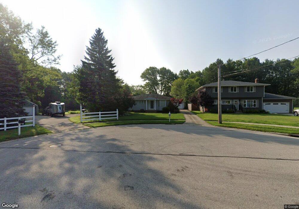
This home is located at 395 Sherry Ln, Berea, OH 44017 and is currently estimated at $215,136, approximately $215 per square foot. 395 Sherry Ln is a home located in Cuyahoga County with nearby schools including Grindstone Elementary School, Berea-Midpark Middle School, and Berea-Midpark High School.
Ownership History
Date
Name
Owned For
Owner Type
Purchase Details
Closed on
Oct 22, 2001
Sold by
Thomas Clifford W and Thomas Christy A
Bought by
Rice Dale E
Current Estimated Value
Home Financials for this Owner
Home Financials are based on the most recent Mortgage that was taken out on this home.
Original Mortgage
$70,000
Outstanding Balance
$25,848
Interest Rate
6.88%
Estimated Equity
$189,288
Purchase Details
Closed on
Apr 6, 1992
Sold by
Shorts Ronald S
Bought by
Thomas Clifford W
Purchase Details
Closed on
Jun 15, 1977
Sold by
Kovac Roger C and Kovac Judith D
Bought by
Shorts Ronald S
Purchase Details
Closed on
Jan 1, 1975
Bought by
Kovac Roger C and Kovac Judith D
Create a Home Valuation Report for This Property
The Home Valuation Report is an in-depth analysis detailing your home's value as well as a comparison with similar homes in the area
Home Values in the Area
Average Home Value in this Area
Purchase History
We collect this data history from publicly available records. To have your information removed, we recommend requesting removal directly through your county’s website.
| Date | Buyer | Sale Price | Title Company |
|---|---|---|---|
| Rice Dale E | $121,000 | Real Estate Title | |
| Thomas Clifford W | $81,500 | -- | |
| Shorts Ronald S | $45,900 | -- | |
| Kovac Roger C | -- | -- |
Source: Public Records
Mortgage History
We collect this data history from publicly available records. To have your information removed, we recommend requesting removal directly through your county’s website.
| Date | Status | Borrower | Loan Amount |
|---|---|---|---|
| Open | Rice Dale E | $70,000 |
Source: Public Records
Tax History
| Year | Tax Paid | Tax Assessment Tax Assessment Total Assessment is a certain percentage of the fair market value that is determined by local assessors to be the total taxable value of land and additions on the property. | Land | Improvement |
|---|---|---|---|---|
| 2025 | $3,933 | $67,900 | $12,040 | $55,860 |
| 2024 | $3,932 | $67,900 | $12,040 | $55,860 |
| 2023 | $3,709 | $53,700 | $9,700 | $44,000 |
| 2022 | $3,685 | $53,690 | $9,700 | $44,000 |
| 2021 | $3,654 | $53,690 | $9,700 | $44,000 |
| 2020 | $3,491 | $45,500 | $8,230 | $37,280 |
| 2019 | $3,398 | $130,000 | $23,500 | $106,500 |
| 2018 | $3,337 | $45,500 | $8,230 | $37,280 |
| 2017 | $3,535 | $44,180 | $7,390 | $36,790 |
| 2016 | $3,509 | $44,180 | $7,390 | $36,790 |
| 2015 | $5,691 | $44,180 | $7,390 | $36,790 |
| 2014 | $5,691 | $42,880 | $7,180 | $35,700 |
Source: Public Records
Map
Nearby Homes
- 379 Laurel Dr
- 136 Stonesthrow Dr
- 509 Chestnut Dr
- 877 Arden Ave
- 255 Buckeye Dr
- 82 Stonesthrow Dr
- 6574 Burton Dr
- 157 Stone Ridge Way
- 159 Stone Ridge Way
- 106 Clay Ct
- 338 N Rocky River Dr
- 348 High St
- 490 Abbyshire Dr
- 333 Parkway Dr
- 93 W 5th Ave
- 0 River Rd Unit 5169658
- 7339 River Rd
- 146 Marian Ln
- 262 Elmwood Dr
- 56 3rd Ave
Your Personal Tour Guide
Ask me questions while you tour the home.