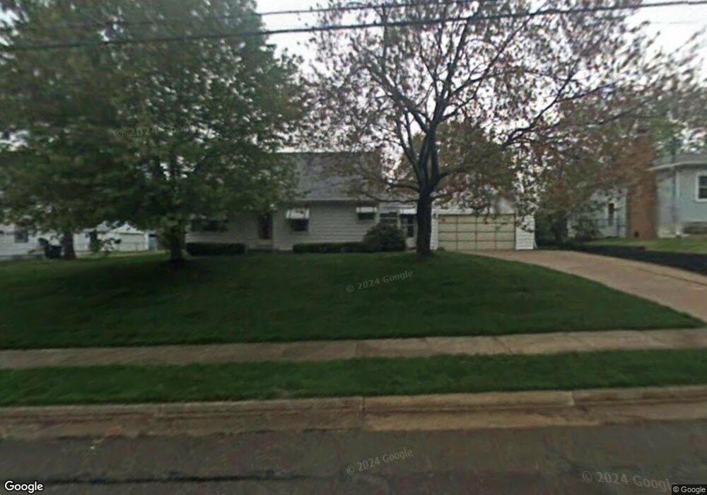
395 Stanley Rd Akron, OH 44312
Ellet NeighborhoodEstimated Value: $167,000 - $190,000
About This Home
This home is located at 395 Stanley Rd, Akron, OH 44312 and is currently estimated at $176,815, approximately $205 per square foot. 395 Stanley Rd is a home located in Summit County with nearby schools including Ellet High School, Summit Academy Akron Elementary School, and Akron Preparatory school.
Ownership History
We collect this data history from publicly available records. To have your information removed, we recommend requesting removal directly through your county’s website.
Purchase Details
Home Financials for this Owner
Home Financials are based on the most recent Mortgage that was taken out on this home.Home Values in the Area
Average Home Value in this Area
Purchase History
We collect this data history from publicly available records. To have your information removed, we recommend requesting removal directly through your county’s website.
| Date | Buyer | Sale Price | Title Company |
|---|---|---|---|
| $94,500 | Attorney |
Mortgage History
We collect this data history from publicly available records. To have your information removed, we recommend requesting removal directly through your county’s website.
| Date | Status | Borrower | Loan Amount |
|---|---|---|---|
| Closed | $75,600 |
Tax History
We collect this data history from publicly available records. To have your information removed, we recommend requesting removal directly through your county’s website.
| Year | Tax Paid | Tax Assessment Tax Assessment Total Assessment is a certain percentage of the fair market value that is determined by local assessors to be the total taxable value of land and additions on the property. | Land | Improvement |
|---|---|---|---|---|
| 2026 | $5,264 | $44,975 | $9,527 | $35,448 |
| 2024 | $2,423 | $44,975 | $9,527 | $35,448 |
| 2023 | $2,423 | $44,975 | $9,527 | $35,448 |
| 2022 | $2,290 | $33,313 | $7,056 | $26,257 |
| 2021 | $2,292 | $33,313 | $7,056 | $26,257 |
| 2020 | $2,258 | $33,320 | $7,060 | $26,260 |
| 2019 | $2,060 | $27,460 | $6,700 | $20,760 |
| 2018 | $1,975 | $27,460 | $6,700 | $20,760 |
| 2017 | $2,122 | $27,460 | $6,700 | $20,760 |
| 2016 | $2,124 | $29,090 | $6,700 | $22,390 |
| 2015 | $2,122 | $29,090 | $6,700 | $22,390 |
| 2014 | $2,105 | $29,090 | $6,700 | $22,390 |
| 2013 | $2,165 | $30,590 | $6,700 | $23,890 |
Map
- 2115 Daniels Ave
- 1869 Springfield Center Rd
- 1925 Quayle Dr
- 611 Herbert Rd
- 613 Fulmer Ave
- 617 Fulmer Ave
- 625 Hillman Rd
- 522 Massillon Rd
- 289 Middlefield Dr
- 302 Homewood Ave
- 751 Woodstock Rd
- 331 Horton Ave
- 327 Horton Ave
- 616 Plainfield Rd
- 1620 Wildon Ave
- 1842 Fenton Ave
- 184 Edgehill Dr
- 663 Essex St
- 667 Essex St
- 2331 E Market St Unit 321B
- 385 Stanley Rd
- 401 Stanley Rd
- 1992 Daniels Ave
- 394 Stanley Rd
- 390 Stanley Rd
- 411 Stanley Rd
- 398 Stanley Rd
- 386 Stanley Rd
- 406 Lansing Rd
- 406 Lansing Rd
- 406 Stanley Rd
- 382 Stanley Rd
- 400 Lansing Rd Unit 402
- 414 Lansing Rd
- 410 Stanley Rd
- 1993 Daniels Ave
- 414 Stanley Rd
- 415 Stanley Rd
- 1991 Daniels Ave Unit 1993
- 426 Lansing Rd
Ask me questions while you tour the home.