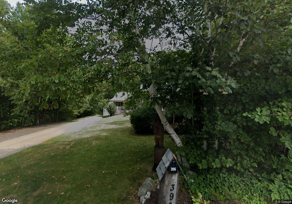
396 Chapel St Holden, MA 01520
Estimated Value: $619,289 - $727,000
3
Beds
2
Baths
2,040
Sq Ft
$340/Sq Ft
Est. Value
About This Home
This home is located at 396 Chapel St, Holden, MA 01520 and is currently estimated at $693,322, approximately $339 per square foot. 396 Chapel St is a home located in Worcester County with nearby schools including Wachusett Regional High School, Abby Kelley Foster Charter Public School, and Holden Christian Academy.
Ownership History
Date
Name
Owned For
Owner Type
Purchase Details
Closed on
Jan 16, 1998
Sold by
Cb Blair Dev Corp
Bought by
Crosby Frank J and Crosby Cindy L
Current Estimated Value
Purchase Details
Closed on
Nov 24, 1997
Sold by
Polytechnic Worcester
Bought by
Cb Blair Dev Corp
Purchase Details
Closed on
Jun 18, 1996
Sold by
Polytechnic Worcester
Bought by
Cb Blair Dev Corp
Create a Home Valuation Report for This Property
The Home Valuation Report is an in-depth analysis detailing your home's value as well as a comparison with similar homes in the area
Home Values in the Area
Average Home Value in this Area
Purchase History
We collect this data history from publicly available records. To have your information removed, we recommend requesting removal directly through your county’s website.
| Date | Buyer | Sale Price | Title Company |
|---|---|---|---|
| Crosby Frank J | $145,000 | -- | |
| Cb Blair Dev Corp | $23,500 | -- | |
| Cb Blair Dev Corp | $23,500 | -- |
Source: Public Records
Mortgage History
We collect this data history from publicly available records. To have your information removed, we recommend requesting removal directly through your county’s website.
| Date | Status | Borrower | Loan Amount |
|---|---|---|---|
| Open | Cb Blair Dev Corp | $83,500 | |
| Open | Cb Blair Dev Corp | $180,000 | |
| Closed | Cb Blair Dev Corp | $150,000 |
Source: Public Records
Tax History
| Year | Tax Paid | Tax Assessment Tax Assessment Total Assessment is a certain percentage of the fair market value that is determined by local assessors to be the total taxable value of land and additions on the property. | Land | Improvement |
|---|---|---|---|---|
| 2025 | $7,556 | $545,200 | $184,400 | $360,800 |
| 2024 | $7,272 | $513,900 | $179,100 | $334,800 |
| 2023 | $6,901 | $460,400 | $155,700 | $304,700 |
| 2022 | $6,520 | $393,700 | $121,500 | $272,200 |
| 2021 | $6,349 | $364,900 | $115,800 | $249,100 |
| 2020 | $6,149 | $361,700 | $110,300 | $251,400 |
| 2019 | $6,071 | $347,900 | $110,300 | $237,600 |
| 2018 | $5,822 | $330,600 | $104,900 | $225,700 |
| 2017 | $5,699 | $324,000 | $104,900 | $219,100 |
| 2016 | $5,370 | $311,300 | $99,900 | $211,400 |
| 2015 | $5,467 | $301,700 | $99,900 | $201,800 |
| 2014 | $5,355 | $301,700 | $99,900 | $201,800 |
Source: Public Records
Map
Nearby Homes
- 884 Main St
- 81 Deanna Dr
- 15 Tyler Dr
- 64 Deanna Dr
- 22 Pine Tree Rd Unit 22
- 24 Pine Tree Rd Unit 24
- 55 Pine Tree Rd Unit 55
- 59 Pine Tree Rd Unit 59
- 61 Pine Tree Rd Unit 61
- 73 Pine Tree Rd Unit 73
- 263 Highland St
- 85 Bailey Rd
- 144 Bailey Rd
- 78 Highland St
- 6 Towle Dr
- 30 Cimarron Ln
- 34 Fort Sumter Dr
- 38 Juniper Ln
- 192 Reservoir St
- 402 Prospect St
Your Personal Tour Guide
Ask me questions while you tour the home.