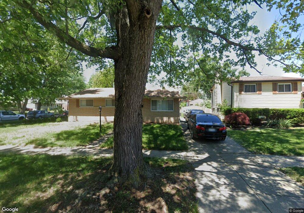
39680 Cather St Unit Bldg-Unit Canton, MI 48187
Estimated Value: $303,000 - $321,650
Studio
2
Baths
1,253
Sq Ft
$249/Sq Ft
Est. Value
About This Home
This home is located at 39680 Cather St Unit Bldg-Unit, Canton, MI 48187 and is currently estimated at $311,913, approximately $248 per square foot. 39680 Cather St Unit Bldg-Unit is a home located in Wayne County with nearby schools including Canton High School, East Middle School, and Salem High School.
Ownership History
Date
Name
Owned For
Owner Type
Purchase Details
Closed on
Apr 11, 2018
Sold by
Federal National Mortgage Association
Bought by
Abdelfatah Mahmoud
Current Estimated Value
Home Financials for this Owner
Home Financials are based on the most recent Mortgage that was taken out on this home.
Original Mortgage
$153,900
Outstanding Balance
$90,516
Interest Rate
4.46%
Mortgage Type
Credit Line Revolving
Estimated Equity
$221,397
Purchase Details
Closed on
May 18, 2017
Sold by
Wheeing Patricia A
Bought by
Mae Funnie
Create a Home Valuation Report for This Property
The Home Valuation Report is an in-depth analysis detailing your home's value as well as a comparison with similar homes in the area
Home Values in the Area
Average Home Value in this Area
Purchase History
We collect this data history from publicly available records. To have your information removed, we recommend requesting removal directly through your county’s website.
| Date | Buyer | Sale Price | Title Company |
|---|---|---|---|
| Abdelfatah Mahmoud | $162,000 | None Available | |
| Mae Funnie | $133,890 | None Available |
Source: Public Records
Mortgage History
We collect this data history from publicly available records. To have your information removed, we recommend requesting removal directly through your county’s website.
| Date | Status | Borrower | Loan Amount |
|---|---|---|---|
| Open | Abdelfatah Mahmoud | $153,900 |
Source: Public Records
Tax History
| Year | Tax Paid | Tax Assessment Tax Assessment Total Assessment is a certain percentage of the fair market value that is determined by local assessors to be the total taxable value of land and additions on the property. | Land | Improvement |
|---|---|---|---|---|
| 2025 | $1,869 | $144,900 | $0 | $0 |
| 2024 | $1,815 | $129,200 | $0 | $0 |
| 2023 | $1,731 | $120,200 | $0 | $0 |
| 2022 | $3,820 | $108,900 | $0 | $0 |
| 2021 | $3,705 | $99,500 | $0 | $0 |
| 2020 | $3,798 | $101,000 | $0 | $0 |
| 2019 | $3,728 | $88,860 | $0 | $0 |
| 2018 | $1,536 | $87,190 | $0 | $0 |
| 2017 | $4,253 | $84,000 | $0 | $0 |
| 2016 | $2,702 | $81,000 | $0 | $0 |
| 2015 | $6,608 | $72,600 | $0 | $0 |
| 2013 | $6,415 | $65,590 | $0 | $0 |
| 2010 | -- | $68,240 | $35,406 | $32,834 |
Source: Public Records
Map
Nearby Homes
- 39619 Peters Dr
- 7970 Alton St
- 8364 Holly Dr
- 40055 Koppernick Rd
- 40344 Newport Dr
- 40318 Newport Dr
- 40350 Newport Dr Unit 48
- 40504 Newport Dr
- 9133 Tavistock Dr
- 39500 Warren Rd Unit 242
- 39500 Warren Rd Unit 144
- 39500 Warren Rd Unit 274
- 39500 Warren Rd Unit 115
- 39500 Warren Rd
- 40524 Newport Dr
- 40526 Newport Dr Unit 99
- 40592 Newport Dr Unit 125
- 40815 Newport Dr Unit 237
- 9310 Oakcliffe Dr
- 39500 Warren Road Lot#274
- 39680 Cather St
- 39666 Cather St
- 39652 Cather St
- 39773 Peters Dr
- 39759 Peters Dr
- 39638 Cather St
- 8147 Holly Dr
- 39745 Peters Dr
- 8159 Holly Dr
- 8171 Holly Dr
- 39689 Cather St
- 39669 Cather St
- 39731 Peters Dr
- 8183 Holly Dr
- 39624 Cather St
- 39655 Cather St
- 39815 Cather St
- 39641 Cather St
- 39827 Cather St
- 39717 Peters Dr
Your Personal Tour Guide
Ask me questions while you tour the home.