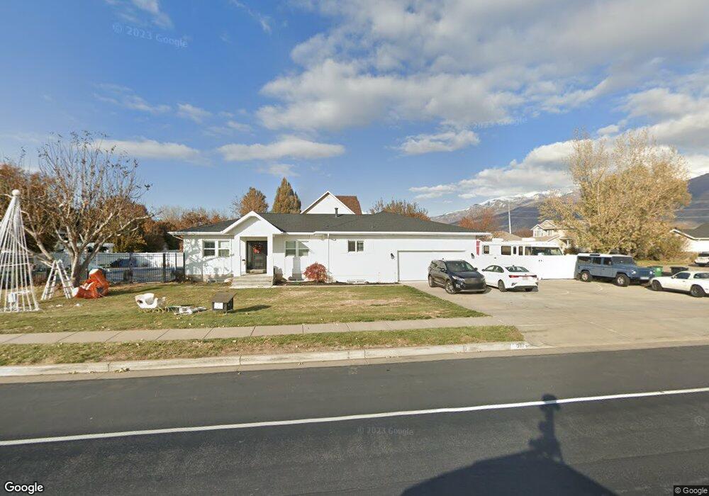
397 E Shepard Ln Kaysville, UT 84037
West Kaysville NeighborhoodEstimated Value: $677,000 - $750,000
3
Beds
3
Baths
3,474
Sq Ft
$201/Sq Ft
Est. Value
About This Home
This home is located at 397 E Shepard Ln, Kaysville, UT 84037 and is currently estimated at $698,911, approximately $201 per square foot. 397 E Shepard Ln is a home located in Davis County with nearby schools including Endeavour Elementary School, Farmington High, and Centennial Junior High School.
Ownership History
Date
Name
Owned For
Owner Type
Purchase Details
Closed on
Nov 14, 2012
Sold by
Fuller Jared W and Fuller Tedette S
Bought by
Fuller Jared W and Fuller Tedette S
Current Estimated Value
Home Financials for this Owner
Home Financials are based on the most recent Mortgage that was taken out on this home.
Original Mortgage
$193,600
Outstanding Balance
$132,984
Interest Rate
3.34%
Mortgage Type
New Conventional
Estimated Equity
$565,927
Purchase Details
Closed on
Apr 13, 2000
Sold by
Southridge Development Corp and Frost Robert F
Bought by
Fuller Jared W and Fuller Tedetie S
Home Financials for this Owner
Home Financials are based on the most recent Mortgage that was taken out on this home.
Original Mortgage
$154,750
Interest Rate
8.24%
Purchase Details
Closed on
Sep 30, 1998
Sold by
Mcbride Barbara H and Pardoe Lucy Jean H
Bought by
Hess George M and Hess Dora Ann H
Create a Home Valuation Report for This Property
The Home Valuation Report is an in-depth analysis detailing your home's value as well as a comparison with similar homes in the area
Home Values in the Area
Average Home Value in this Area
Purchase History
| Date | Buyer | Sale Price | Title Company |
|---|---|---|---|
| Fuller Jared W | -- | Inwest Title Services Inc | |
| Fuller Jared W | -- | Bonneville Title Company Inc | |
| Hess George M | -- | -- |
Source: Public Records
Mortgage History
| Date | Status | Borrower | Loan Amount |
|---|---|---|---|
| Open | Fuller Jared W | $193,600 | |
| Closed | Fuller Jared W | $154,750 |
Source: Public Records
Tax History
| Year | Tax Paid | Tax Assessment Tax Assessment Total Assessment is a certain percentage of the fair market value that is determined by local assessors to be the total taxable value of land and additions on the property. | Land | Improvement |
|---|---|---|---|---|
| 2025 | $3,486 | $351,450 | $212,695 | $138,755 |
| 2024 | $3,295 | $337,150 | $203,229 | $133,921 |
| 2023 | $3,352 | $607,000 | $357,250 | $249,750 |
| 2022 | $3,378 | $345,950 | $194,829 | $151,121 |
| 2021 | $3,053 | $468,000 | $235,047 | $232,953 |
| 2020 | $2,739 | $408,000 | $201,521 | $206,479 |
| 2019 | $2,694 | $394,000 | $199,305 | $194,695 |
| 2018 | $2,542 | $370,000 | $169,522 | $200,478 |
| 2016 | $2,492 | $189,915 | $79,309 | $110,606 |
| 2015 | $2,463 | $178,255 | $79,309 | $98,946 |
| 2014 | $2,040 | $150,217 | $63,146 | $87,071 |
| 2013 | -- | $127,052 | $49,798 | $77,254 |
Source: Public Records
Map
Nearby Homes
- 1881 Haight Creek Loop
- 1147 Haight Creek Loop
- 1456 June Dr
- 1647 W 1410 N
- 1762 S 350 E
- 1797 S 500 E
- 318 E 1700 S
- 1181 Set Ct Unit 2
- 1873 W 800 N
- 2195 S Betsy's Way
- 1572 Stayner Dr
- 1453 S 400 E
- 1406 Swinton Ln
- 163 E 1400 S
- 1485 Burke Ln Unit 102
- 463 E 1310 S
- 1443 W 1875 N
- 1482 W Kiera Ct Unit 145
- 1316 S 150 E
- 1317 S 150 E
Your Personal Tour Guide
Ask me questions while you tour the home.