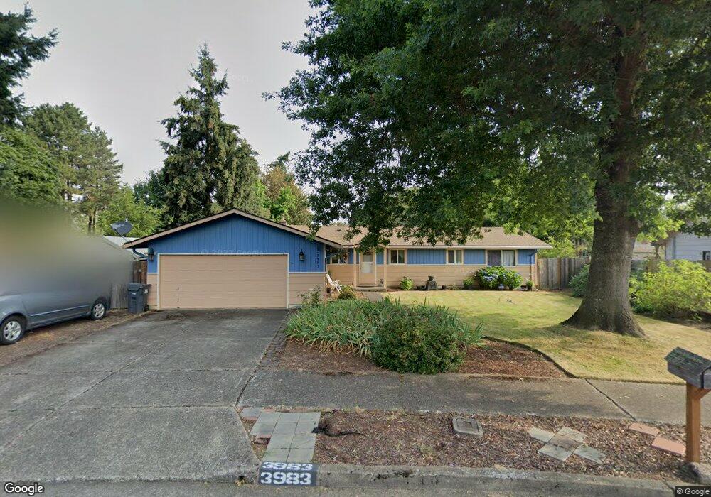
3983 Cornell Way Eugene, OR 97405
Churchill NeighborhoodEstimated Value: $411,000 - $437,307
3
Beds
2
Baths
1,527
Sq Ft
$278/Sq Ft
Est. Value
About This Home
This home is located at 3983 Cornell Way, Eugene, OR 97405 and is currently estimated at $424,577, approximately $278 per square foot. 3983 Cornell Way is a home located in Lane County with nearby schools including Twin Oaks Elementary School, Kennedy Middle School, and Churchill High School.
Create a Home Valuation Report for This Property
The Home Valuation Report is an in-depth analysis detailing your home's value as well as a comparison with similar homes in the area
Home Values in the Area
Average Home Value in this Area
Tax History
| Year | Tax Paid | Tax Assessment Tax Assessment Total Assessment is a certain percentage of the fair market value that is determined by local assessors to be the total taxable value of land and additions on the property. | Land | Improvement |
|---|---|---|---|---|
| 2025 | $4,795 | $246,105 | -- | -- |
| 2024 | $4,735 | $238,937 | -- | -- |
| 2023 | $4,735 | $231,978 | $0 | $0 |
| 2022 | $4,436 | $225,222 | $0 | $0 |
| 2021 | $4,167 | $218,663 | $0 | $0 |
| 2020 | $4,181 | $212,295 | $0 | $0 |
| 2019 | $4,038 | $206,112 | $0 | $0 |
| 2018 | $3,771 | $194,281 | $0 | $0 |
| 2017 | $3,476 | $194,281 | $0 | $0 |
| 2016 | $3,296 | $188,622 | $0 | $0 |
| 2015 | $3,158 | $183,128 | $0 | $0 |
| 2014 | $3,097 | $177,794 | $0 | $0 |
Source: Public Records
Map
Nearby Homes
- 1980 Princeton Dr
- 1885 Churchill St
- 1925 Harvard Dr
- 1625 S Bertelsen Rd
- 3958 Pam St
- 3826 Peppertree Dr
- 1415 S Bertelsen Rd Unit 96
- 1415 S Bertelsen Rd Unit 34
- 1415 S Bertelsen Rd Unit 143
- 3705 Peppertree Dr
- 3534 Westleigh St
- 3823 Wilshire Ln
- 4048 Eagle View Dr
- 3899 Colony Oaks Dr
- 0 Eagle View Dr Unit 3 773016563
- 2842 Greentree Way
- 3809 Colony Oaks Dr
- 3818 Colony Oaks Dr Unit 6
- 3812 Colony Oaks Dr Unit 28
- 3343 Bentley Ave
- 1949 Princeton Dr
- 1960 Parliament St Unit VRM
- 1960 Parliament St
- 1950 Parliament St
- 3973 Cornell Way
- 1929 Princeton Dr
- 3970 Cornell Way
- 3963 Cornell Way
- 1989 Princeton Dr
- 1970 Parliament St
- 1887 Princeton Dr
- 1940 Parliament St
- 2060 Parliament St
- 1940 Princeton Dr
- 3953 Cornell Way
- 3958 Cornell Way
- 2015 Princeton Dr
- 2090 Parliament St
- 1980 Parliament St
- 1920 Princeton Dr
Your Personal Tour Guide
Ask me questions while you tour the home.