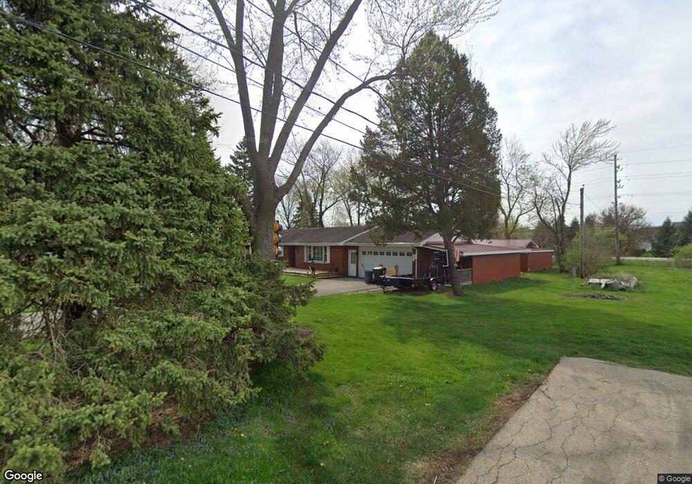
39W301 Lyndale Rd Aurora, IL 60506
Montgomery AreaEstimated Value: $342,089
About This Home
This home is located at 39W301 Lyndale Rd, Aurora, IL 60506 and is currently priced at $342,089, approximately $318 per square foot. 39W301 Lyndale Rd is a home located in Kane County.
Ownership History
We collect this data history from publicly available records. To have your information removed, we recommend requesting removal directly through your county’s website.
Purchase Details
Home Financials for this Owner
Home Financials are based on the most recent Mortgage that was taken out on this home.Home Values in the Area
Average Home Value in this Area
Purchase History
We collect this data history from publicly available records. To have your information removed, we recommend requesting removal directly through your county’s website.
| Date | Buyer | Sale Price | Title Company |
|---|---|---|---|
| $202,500 | Multiple |
Mortgage History
We collect this data history from publicly available records. To have your information removed, we recommend requesting removal directly through your county’s website.
| Date | Status | Borrower | Loan Amount |
|---|---|---|---|
| Open | $82,780 | ||
| Closed | $102,500 |
Tax History
We collect this data history from publicly available records. To have your information removed, we recommend requesting removal directly through your county’s website.
| Year | Tax Paid | Tax Assessment Tax Assessment Total Assessment is a certain percentage of the fair market value that is determined by local assessors to be the total taxable value of land and additions on the property. | Land | Improvement |
|---|---|---|---|---|
| 2025 | $6,888 | $98,634 | $32,321 | $66,313 |
| 2024 | $6,888 | $91,472 | $29,974 | $61,498 |
| 2023 | $6,452 | $82,497 | $27,033 | $55,464 |
| 2022 | $6,245 | $76,161 | $24,957 | $51,204 |
| 2021 | $6,007 | $72,479 | $23,750 | $48,729 |
| 2020 | $5,919 | $70,932 | $23,243 | $47,689 |
| 2019 | $5,826 | $68,613 | $22,483 | $46,130 |
| 2018 | $5,752 | $66,295 | $22,612 | $43,683 |
| 2017 | $5,566 | $63,313 | $21,595 | $41,718 |
| 2016 | $5,424 | $60,523 | $20,643 | $39,880 |
| 2015 | -- | $56,311 | $19,206 | $37,105 |
| 2014 | -- | $53,845 | $18,365 | $35,480 |
| 2013 | -- | $54,411 | $18,558 | $35,853 |
Map
- 2341 Mayfield Dr
- 2530 Shauna Dr Unit 5
- 2321 Amsterdam Cir
- 2222 Lynn Ct Unit 2
- 2636 Jenna Cir
- 2285 Stacy Cir
- 2820 Troon Dr
- 2246 Margaret Dr
- 47 Pasadena Dr Unit 1
- 2269 Rebecca Cir
- 2789 Avalon Ln Unit 6
- 2862 Brian Ln Unit 2
- 2955 Shetland Ln
- 2469 Hillsboro Ln Unit 4
- 2109 Chad Ln
- 4429 E Millbrook Cir
- 1832 Stirling Ln
- 2466 Prescott Dr
- 1 Highway 30
- 2688 Big Grove Ln
- 9S945 Lyndale Rd
- 9S945 Lyndale Rd
- 2631 Bluegrass Dr
- 2058 Kate Dr
- 2060 Kate Dr
- 1760 Lyndale Rd
- 2062 Kate Dr
- 2056 Kate Dr
- 2064 Kate Dr
- 2054 Kate Dr
- 2066 Kate Dr
- 1750 Lyndale Rd
- 2038 Kate Ct
- 9S966 Blackberry Rd
- 2068 Kate Dr
- 2052 Kate Dr
- 1735 Lyndale Rd
- 2036 Kate Ct
- 9S938 Blackberry Rd
- 2630 Bluegrass-Lyndale
Ask me questions while you tour the home.