4 Ash Dr Unit 35 Littlestown, PA 17340
Estimated Value: $291,000 - $420,000
About This Home
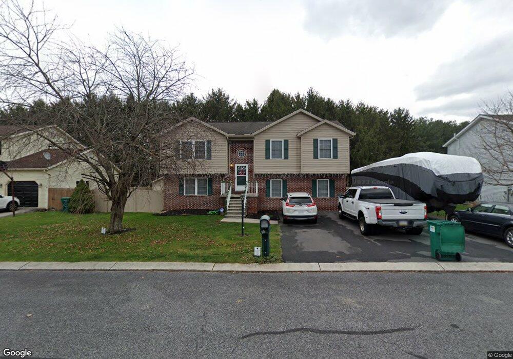
This home is located at 4 Ash Dr Unit 35, Littlestown, PA 17340 and is currently estimated at $335,108, approximately $272 per square foot. 4 Ash Dr Unit 35 is a home located in Adams County with nearby schools including Rolling Acres El School, Maple Avenue Middle School, and Littlestown Senior High School.
Ownership History
We collect this data history from publicly available records. To have your information removed, we recommend requesting removal directly through your county’s website.
Purchase Details
Home Financials for this Owner
Home Financials are based on the most recent Mortgage that was taken out on this home.Purchase History
We collect this data history from publicly available records. To have your information removed, we recommend requesting removal directly through your county’s website.
| Date | Buyer | Sale Price | Title Company |
|---|---|---|---|
| $235,900 | -- |
Mortgage History
We collect this data history from publicly available records. To have your information removed, we recommend requesting removal directly through your county’s website.
| Date | Status | Borrower | Loan Amount |
|---|---|---|---|
| Open | $47,180 | ||
| Open | $188,720 |
Tax History
We collect this data history from publicly available records. To have your information removed, we recommend requesting removal directly through your county’s website.
| Year | Tax Paid | Tax Assessment Tax Assessment Total Assessment is a certain percentage of the fair market value that is determined by local assessors to be the total taxable value of land and additions on the property. | Land | Improvement |
|---|---|---|---|---|
| 2026 | $4,624 | $216,600 | $25,000 | $191,600 |
| 2025 | $5,330 | $216,600 | $25,000 | $191,600 |
| 2024 | $4,443 | $216,600 | $25,000 | $191,600 |
| 2023 | $4,311 | $216,600 | $25,000 | $191,600 |
| 2022 | $4,175 | $216,600 | $25,000 | $191,600 |
| 2021 | $4,040 | $216,600 | $25,000 | $191,600 |
| 2020 | $4,237 | $216,600 | $25,000 | $191,600 |
| 2019 | $4,149 | $216,600 | $25,000 | $191,600 |
| 2018 | $3,831 | $216,600 | $25,000 | $191,600 |
| 2017 | $3,723 | $216,600 | $25,000 | $191,600 |
| 2016 | -- | $216,600 | $25,000 | $191,600 |
| 2015 | -- | $216,600 | $25,000 | $191,600 |
| 2014 | -- | $216,600 | $25,000 | $191,600 |
Map
- 38 Bonniefield Cir Unit 20
- 2 Carole Ct Unit 19
- 34 Bonniefield Cir Unit 22
- 7 Elm Ave
- 25 E Hanover St
- 9 Maple St
- 25 Pioneer Ln Unit 76
- 56 Red Bird Ln
- 123 Homestead Dr
- 70 Granite Station Rd
- 65 W Crest View Ln
- 2160 Hanover Rd Unit 22
- 680 Grant Dr Unit 680
- 681 Grant Dr Unit 681
- 145 Roberts Rd
- 663 Curtis Dr
- 1384 Bon Ox Rd
- 857 Hancock Dr Unit 857
- 871 Sherman Dr Unit 871
- 571 Hooker Dr Unit 571
- 5 Ash Dr
- 7 Ash Dr Unit 30
- 3 Ash Dr Unit 32
- 6 Ash Dr Unit 36
- 8 Ash Dr Unit 37
- 9 Ash Dr Unit 29
- 1 Ash Dr Unit 33
- 10 Ash Dr Unit 38
- 16 White Birch Dr Unit 28
- 2 Ash Dr Unit 34
- 14 White Birch Dr Unit 27
- 12 Ash Dr Unit 39
- 84 Maple St
- 12 White Birch Dr Unit 26
- 14 Ash Dr Unit 40
- 1 S Bonniefield Dr Unit 70
- 19 White Birch Dr Unit 24
- 17 White Birch Dr Unit 23
- 10 White Birch Dr Unit 25
- 2 S Bonniefield Dr Unit 65
Ask me questions while you tour the home.