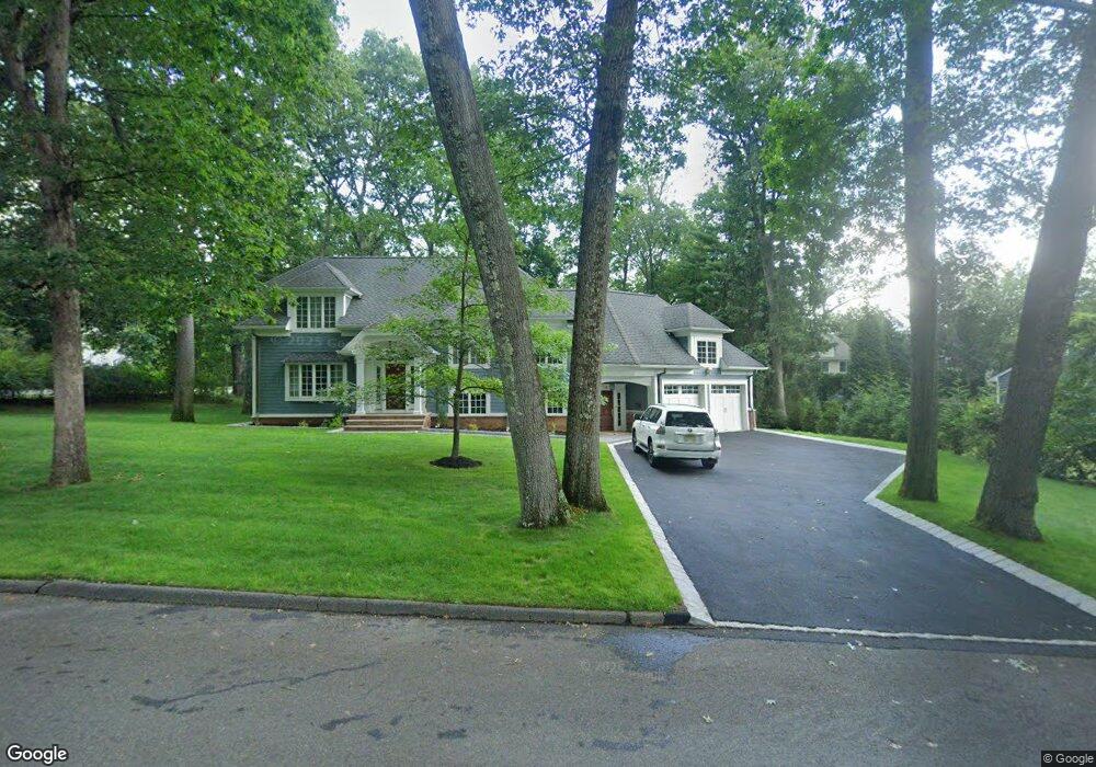
4 Donnybrook Dr Demarest, NJ 07627
Estimated Value: $1,691,000 - $2,068,000
Studio
--
Bath
4,687
Sq Ft
$398/Sq Ft
Est. Value
About This Home
This home is located at 4 Donnybrook Dr, Demarest, NJ 07627 and is currently estimated at $1,867,104, approximately $398 per square foot. 4 Donnybrook Dr is a home located in Bergen County with nearby schools including County Road Elementary School, Luther Lee Emerson Elementary School, and Demarest Middle School.
Ownership History
Date
Name
Owned For
Owner Type
Purchase Details
Closed on
Sep 17, 2024
Sold by
Difrancesco Virginia
Bought by
Ricchiuto Michael and Ricchiuto Shana
Current Estimated Value
Home Financials for this Owner
Home Financials are based on the most recent Mortgage that was taken out on this home.
Original Mortgage
$1,120,000
Interest Rate
6.32%
Mortgage Type
New Conventional
Create a Home Valuation Report for This Property
The Home Valuation Report is an in-depth analysis detailing your home's value as well as a comparison with similar homes in the area
Home Values in the Area
Average Home Value in this Area
Purchase History
| Date | Buyer | Sale Price | Title Company |
|---|---|---|---|
| Ricchiuto Michael | $1,600,000 | None Listed On Document |
Source: Public Records
Mortgage History
| Date | Status | Borrower | Loan Amount |
|---|---|---|---|
| Previous Owner | Ricchiuto Michael | $1,120,000 |
Source: Public Records
Tax History
| Year | Tax Paid | Tax Assessment Tax Assessment Total Assessment is a certain percentage of the fair market value that is determined by local assessors to be the total taxable value of land and additions on the property. | Land | Improvement |
|---|---|---|---|---|
| 2025 | $30,692 | $1,662,300 | $881,400 | $780,900 |
| 2024 | $29,297 | $1,004,000 | $503,200 | $500,800 |
| 2023 | $28,254 | $1,004,000 | $503,200 | $500,800 |
| 2022 | $28,504 | $1,004,000 | $503,200 | $500,800 |
| 2021 | $27,551 | $1,004,000 | $503,200 | $500,800 |
| 2020 | $27,765 | $1,026,800 | $503,200 | $523,600 |
| 2019 | $26,964 | $1,026,800 | $503,200 | $523,600 |
| 2018 | $26,132 | $1,026,800 | $503,200 | $523,600 |
| 2017 | $25,506 | $1,026,800 | $503,200 | $523,600 |
| 2016 | $25,105 | $1,026,800 | $503,200 | $523,600 |
| 2015 | $24,516 | $1,026,800 | $503,200 | $523,600 |
| 2014 | $23,982 | $1,026,800 | $503,200 | $523,600 |
Source: Public Records
Map
Nearby Homes
- 10 Donnybrook Dr
- 161 Columbus Ave
- 14 Ryerson Place
- 174 Columbus Rd
- 183 Columbus Rd
- 179 Columbus Rd
- 20 Ryerson Place
- 175 Columbus Rd
- 9 Donnybrook Dr
- 24 Ryerson Place
- 164 Columbus Ave
- 153 Columbus Ave
- 171 Columbus Rd
- 19 Ryerson Place
- 192 Chestnut St
- 186 Chestnut St
- 32 Ryerson Place
- 58 Prospect St
- 15 Donnybrook Dr
- 147 Columbus Ave
Your Personal Tour Guide
Ask me questions while you tour the home.