Estimated Value: $430,889 - $478,000
2
Beds
2
Baths
1,217
Sq Ft
$371/Sq Ft
Est. Value
About This Home
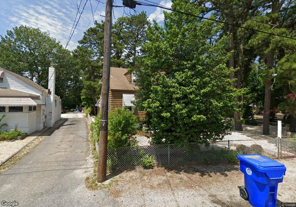
This home is located at 4 Ebb Tide Dr, Brick, NJ 08723 and is currently estimated at $451,222, approximately $370 per square foot. 4 Ebb Tide Dr is a home located in Ocean County with nearby schools including Emma Havens Young Elementary School, Lake Riviera Middle School, and Brick Township High School.
Ownership History
Date
Name
Owned For
Owner Type
Purchase Details
Closed on
Sep 2, 1999
Sold by
Cymansky Henry A and Cymansky Betty Ann
Bought by
Cymansky Jeffrey
Current Estimated Value
Home Financials for this Owner
Home Financials are based on the most recent Mortgage that was taken out on this home.
Original Mortgage
$55,000
Interest Rate
7.8%
Mortgage Type
Seller Take Back
Create a Home Valuation Report for This Property
The Home Valuation Report is an in-depth analysis detailing your home's value as well as a comparison with similar homes in the area
Home Values in the Area
Average Home Value in this Area
Purchase History
| Date | Buyer | Sale Price | Title Company |
|---|---|---|---|
| Cymansky Jeffrey | $95,000 | Commonwealth Land Title Ins |
Source: Public Records
Mortgage History
| Date | Status | Borrower | Loan Amount |
|---|---|---|---|
| Previous Owner | Cymansky Jeffrey | $55,000 |
Source: Public Records
Tax History
| Year | Tax Paid | Tax Assessment Tax Assessment Total Assessment is a certain percentage of the fair market value that is determined by local assessors to be the total taxable value of land and additions on the property. | Land | Improvement |
|---|---|---|---|---|
| 2025 | $6,761 | $249,100 | $133,100 | $116,000 |
| 2024 | $6,115 | $249,100 | $133,100 | $116,000 |
| 2023 | $6,036 | $249,100 | $133,100 | $116,000 |
| 2022 | $6,036 | $249,100 | $133,100 | $116,000 |
| 2021 | $5,488 | $249,100 | $133,100 | $116,000 |
| 2020 | $5,834 | $249,100 | $133,100 | $116,000 |
| 2019 | $5,737 | $249,100 | $133,100 | $116,000 |
| 2018 | $5,605 | $249,100 | $133,100 | $116,000 |
| 2017 | $5,453 | $249,100 | $133,100 | $116,000 |
| 2016 | $5,425 | $249,100 | $133,100 | $116,000 |
| 2015 | $5,283 | $249,100 | $133,100 | $116,000 |
| 2014 | $5,241 | $249,100 | $133,100 | $116,000 |
Source: Public Records
Map
Nearby Homes
- 00 Mantoloking Rd
- 15 Hulse Landing Rd
- 421 Malibu Way
- 354 Mantoloking Rd
- 53 Country Club Ct
- 439 Adamston Rd
- 471 Woodpark Dr
- 478 Mantoloking Rd
- 61 Reservation Row
- 477 Mantoloking Rd
- 00 Adamston Dr
- 0 Mantoloking Rd Unit 11584872
- 484 Bara St
- 56 Tall Timber Dr
- 488 Mohawk Dr
- 507 Adamston Rd
- 53 Driftwood Dr
- 502 Princeton Ave
- 536 Princeton Ave
- 9 Bayberry Ave
- 2 Ebb Tide Dr
- 8 Ebb Tide Dr
- 396 Barnegat Ln
- 10 Ebb Tide Dr
- 12 Ebb Tide Dr
- 3 Ebb Tide Dr
- 5 Ebb Tide Dr
- 1 Ebb Tide Dr
- 9 Ebb Tide Dr
- 11 N Raleigh Rd
- 11 Ebb Tide Dr
- 15 N Raleigh Rd
- 2 Riverview Dr
- 4 Riverview Dr
- 406 Mantoloking Rd
- 16 Ebb Tide Dr
- 13 Ebb Tide Dr
- 8 Riverview Dr
- 17 N Raleigh Rd
- 399 Mantoloking Rd
Your Personal Tour Guide
Ask me questions while you tour the home.