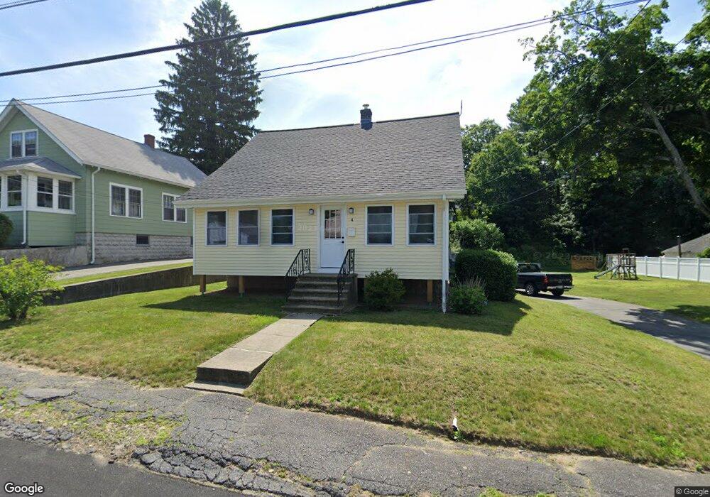
4 Forest Dr Auburn, MA 01501
Stoneville NeighborhoodEstimated Value: $419,000 - $458,000
3
Beds
1
Bath
1,100
Sq Ft
$392/Sq Ft
Est. Value
About This Home
This home is located at 4 Forest Dr, Auburn, MA 01501 and is currently estimated at $431,374, approximately $392 per square foot. 4 Forest Dr is a home located in Worcester County with nearby schools including Auburn Senior High School, Canterbury Street School, and Shrewsbury Montessori School - Auburn Campus.
Ownership History
Date
Name
Owned For
Owner Type
Purchase Details
Closed on
Aug 12, 2025
Sold by
Warren Robert A and Warren Christine M
Bought by
Warren Robert A
Current Estimated Value
Purchase Details
Closed on
Sep 30, 2004
Sold by
Roche Michelle L
Bought by
Warren Christine M and Warren Robert A
Home Financials for this Owner
Home Financials are based on the most recent Mortgage that was taken out on this home.
Original Mortgage
$230,860
Interest Rate
5.81%
Mortgage Type
Purchase Money Mortgage
Purchase Details
Closed on
Sep 29, 2000
Sold by
Provencal Raymond A
Bought by
Roche Michelle L
Purchase Details
Closed on
Aug 29, 1996
Sold by
Berry Joyce A
Bought by
Provencal Raymond A
Create a Home Valuation Report for This Property
The Home Valuation Report is an in-depth analysis detailing your home's value as well as a comparison with similar homes in the area
Home Values in the Area
Average Home Value in this Area
Purchase History
| Date | Buyer | Sale Price | Title Company |
|---|---|---|---|
| Warren Robert A | -- | -- | |
| Warren Robert A | -- | -- | |
| Warren Christine M | $238,000 | -- | |
| Warren Christine M | $238,000 | -- | |
| Warren Christine M | $238,000 | -- | |
| Roche Michelle L | $141,000 | -- | |
| Roche Michelle L | $141,000 | -- | |
| Provencal Raymond A | $95,000 | -- | |
| Provencal Raymond A | $95,000 | -- |
Source: Public Records
Mortgage History
| Date | Status | Borrower | Loan Amount |
|---|---|---|---|
| Previous Owner | Warren Christine M | $230,860 | |
| Previous Owner | Provencal Raymond A | $139,926 |
Source: Public Records
Tax History
| Year | Tax Paid | Tax Assessment Tax Assessment Total Assessment is a certain percentage of the fair market value that is determined by local assessors to be the total taxable value of land and additions on the property. | Land | Improvement |
|---|---|---|---|---|
| 2025 | $5,359 | $375,000 | $110,000 | $265,000 |
| 2024 | $5,036 | $337,300 | $105,200 | $232,100 |
| 2023 | $4,969 | $312,900 | $95,700 | $217,200 |
| 2022 | $4,348 | $258,500 | $95,700 | $162,800 |
| 2021 | $4,000 | $220,500 | $84,500 | $136,000 |
| 2020 | $3,878 | $215,700 | $84,500 | $131,200 |
| 2019 | $3,782 | $205,300 | $79,300 | $126,000 |
| 2018 | $4,159 | $193,500 | $74,100 | $119,400 |
| 2017 | $3,393 | $185,000 | $67,200 | $117,800 |
| 2016 | $3,224 | $178,200 | $70,000 | $108,200 |
| 2015 | $2,996 | $173,600 | $70,000 | $103,600 |
| 2014 | $2,939 | $170,000 | $66,600 | $103,400 |
Source: Public Records
Map
Nearby Homes
- 88 Shore Dr
- 52 Woodland Rd
- 18 Meena Dr
- 99 Clover St
- 133 Boyce St
- 19 Oakwood Ave
- 18 Carroll St
- 25 Vinal St Unit 28
- 25 Vinal St Unit 26
- 112 Hampton St
- 204-212 Hampton St
- 10 Hulbert Rd Unit 10
- 2902 Forest Park Dr Unit 2902
- 14 Goddard Dr
- 6 Epworth St
- 29 Cambridge St
- 50 Sophia Dr
- 56 Richards St
- 28 Bittersweet Blvd
- 54 Richards St
- 8 Forest Dr
- 25 Woodland Rd
- 7 Forest Dr Unit 7, 501
- 23 Pineview Trail
- 12 Forest Dr
- 21 Woodland Rd
- 5 Forest Dr
- 2 Alpine Trail
- 13 Forest Dr Unit 13
- 2 Forest Dr Unit 3
- 9 Forest Dr
- 19 Woodland Rd
- 1201 Forest Hills Dr Unit 57
- 3 Alpine Trail
- 22 Woodland Rd
- 14 Forest Dr
- 15 Alpine Trail
- 15 Forest Dr
- 10 Shore Dr
- 17 Woodland Rd
Your Personal Tour Guide
Ask me questions while you tour the home.