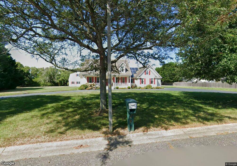
4 Hannah Dr Cape May, NJ 08204
Estimated Value: $1,025,531 - $1,462,000
Studio
--
Bath
2,179
Sq Ft
$579/Sq Ft
Est. Value
About This Home
This home is located at 4 Hannah Dr, Cape May, NJ 08204 and is currently estimated at $1,260,883, approximately $578 per square foot. 4 Hannah Dr is a home located in Cape May County with nearby schools including Carl T. Mitnick School, David C. Douglass Veterans Memorial School, and Maud Abrams School.
Ownership History
Date
Name
Owned For
Owner Type
Purchase Details
Closed on
Nov 4, 2025
Sold by
Trusiak Kristine
Bought by
Souder Howard R
Current Estimated Value
Purchase Details
Closed on
Feb 18, 2025
Sold by
Cecilia C Souder Residence Trust and Souder Cecilia C
Bought by
Souder Howard R and Trusiak Kristine
Purchase Details
Closed on
Sep 2, 2009
Sold by
Souder Cecilia C
Bought by
Cecilia C Souder Residence Trust
Purchase Details
Closed on
Apr 24, 1998
Sold by
Alexander Merna
Bought by
Souder Howard and Souder Cecilia
Create a Home Valuation Report for This Property
The Home Valuation Report is an in-depth analysis detailing your home's value as well as a comparison with similar homes in the area
Home Values in the Area
Average Home Value in this Area
Purchase History
| Date | Buyer | Sale Price | Title Company |
|---|---|---|---|
| Souder Howard R | -- | None Listed On Document | |
| Souder Howard R | -- | None Listed On Document | |
| Souder Howard R | -- | None Listed On Document | |
| Cecilia C Souder Residence Trust | -- | None Available | |
| Souder Howard | $59,000 | -- |
Source: Public Records
Tax History
| Year | Tax Paid | Tax Assessment Tax Assessment Total Assessment is a certain percentage of the fair market value that is determined by local assessors to be the total taxable value of land and additions on the property. | Land | Improvement |
|---|---|---|---|---|
| 2025 | $9,655 | $476,100 | $230,300 | $245,800 |
| 2024 | $9,655 | $476,100 | $230,300 | $245,800 |
| 2023 | $9,517 | $476,100 | $230,300 | $245,800 |
| 2022 | $9,227 | $476,100 | $230,300 | $245,800 |
| 2021 | $8,631 | $476,100 | $230,300 | $245,800 |
| 2020 | $8,808 | $476,100 | $230,300 | $245,800 |
| 2019 | $8,589 | $476,100 | $230,300 | $245,800 |
| 2018 | $8,384 | $476,100 | $230,300 | $245,800 |
| 2017 | $8,394 | $476,100 | $230,300 | $245,800 |
| 2016 | $8,265 | $476,100 | $230,300 | $245,800 |
| 2015 | $7,998 | $476,100 | $230,300 | $245,800 |
| 2014 | $7,737 | $476,100 | $230,300 | $245,800 |
Source: Public Records
Map
Nearby Homes
- 1 Robin Ln
- 720 New England Rd Unit 722
- 3941 Bayshore Rd
- 3937 Bayshore Rd
- 23 Taylor Ln
- 569 New England Rd
- 53 Westwood Dr
- 29 Westwood Dr
- 787 Stimpson Ln
- 3911 Bayshore Rd
- 306 Sixth Ave
- 14 Wakefield Place
- 0 Fifth Ave
- 414 Green St
- 720 Town Bank Rd
- 106 Burgins Ln
- 107 Leaming Ave
- 111 Leaming Ave
- 123 Sixth Ave
- 401 Fourth Ave
Your Personal Tour Guide
Ask me questions while you tour the home.