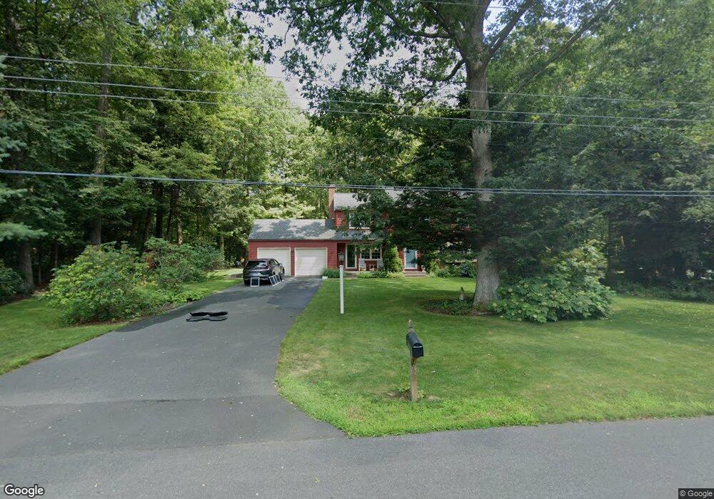
4 Lark Rd Simsbury, CT 06070
Estimated Value: $512,000 - $552,000
4
Beds
3
Baths
1,956
Sq Ft
$274/Sq Ft
Est. Value
About This Home
This home is located at 4 Lark Rd, Simsbury, CT 06070 and is currently estimated at $536,481, approximately $274 per square foot. 4 Lark Rd is a home located in Hartford County with nearby schools including Squadron Line School, Henry James Memorial School, and Simsbury High School.
Ownership History
Date
Name
Owned For
Owner Type
Purchase Details
Closed on
Sep 22, 1995
Sold by
Regan John and Regan Nora
Bought by
Dickinson Kurt and Dickinson Agnes
Current Estimated Value
Home Financials for this Owner
Home Financials are based on the most recent Mortgage that was taken out on this home.
Original Mortgage
$173,350
Interest Rate
7.81%
Mortgage Type
Unknown
Create a Home Valuation Report for This Property
The Home Valuation Report is an in-depth analysis detailing your home's value as well as a comparison with similar homes in the area
Home Values in the Area
Average Home Value in this Area
Purchase History
| Date | Buyer | Sale Price | Title Company |
|---|---|---|---|
| Dickinson Kurt | $182,500 | -- |
Source: Public Records
Mortgage History
| Date | Status | Borrower | Loan Amount |
|---|---|---|---|
| Closed | Dickinson Kurt | $75,000 | |
| Closed | Dickinson Kurt | $53,000 | |
| Closed | Dickinson Kurt | $173,350 |
Source: Public Records
Tax History
| Year | Tax Paid | Tax Assessment Tax Assessment Total Assessment is a certain percentage of the fair market value that is determined by local assessors to be the total taxable value of land and additions on the property. | Land | Improvement |
|---|---|---|---|---|
| 2025 | $8,659 | $253,470 | $80,640 | $172,830 |
| 2024 | $8,443 | $253,470 | $80,640 | $172,830 |
| 2023 | $8,065 | $253,470 | $80,640 | $172,830 |
| 2022 | $7,879 | $203,950 | $87,620 | $116,330 |
| 2021 | $7,879 | $203,950 | $87,620 | $116,330 |
| 2020 | $7,565 | $203,950 | $87,620 | $116,330 |
| 2019 | $7,611 | $203,950 | $87,620 | $116,330 |
| 2018 | $7,666 | $203,950 | $87,620 | $116,330 |
| 2017 | $7,150 | $184,470 | $85,380 | $99,090 |
| 2016 | $6,848 | $184,470 | $85,380 | $99,090 |
| 2015 | $6,818 | $183,680 | $85,370 | $98,310 |
| 2014 | $6,822 | $183,680 | $85,370 | $98,310 |
Source: Public Records
Map
Nearby Homes
- 5 Sanctuary Dr
- 324 Old Farms Rd
- 12 The Glade
- 36 Clifdon Dr
- 92 Laurel Ln
- 3 Lenora Dr
- 117 N Saddle Ridge
- 125 Firetown Rd
- 7 Grimes Brook Place
- 121 Hoskins Rd
- 10 Litchfield Dr
- 16 Stonewall Dr
- 89 Hop Brook Rd
- 16 Richard Rd
- 7 School House Ln
- 14 Richard Rd
- 14 North Dr
- 15 Winhart Dr
- 158 Westledge Rd
- 170 Simsbury Rd
Your Personal Tour Guide
Ask me questions while you tour the home.