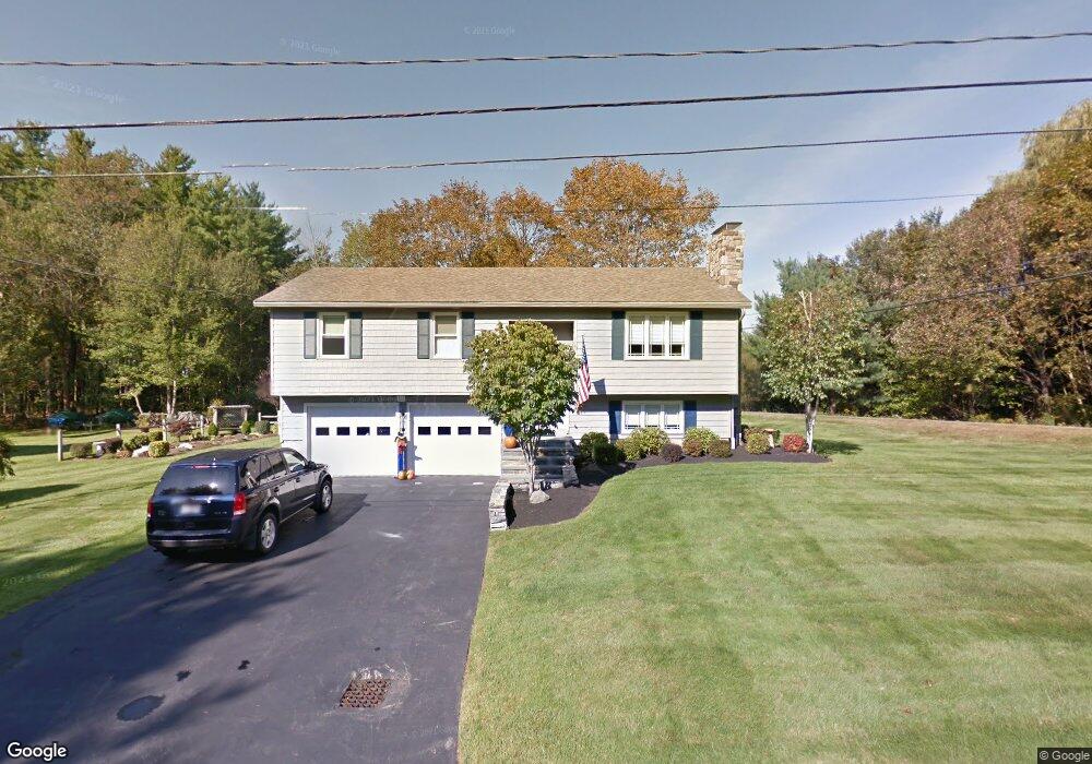
4 Laurel Ln Eliot, ME 03903
South Eliot NeighborhoodEstimated Value: $523,000 - $617,000
3
Beds
2
Baths
1,366
Sq Ft
$423/Sq Ft
Est. Value
About This Home
This home is located at 4 Laurel Ln, Eliot, ME 03903 and is currently estimated at $578,082, approximately $423 per square foot. 4 Laurel Ln is a home located in York County with nearby schools including Marshwood High School and Seacoast Waldorf School.
Create a Home Valuation Report for This Property
The Home Valuation Report is an in-depth analysis detailing your home's value as well as a comparison with similar homes in the area
Home Values in the Area
Average Home Value in this Area
Tax History
| Year | Tax Paid | Tax Assessment Tax Assessment Total Assessment is a certain percentage of the fair market value that is determined by local assessors to be the total taxable value of land and additions on the property. | Land | Improvement |
|---|---|---|---|---|
| 2025 | $5,047 | $448,600 | $196,800 | $251,800 |
| 2024 | $5,097 | $430,100 | $178,300 | $251,800 |
| 2023 | $4,898 | $399,800 | $169,100 | $230,700 |
| 2022 | $4,709 | $389,200 | $169,100 | $220,100 |
| 2021 | $5,087 | $376,800 | $161,400 | $215,400 |
| 2020 | $4,763 | $324,000 | $163,400 | $160,600 |
| 2019 | $4,763 | $324,000 | $163,400 | $160,600 |
| 2018 | $4,763 | $324,000 | $163,400 | $160,600 |
| 2017 | $4,633 | $324,000 | $163,400 | $160,600 |
| 2016 | $4,552 | $324,000 | $163,400 | $160,600 |
| 2015 | $4,536 | $324,000 | $163,400 | $160,600 |
| 2014 | $4,314 | $312,600 | $163,400 | $149,200 |
| 2013 | $4,117 | $312,600 | $163,400 | $149,200 |
Source: Public Records
Map
Nearby Homes
- 222 River Rd
- 60 Pine Hill Rd S Unit 315
- 60 Pine Hill Rd S Unit 318
- 0 Franks Fort Island Unit 1650383
- 33 Little Bay Dr
- 18 Little Bay Dr
- 19 Cote Dr
- 71 Shipwright Way
- SLIP 13 Little Bay Marina
- SLIP 28 Little Bay Marina
- 0 Cote Dr Unit 55B
- 28 Little Bay Dr
- 1232 State Rd
- 348 Dover Point Rd
- 354 Dover Point Rd
- Homesite 6-5 Beane Ln
- 3 Blue Heron Dr
- 21 Clearwater Dr
- 18 Shipping Ln
- 2 Blue Heron Dr
Your Personal Tour Guide
Ask me questions while you tour the home.