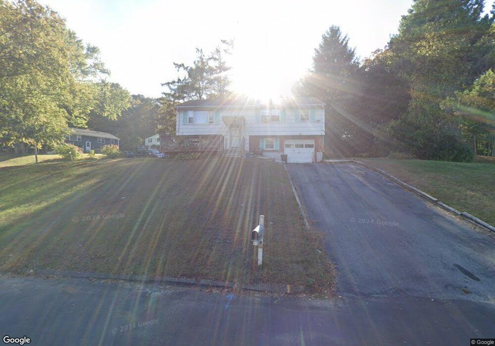
4 Libby Dr Uncasville, CT 06382
Estimated Value: $308,233 - $382,000
3
Beds
2
Baths
1,200
Sq Ft
$288/Sq Ft
Est. Value
About This Home
This home is located at 4 Libby Dr, Uncasville, CT 06382 and is currently estimated at $345,058, approximately $287 per square foot. 4 Libby Dr is a home located in New London County with nearby schools including Leonard J. Tyl Middle School, Montville High School, and Mayflower Montessori School.
Ownership History
Date
Name
Owned For
Owner Type
Purchase Details
Closed on
Jun 22, 2010
Sold by
Bauer Edward Anthony and Bauer Kathleen S
Bought by
Liang Zi and Yao Helen
Current Estimated Value
Home Financials for this Owner
Home Financials are based on the most recent Mortgage that was taken out on this home.
Original Mortgage
$117,400
Interest Rate
5.03%
Create a Home Valuation Report for This Property
The Home Valuation Report is an in-depth analysis detailing your home's value as well as a comparison with similar homes in the area
Home Values in the Area
Average Home Value in this Area
Purchase History
| Date | Buyer | Sale Price | Title Company |
|---|---|---|---|
| Liang Zi | $148,000 | -- | |
| Liang Zi | $148,000 | -- |
Source: Public Records
Mortgage History
| Date | Status | Borrower | Loan Amount |
|---|---|---|---|
| Closed | Liang Zi | $117,400 |
Source: Public Records
Tax History
| Year | Tax Paid | Tax Assessment Tax Assessment Total Assessment is a certain percentage of the fair market value that is determined by local assessors to be the total taxable value of land and additions on the property. | Land | Improvement |
|---|---|---|---|---|
| 2025 | $3,813 | $132,090 | $31,220 | $100,870 |
| 2024 | $3,668 | $132,090 | $31,220 | $100,870 |
| 2023 | $3,668 | $132,090 | $31,220 | $100,870 |
| 2022 | $3,528 | $132,090 | $31,220 | $100,870 |
| 2021 | $3,505 | $110,400 | $29,350 | $81,050 |
| 2020 | $3,575 | $110,400 | $29,350 | $81,050 |
| 2019 | $3,589 | $110,400 | $29,350 | $81,050 |
| 2018 | $3,503 | $110,400 | $29,350 | $81,050 |
| 2017 | $3,500 | $110,400 | $29,350 | $81,050 |
| 2016 | $3,532 | $115,390 | $36,600 | $78,790 |
| 2015 | $3,532 | $115,390 | $36,600 | $78,790 |
| 2014 | $3,389 | $115,390 | $36,600 | $78,790 |
Source: Public Records
Map
Nearby Homes
- 32 Cedar Ln
- 15 Pollys Ln
- 61 Fort Shantok Rd
- 87 Fort Shantok Rd
- 2122 Old Pond Ln
- 527 W Thames St Unit 9
- 167 Fitch Hill Rd
- 44 Great Plain Rd
- 66 Lucas Park Rd
- 4 Tra Mart Dr
- 27 Linda Ave
- 243 Leffingwell Rd
- 9 Bushnell Place
- 51 Dydo Dr
- 150 Sheraton Ln Unit 150
- 547 Old Laurel Hill Rd
- 54 Briar Ln Unit 54
- 123 Sheraton Ln Unit 123
- 31 Woodland Dr
- 107 Woodland Dr Unit B
- 135 Holly Hill Dr
- 8 Libby Dr
- 3 Libby Dr
- 132 Holly Hill Dr
- 128 Holly Hill Dr
- 121 Holly Hill Dr
- 7 Libby Dr
- 136 Holly Hill Dr
- 88 Richard Brown Dr
- 92 Richard Brown Dr
- 4 Scenic Dr
- 8 Scenic Dr
- 86 Richard Brown Dr
- 120 Holly Hill Dr
- 11 Libby Dr
- 12 Scenic Dr
- 27 Crestview Dr
- 94 Richard Brown Dr
- 15 Crestview Dr
- 16 Scenic Dr
Your Personal Tour Guide
Ask me questions while you tour the home.