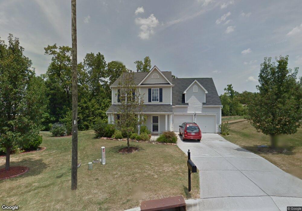
4 Linkside Ct Durham, NC 27703
Eastern Durham NeighborhoodEstimated Value: $394,000 - $396,083
3
Beds
3
Baths
2,011
Sq Ft
$196/Sq Ft
Est. Value
About This Home
This home is located at 4 Linkside Ct, Durham, NC 27703 and is currently estimated at $394,521, approximately $196 per square foot. 4 Linkside Ct is a home located in Durham County with nearby schools including Oak Grove Elementary, John W Neal Middle School, and Southern School of Energy & Sustainability.
Ownership History
Date
Name
Owned For
Owner Type
Purchase Details
Closed on
Nov 25, 2003
Sold by
D R Horton Inc Torrey
Bought by
Lewis James G and Timblin Dianne E
Current Estimated Value
Home Financials for this Owner
Home Financials are based on the most recent Mortgage that was taken out on this home.
Original Mortgage
$26,257
Interest Rate
6.04%
Mortgage Type
Credit Line Revolving
Create a Home Valuation Report for This Property
The Home Valuation Report is an in-depth analysis detailing your home's value as well as a comparison with similar homes in the area
Home Values in the Area
Average Home Value in this Area
Purchase History
| Date | Buyer | Sale Price | Title Company |
|---|---|---|---|
| Lewis James G | $175,500 | -- |
Source: Public Records
Mortgage History
| Date | Status | Borrower | Loan Amount |
|---|---|---|---|
| Closed | Lewis James G | $26,257 | |
| Open | Lewis James G | $140,037 |
Source: Public Records
Tax History
| Year | Tax Paid | Tax Assessment Tax Assessment Total Assessment is a certain percentage of the fair market value that is determined by local assessors to be the total taxable value of land and additions on the property. | Land | Improvement |
|---|---|---|---|---|
| 2025 | $4,037 | $407,211 | $88,500 | $318,711 |
| 2024 | $3,135 | $224,744 | $44,212 | $180,532 |
| 2023 | $2,944 | $224,744 | $44,212 | $180,532 |
| 2022 | $2,877 | $224,744 | $44,212 | $180,532 |
| 2021 | $2,863 | $224,744 | $44,212 | $180,532 |
| 2020 | $2,796 | $224,744 | $44,212 | $180,532 |
| 2019 | $2,796 | $224,744 | $44,212 | $180,532 |
| 2018 | $2,505 | $184,662 | $41,265 | $143,397 |
| 2017 | $2,486 | $184,662 | $41,265 | $143,397 |
| 2016 | $2,403 | $184,662 | $41,265 | $143,397 |
| 2015 | $2,822 | $203,874 | $32,942 | $170,932 |
| 2014 | $2,822 | $203,874 | $32,942 | $170,932 |
Source: Public Records
Map
Nearby Homes
- 217 Morning View Ct
- 6 Cayman Ct
- 304 Stallings Rd
- 210 Stallings Rd
- 107 Crosswood Dr
- 2800-2809 Napoli Dr
- 201 Lanier Valley Dr
- 5002 Wake Forest Hwy
- 510 Oak Grove Pkwy
- 15 N Indiancreek Place
- 110 Kindlewood Dr
- 403 Ravenstone Ln
- 101 Coralbell Ct
- 4505 Tyne Dr
- 5409 Hadrian Dr
- 3 Chartwell Ct
- 5706 Wrenwood Ct Unit Lt 116
- 505 Nichols Farm Dr
- 2024 Bunchberry Ln
- 1057 Arbor Edge Ln
- 6 Linkside Ct
- 2 Linkside Ct
- 203 Morning View Ct
- 205 Morning View Ct
- 205 Morning View Ct
- 5 Linkside Ct
- 3 Linkside Ct
- 1 Linkside Ct
- 1 Linkside To Be Added
- 1 Linkside Ct. To Be Added
- 202 Morning View Ct
- 207 Morning View Ct
- 202 Morning View Ct
- 108 Morning View Ct
- 204 Morning View Ct
- 105 Morning View Ct
- 209 Morning View Ct
- 209 Morning View Ct
- 106 Morning View Ct
- 206 Morning View Ct
Your Personal Tour Guide
Ask me questions while you tour the home.