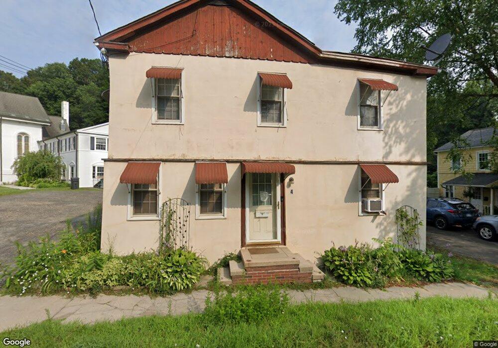
4 Maple Ave Bethel, CT 06801
Estimated Value: $344,000 - $477,000
3
Beds
2
Baths
1,508
Sq Ft
$269/Sq Ft
Est. Value
About This Home
This home is located at 4 Maple Ave, Bethel, CT 06801 and is currently estimated at $405,392, approximately $268 per square foot. 4 Maple Ave is a home located in Fairfield County with nearby schools including R.M.T. Johnson School, Bethel Middle School, and Bethel High School.
Ownership History
Date
Name
Owned For
Owner Type
Purchase Details
Closed on
Aug 27, 2004
Sold by
Paulsen Matthew
Bought by
Becon Clocre
Current Estimated Value
Home Financials for this Owner
Home Financials are based on the most recent Mortgage that was taken out on this home.
Original Mortgage
$208,000
Interest Rate
6.02%
Purchase Details
Closed on
Sep 30, 1996
Sold by
Rylski Pamela
Bought by
Paulsen Matthew
Home Financials for this Owner
Home Financials are based on the most recent Mortgage that was taken out on this home.
Original Mortgage
$99,700
Interest Rate
7.83%
Mortgage Type
Unknown
Create a Home Valuation Report for This Property
The Home Valuation Report is an in-depth analysis detailing your home's value as well as a comparison with similar homes in the area
Home Values in the Area
Average Home Value in this Area
Purchase History
| Date | Buyer | Sale Price | Title Company |
|---|---|---|---|
| Becon Clocre | $260,000 | -- | |
| Paulsen Matthew | $105,000 | -- |
Source: Public Records
Mortgage History
| Date | Status | Borrower | Loan Amount |
|---|---|---|---|
| Open | Paulsen Matthew | $256,000 | |
| Closed | Paulsen Matthew | $208,000 | |
| Previous Owner | Paulsen Matthew | $99,700 |
Source: Public Records
Tax History
| Year | Tax Paid | Tax Assessment Tax Assessment Total Assessment is a certain percentage of the fair market value that is determined by local assessors to be the total taxable value of land and additions on the property. | Land | Improvement |
|---|---|---|---|---|
| 2025 | $5,603 | $184,240 | $59,780 | $124,460 |
| 2024 | $5,374 | $184,240 | $59,780 | $124,460 |
| 2023 | $5,238 | $184,240 | $59,780 | $124,460 |
| 2022 | $4,448 | $128,590 | $59,780 | $68,810 |
| 2021 | $4,405 | $128,590 | $59,780 | $68,810 |
| 2020 | $4,339 | $128,590 | $59,780 | $68,810 |
| 2019 | $4,296 | $128,590 | $59,780 | $68,810 |
| 2018 | $4,227 | $128,590 | $59,780 | $68,810 |
| 2017 | $4,088 | $124,340 | $49,160 | $75,180 |
| 2016 | $4,000 | $124,340 | $49,160 | $75,180 |
| 2015 | $4,001 | $124,340 | $49,160 | $75,180 |
| 2014 | $3,993 | $124,340 | $49,160 | $75,180 |
Source: Public Records
Map
Nearby Homes
- 8B Kayview Ave
- 28 Greenwood Ave
- 48 & 50 Nashville Rd
- 11 Highland Ave
- 14 Idlewood Unit 14
- 17 Grandview Ave
- 4 Governors Ln
- 4 Midway Dr
- 28 Eagle Rock Hill
- 32 Deer Run
- 3 Bailey Blvd Unit 3
- 81 Deer Run Unit 81
- 76 Grassy Plain St
- 14 Winthrop Rd
- 53 Grassy Plain St Unit 5
- 136 Hoyts Hill
- 12 Briar Ridge Dr Unit 12
- 97 Nashville Rd
- 3 Whitlock Ave
- 13 Fairchild Dr
Your Personal Tour Guide
Ask me questions while you tour the home.