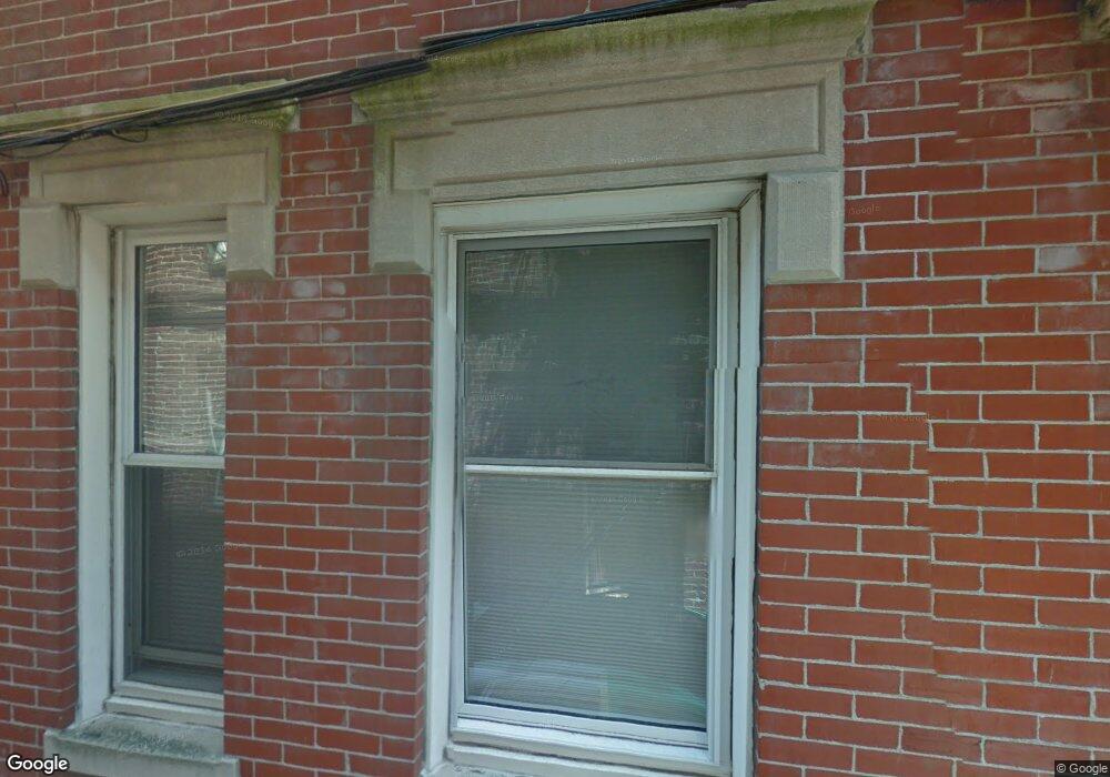
4 Powers Ct Boston, MA 02109
North End NeighborhoodEstimated Value: $1,980,000
5
Beds
6
Baths
2,417
Sq Ft
$819/Sq Ft
Est. Value
About This Home
High end penthouse in a three family building. Boasting 5 bedrooms and four bathrooms this home is ready for its next occupants.
Ownership History
Date
Name
Owned For
Owner Type
Purchase Details
Closed on
Mar 3, 1993
Sold by
Imbriano Orlando
Bought by
Adams Richard
Current Estimated Value
Create a Home Valuation Report for This Property
The Home Valuation Report is an in-depth analysis detailing your home's value as well as a comparison with similar homes in the area
Home Values in the Area
Average Home Value in this Area
Purchase History
| Date | Buyer | Sale Price | Title Company |
|---|---|---|---|
| Adams Richard | $19,125 | -- | |
| Adams Richard | $19,125 | -- | |
| Adams Richard | $19,125 | -- | |
| Adams Richard | $19,125 | -- | |
| Adams Richard | $38,250 | -- | |
| Adams Richard | $19,125 | -- | |
| Adams Richard | $19,125 | -- |
Source: Public Records
Mortgage History
| Date | Status | Borrower | Loan Amount |
|---|---|---|---|
| Open | Adams Richard | $583,000 | |
| Closed | Adams Richard | $583,000 |
Source: Public Records
Property History
| Date | Event | Price | List to Sale | Price per Sq Ft |
|---|---|---|---|---|
| 10/08/2024 10/08/24 | Off Market | $6,000 | -- | -- |
| 09/15/2024 09/15/24 | For Rent | $6,000 | -- | -- |
Tax History
| Year | Tax Paid | Tax Assessment Tax Assessment Total Assessment is a certain percentage of the fair market value that is determined by local assessors to be the total taxable value of land and additions on the property. | Land | Improvement |
|---|---|---|---|---|
| 2025 | $23,497 | $2,029,100 | $495,300 | $1,533,800 |
| 2024 | $21,408 | $1,964,000 | $383,500 | $1,580,500 |
| 2023 | $21,093 | $1,964,000 | $383,500 | $1,580,500 |
| 2022 | $19,785 | $1,818,500 | $355,100 | $1,463,400 |
| 2021 | $15,523 | $1,454,800 | $284,100 | $1,170,700 |
| 2020 | $17,701 | $1,676,200 | $359,700 | $1,316,500 |
| 2019 | $13,873 | $1,316,196 | $234,780 | $1,081,416 |
| 2018 | $13,008 | $1,241,200 | $279,500 | $961,700 |
| 2017 | $12,044 | $1,137,300 | $279,500 | $857,800 |
| 2016 | $11,707 | $1,064,300 | $279,500 | $784,800 |
| 2015 | $11,630 | $960,400 | $320,200 | $640,200 |
| 2014 | $10,830 | $860,900 | $320,200 | $540,700 |
Source: Public Records
Map
Nearby Homes
- 350 North St Unit 200
- 0 Fairfield Unit 71812438
- 357 Commercial St Unit 220
- 357 Commercial St Unit 720
- 431-439 Hanover St
- 34 Clark St Unit 2
- 300 Commercial St Unit 507
- 300 Commercial St Unit 709
- 5 Holden Ct Unit 3
- 1 Belgravia Place Unit 2
- 7 Union Wharf
- 343 Commercial St Unit 112
- 2 Battery Wharf Unit 2508
- 50 Battery St Unit TH103/104
- 50 Fleet St Unit 201
- 4 Battery Wharf Unit 4308
- 4 Battery Wharf Unit PH 4-6
- 4 Battery Wharf Unit 4302
- 4 Battery Wharf Unit 4301
- 7 Unity St Unit 3
- 4 Powers Ct
- 4 Powers Ct Unit 1
- 4 Powers Ct Unit C
- 4 Powers Ct Unit 2
- 4 Powers Ct Unit B
- 4 Powers Ct Unit A
- 5 Powers Ct
- 22 Hanover Ave Unit 22A
- 22 Hanover Ave Unit Hanover St 8
- 22 Hanover Ave Unit 3
- 22 Hanover Ave
- 2 Powers Ct Unit 3
- 2 Powers Ct Unit 1R
- 2 Powers Ct
- 2 Powers Ct Unit 2
- 20 Hanover Ave
- 20 Hanover Ave Unit 4
- 20 Hanover Ave Unit 1
- 20 Hanover Ave Unit 2
- 20 Hanover Ave Unit top floor
Your Personal Tour Guide
Ask me questions while you tour the home.