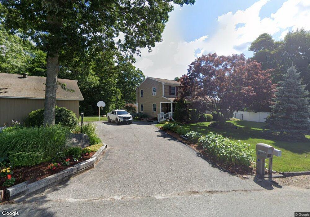
4 Rosepoint Ave West Wareham, MA 02576
Estimated Value: $543,849 - $650,000
4
Beds
2
Baths
1,814
Sq Ft
$332/Sq Ft
Est. Value
About This Home
This home is located at 4 Rosepoint Ave, West Wareham, MA 02576 and is currently estimated at $602,962, approximately $332 per square foot. 4 Rosepoint Ave is a home located in Plymouth County.
Create a Home Valuation Report for This Property
The Home Valuation Report is an in-depth analysis detailing your home's value as well as a comparison with similar homes in the area
Tax History
| Year | Tax Paid | Tax Assessment Tax Assessment Total Assessment is a certain percentage of the fair market value that is determined by local assessors to be the total taxable value of land and additions on the property. | Land | Improvement |
|---|---|---|---|---|
| 2025 | $5,170 | $496,200 | $106,700 | $389,500 |
| 2024 | $5,167 | $460,100 | $85,400 | $374,700 |
| 2023 | $4,276 | $405,900 | $77,800 | $328,100 |
| 2022 | $4,276 | $324,400 | $77,800 | $246,600 |
| 2021 | $4,214 | $313,300 | $77,800 | $235,500 |
| 2020 | $4,007 | $302,200 | $77,800 | $224,400 |
| 2019 | $3,809 | $286,600 | $79,700 | $206,900 |
| 2018 | $3,785 | $277,700 | $79,700 | $198,000 |
| 2017 | $3,627 | $269,700 | $79,700 | $190,000 |
| 2016 | $3,533 | $261,100 | $79,700 | $181,400 |
| 2015 | $3,413 | $261,100 | $79,700 | $181,400 |
| 2014 | $3,071 | $239,000 | $74,700 | $164,300 |
Source: Public Records
Map
Nearby Homes
- 21 Bisbee St
- 34 Pine Hill Ln
- 14 Briarwood Dr
- 12 Taft St
- 37 Lincoln Hwy
- 15 14th Ave
- 929 Point Rd
- 233 Marion Rd
- 0 Cromesett Rd (Off) Unit 73385395
- 119 County Rd
- 127 County Rd
- 3 Cranberry Grove Way Unit C
- 17 Lynne Rd
- 4 Mather Dr
- 245 Wareham Rd
- 3 Lynne Rd
- 6 Bourne Terrace
- 4 Blackhall Ct
- 21 Bayview St
- 10 Barnes St
Your Personal Tour Guide
Ask me questions while you tour the home.