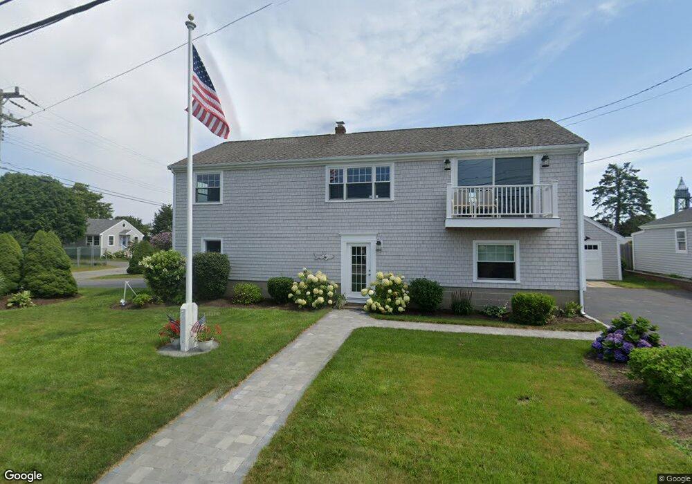
4 Tower Ln Bourne, MA 2532
Buzzards Bay NeighborhoodEstimated Value: $572,000 - $636,000
3
Beds
2
Baths
1,786
Sq Ft
$341/Sq Ft
Est. Value
About This Home
This home is located at 4 Tower Ln, Bourne, MA 2532 and is currently estimated at $609,908, approximately $341 per square foot. 4 Tower Ln is a home located in Barnstable County with nearby schools including Bourne High School and St Margaret Regional School.
Ownership History
Date
Name
Owned For
Owner Type
Purchase Details
Closed on
Dec 29, 2017
Sold by
Tower Lane Rt and Dennison
Bought by
Mccaffrey Matthew and Mccaffrey Lee
Current Estimated Value
Home Financials for this Owner
Home Financials are based on the most recent Mortgage that was taken out on this home.
Original Mortgage
$216,000
Outstanding Balance
$179,321
Interest Rate
3.95%
Mortgage Type
New Conventional
Estimated Equity
$430,587
Create a Home Valuation Report for This Property
The Home Valuation Report is an in-depth analysis detailing your home's value as well as a comparison with similar homes in the area
Home Values in the Area
Average Home Value in this Area
Purchase History
| Date | Buyer | Sale Price | Title Company |
|---|---|---|---|
| Mccaffrey Matthew | $270,000 | -- | |
| Mccaffrey Matthew J | $270,000 | -- |
Source: Public Records
Mortgage History
| Date | Status | Borrower | Loan Amount |
|---|---|---|---|
| Open | Mccaffrey Matthew J | $216,000 | |
| Closed | Mccaffrey Matthew J | $216,000 |
Source: Public Records
Tax History
| Year | Tax Paid | Tax Assessment Tax Assessment Total Assessment is a certain percentage of the fair market value that is determined by local assessors to be the total taxable value of land and additions on the property. | Land | Improvement |
|---|---|---|---|---|
| 2025 | $4,110 | $526,200 | $190,000 | $336,200 |
| 2024 | $4,019 | $501,100 | $180,900 | $320,200 |
| 2023 | $4,099 | $465,300 | $181,900 | $283,400 |
| 2022 | $3,633 | $360,100 | $135,200 | $224,900 |
| 2021 | $2,086 | $305,500 | $123,100 | $182,400 |
| 2020 | $1,988 | $296,300 | $121,900 | $174,400 |
| 2019 | $2,771 | $263,700 | $121,900 | $141,800 |
| 2018 | $2,716 | $257,700 | $116,100 | $141,600 |
| 2017 | $2,638 | $256,100 | $115,000 | $141,100 |
| 2016 | $2,390 | $235,200 | $115,000 | $120,200 |
| 2015 | $2,368 | $235,200 | $115,000 | $120,200 |
Source: Public Records
Map
Nearby Homes
- 60 Bourne Neck Dr
- 34 Washington Ave
- 40-A Lafayette Ave
- 4 Van Bummel Rd
- 151 - 153 Main St
- 56 Rip Van Winkle Way
- 0 Holt Rd
- 8 Pine Tree Dr
- 35 Benedict Rd
- 46 Holt Rd Unit A
- 22 Wallace Point
- 3 Fairway Dr Unit F
- 20 Alderberry Rd
- 14 Quamhassett Rd
- 5 Zoli Ln
- 92 Choctaw Dr
- 22 Bay View Ave
- 3132 Cranberry Hwy Unit 59
- 12 Mason Street Extension
- 6 Wall St
Your Personal Tour Guide
Ask me questions while you tour the home.