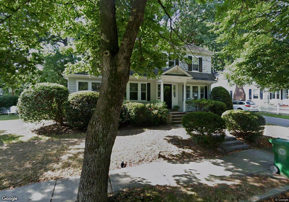
4 Ware Rd Auburndale, MA 02466
Auburndale NeighborhoodEstimated Value: $1,340,000 - $1,474,000
About This Home
This home is located at 4 Ware Rd, Auburndale, MA 02466 and is currently estimated at $1,393,083, approximately $786 per square foot. 4 Ware Rd is a home located in Middlesex County with nearby schools including C.C. Burr, F.A. Day Middle School, and Newton North High School.
Ownership History
We collect this data history from publicly available records. To have your information removed, we recommend requesting removal directly through your county’s website.
Purchase Details
Purchase Details
Home Values in the Area
Average Home Value in this Area
Purchase History
We collect this data history from publicly available records. To have your information removed, we recommend requesting removal directly through your county’s website.
| Date | Buyer | Sale Price | Title Company |
|---|---|---|---|
| $556,000 | -- | ||
| $275,500 | -- |
Mortgage History
We collect this data history from publicly available records. To have your information removed, we recommend requesting removal directly through your county’s website.
| Date | Status | Borrower | Loan Amount |
|---|---|---|---|
| Closed | $264,000 |
Tax History
We collect this data history from publicly available records. To have your information removed, we recommend requesting removal directly through your county’s website.
| Year | Tax Paid | Tax Assessment Tax Assessment Total Assessment is a certain percentage of the fair market value that is determined by local assessors to be the total taxable value of land and additions on the property. | Land | Improvement |
|---|---|---|---|---|
| 2025 | $10,761 | $1,098,100 | $856,800 | $241,300 |
| 2024 | $10,405 | $1,066,100 | $831,800 | $234,300 |
| 2023 | $9,913 | $973,800 | $628,900 | $344,900 |
| 2022 | $9,486 | $901,700 | $582,300 | $319,400 |
| 2021 | $9,154 | $850,700 | $549,300 | $301,400 |
| 2020 | $8,881 | $850,700 | $549,300 | $301,400 |
| 2019 | $8,631 | $825,900 | $533,300 | $292,600 |
| 2018 | $8,157 | $753,900 | $480,800 | $273,100 |
| 2017 | $7,909 | $711,200 | $453,600 | $257,600 |
| 2016 | $7,564 | $664,700 | $423,900 | $240,800 |
| 2015 | $7,212 | $621,200 | $396,200 | $225,000 |
Map
- 16 Ware Rd
- 349 Auburndale Ave
- 283 Melrose St
- 2031 Commonwealth Ave
- 288 Auburndale Ave Unit B
- 289 Auburndale Ave Unit 291
- 285 Lexington St
- 19 Rockwood Terrace
- 2239 Commonwealth Ave Unit 2239
- 107 Rowe St
- 15 Woodbine Terrace
- 9 Johnson Place Unit 9
- 1935 Commonwealth Ave Unit 1935
- 284 Webster St
- 41 Murray Rd
- 123 Auburn St Unit 1
- 20-22 Greenough St
- 63 Charles St
- 73 Auburn St Unit 75
- 126 Charles St (Aub)
- 210 Melrose St
- 224 Melrose St
- 206 Melrose St
- 230 Melrose St
- 10 Elberta Terrace
- 215 Melrose St
- 383 Lexington St
- 211 Melrose St
- 377 Lexington St
- 377 Lexington St Unit 2
- 232 Melrose St
- 393 Lexington St
- 393 Lexington St
- 393 Lexington St Unit 2
- 223 Melrose St
- 196 Melrose St
- 373 Lexington St
- 373 Lexington St Unit 2
- 227 Melrose St
- 369 Lexington St Unit 371
Ask me questions while you tour the home.