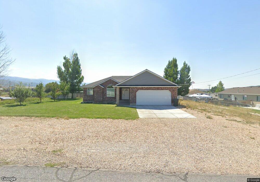
40 E 500 N Fairview, UT 84629
Estimated Value: $429,000 - $522,000
5
Beds
3
Baths
2,982
Sq Ft
$159/Sq Ft
Est. Value
About This Home
This home is located at 40 E 500 N, Fairview, UT 84629 and is currently estimated at $475,377, approximately $159 per square foot. 40 E 500 N is a home located in Sanpete County with nearby schools including North Sanpete High School.
Ownership History
Date
Name
Owned For
Owner Type
Purchase Details
Closed on
Feb 5, 2016
Sold by
Church Kade W and Church Ciara
Bought by
Larson Devron
Current Estimated Value
Home Financials for this Owner
Home Financials are based on the most recent Mortgage that was taken out on this home.
Original Mortgage
$225,192
Outstanding Balance
$178,259
Interest Rate
3.98%
Mortgage Type
New Conventional
Estimated Equity
$297,118
Purchase Details
Closed on
Nov 7, 2012
Sold by
Smith Klint M
Bought by
Church Kade W and Church Ciara
Purchase Details
Closed on
Apr 23, 2007
Sold by
Smith Klint
Bought by
Smith Klint M
Purchase Details
Closed on
May 16, 2005
Sold by
Hamilton Lawrence Larkin
Bought by
Smith Klint
Create a Home Valuation Report for This Property
The Home Valuation Report is an in-depth analysis detailing your home's value as well as a comparison with similar homes in the area
Purchase History
| Date | Buyer | Sale Price | Title Company |
|---|---|---|---|
| Larson Devron | -- | Central Utah Title | |
| Church Kade W | -- | -- | |
| Smith Klint M | -- | -- | |
| Smith Klint | -- | -- |
Source: Public Records
Mortgage History
| Date | Status | Borrower | Loan Amount |
|---|---|---|---|
| Open | Larson Devron | $225,192 |
Source: Public Records
Tax History
| Year | Tax Paid | Tax Assessment Tax Assessment Total Assessment is a certain percentage of the fair market value that is determined by local assessors to be the total taxable value of land and additions on the property. | Land | Improvement |
|---|---|---|---|---|
| 2025 | $2,193 | $268,133 | $0 | $0 |
| 2024 | $2,235 | $257,320 | $0 | $0 |
| 2023 | $2,176 | $241,615 | $0 | $0 |
| 2022 | $1,340 | $132,993 | $0 | $0 |
| 2021 | $1,727 | $155,471 | $0 | $0 |
| 2020 | $1,647 | $137,654 | $0 | $0 |
| 2019 | $1,609 | $127,739 | $0 | $0 |
| 2018 | $1,462 | $201,958 | $24,871 | $177,087 |
| 2017 | $1,346 | $106,439 | $0 | $0 |
| 2016 | $1,274 | $100,779 | $0 | $0 |
| 2015 | $1,278 | $99,526 | $0 | $0 |
| 2014 | $1,271 | $99,526 | $0 | $0 |
| 2013 | $1,236 | $99,526 | $0 | $0 |
Source: Public Records
Map
Nearby Homes
- 65 E 500 N
- 482 N 200 W
- 576 N 200 W
- 0 Andy Cox Ln
- TBD N 10990 E
- 0 Skyline Dr Unit 15303573
- 21845 Cemetery Rd
- 11680 E 29130 N
- Tbd
- 11905 E 24560 N
- 30455 N 11000 E
- 160 W 300 S
- 11770 E 24500 N
- 100 Juniper View Dr
- 12185 E 22310 N Unit A-12
- 12100 E 22270 N Unit A60
- M31 Juniper Dr
- 2 Juniper Dr Unit 2
- 7 Juniper Dr Unit 7
- 31 Juniper Dr Unit 31
Your Personal Tour Guide
Ask me questions while you tour the home.