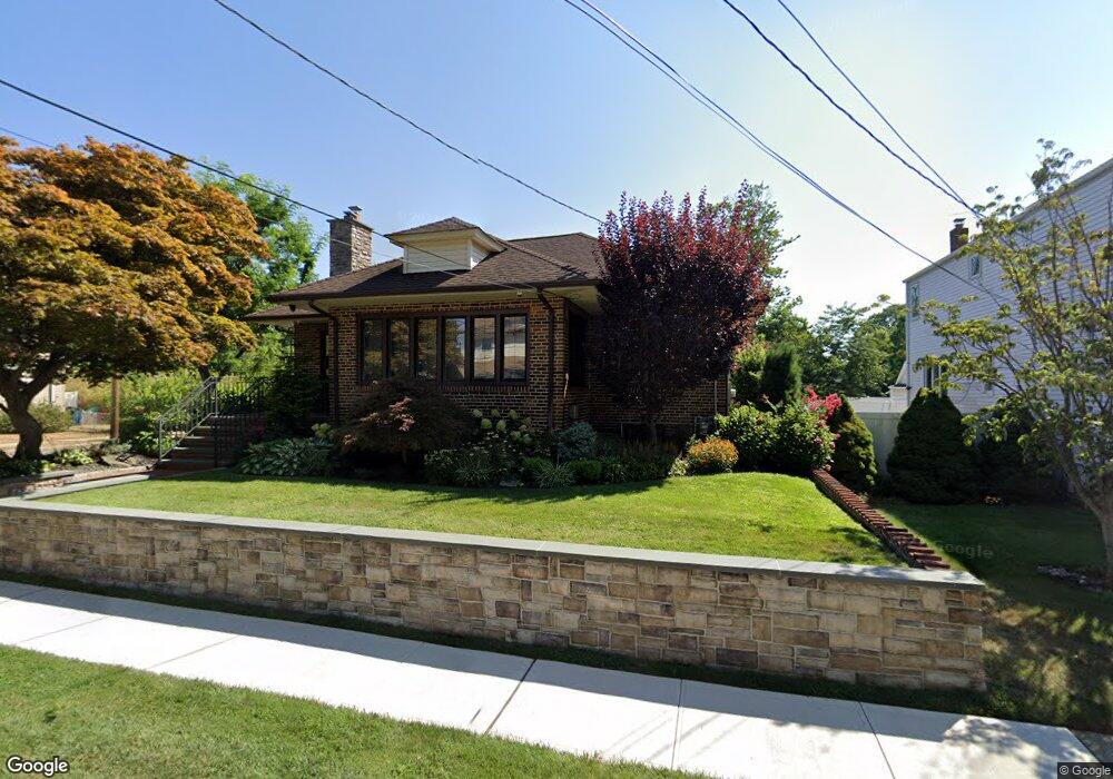
40 Harding Ave Lynbrook, NY 11563
Estimated Value: $635,477 - $775,000
Studio
1
Bath
1,510
Sq Ft
$467/Sq Ft
Est. Value
About This Home
This home is located at 40 Harding Ave, Lynbrook, NY 11563 and is currently estimated at $705,239, approximately $467 per square foot. 40 Harding Ave is a home located in Nassau County with nearby schools including Lynbrook Senior High School, Our Lady Of Peace School, and Valley Stream Christian Academy.
Ownership History
Date
Name
Owned For
Owner Type
Purchase Details
Closed on
Jun 19, 2001
Sold by
Hreachmack Daniel
Bought by
Gaylor Clarence William
Current Estimated Value
Purchase Details
Closed on
Aug 12, 1997
Sold by
Loschiavo Joseph
Bought by
Hreachmack Daniel and Hreachmack Rosemary
Purchase Details
Closed on
Dec 1, 1995
Create a Home Valuation Report for This Property
The Home Valuation Report is an in-depth analysis detailing your home's value as well as a comparison with similar homes in the area
Home Values in the Area
Average Home Value in this Area
Purchase History
| Date | Buyer | Sale Price | Title Company |
|---|---|---|---|
| Gaylor Clarence William | $315,000 | William J Esq Hendrick | |
| Hreachmack Daniel | $209,000 | -- | |
| -- | -- | -- | |
| Loschiavo Joseph | -- | -- |
Source: Public Records
Tax History
| Year | Tax Paid | Tax Assessment Tax Assessment Total Assessment is a certain percentage of the fair market value that is determined by local assessors to be the total taxable value of land and additions on the property. | Land | Improvement |
|---|---|---|---|---|
| 2025 | $7,112 | $451 | $188 | $263 |
| 2024 | $657 | $453 | $189 | $264 |
Source: Public Records
Map
Nearby Homes
- 504 Merrick Rd Unit 4E
- 504 Merrick Rd Unit 2k
- 504 Merrick Rd Unit 3G
- 86 Taft Ave
- 49 Winter St
- 57 Nieman Ave
- 127 Smith St
- 29 Summit Ave
- 34 Reyam Rd
- 14 Hawthorne St
- 12 Roxy Place
- 103 Smith St Unit 1
- 2 Fowler Ave Unit 228
- 181 Walnut St
- 20 Daley Place Unit 128
- 30 Daley Place Unit 136
- 30 Daley Place Unit 247
- 20 Daley Place Unit 225
- 20 Daley Place Unit 113
- 30 Daley Place Unit 146
- 34 Harding Ave
- 28 Sylvester Place
- 44 Harding Ave
- 32 Harding Ave
- 24 Sylvester Place
- 39 Harding Ave
- 1 Clark Ave
- 33 Harding Ave
- 48 Harding Ave
- 43 Harding Ave
- 31 Harding Ave
- 20 Sylvester Place
- 20 Sylvester Place Unit Upper
- 20 Sylvester Place Unit Main
- 47 Harding Ave
- 52 Harding Ave
- 226 Sherman St
- 16 Sylvester Place
- 246 Sherman St
- 26 Taft Ave
Your Personal Tour Guide
Ask me questions while you tour the home.