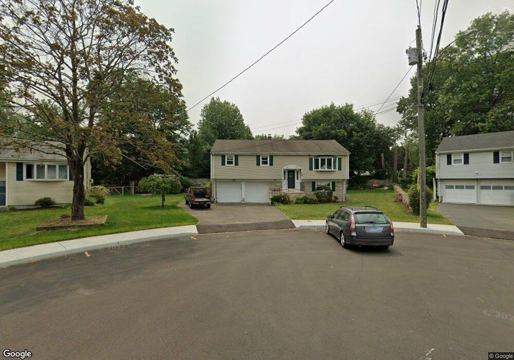
40 Kalan Cir Fairfield, CT 06824
University NeighborhoodEstimated Value: $739,000 - $975,000
3
Beds
3
Baths
1,980
Sq Ft
$425/Sq Ft
Est. Value
About This Home
This home is located at 40 Kalan Cir, Fairfield, CT 06824 and is currently estimated at $840,529, approximately $424 per square foot. 40 Kalan Cir is a home located in Fairfield County with nearby schools including Osborn Hill Elementary School, Fairfield Woods Middle School, and Fairfield Ludlowe High School.
Ownership History
Date
Name
Owned For
Owner Type
Purchase Details
Closed on
Nov 29, 2010
Sold by
Koch Douglas J and Koch Laura R
Bought by
Andren Tr C Bert and Andren Carolyn R
Current Estimated Value
Home Financials for this Owner
Home Financials are based on the most recent Mortgage that was taken out on this home.
Original Mortgage
$139,000
Interest Rate
4.36%
Purchase Details
Closed on
Jun 26, 1992
Sold by
Silverman Betty
Bought by
Koch Douglas J and Koch Laura R
Create a Home Valuation Report for This Property
The Home Valuation Report is an in-depth analysis detailing your home's value as well as a comparison with similar homes in the area
Home Values in the Area
Average Home Value in this Area
Purchase History
We collect this data history from publicly available records. To have your information removed, we recommend requesting removal directly through your county’s website.
| Date | Buyer | Sale Price | Title Company |
|---|---|---|---|
| Andren Tr C Bert | $469,000 | -- | |
| Andren Tr C Bert | $469,000 | -- | |
| Koch Douglas J | $214,000 | -- |
Source: Public Records
Mortgage History
We collect this data history from publicly available records. To have your information removed, we recommend requesting removal directly through your county’s website.
| Date | Status | Borrower | Loan Amount |
|---|---|---|---|
| Previous Owner | Koch Douglas J | $139,000 | |
| Previous Owner | Koch Douglas J | $175,000 | |
| Previous Owner | Koch Douglas J | $26,000 |
Source: Public Records
Tax History
| Year | Tax Paid | Tax Assessment Tax Assessment Total Assessment is a certain percentage of the fair market value that is determined by local assessors to be the total taxable value of land and additions on the property. | Land | Improvement |
|---|---|---|---|---|
| 2025 | $8,971 | $315,980 | $229,530 | $86,450 |
| 2024 | $8,816 | $315,980 | $229,530 | $86,450 |
| 2023 | $8,693 | $315,980 | $229,530 | $86,450 |
| 2022 | $8,607 | $315,980 | $229,530 | $86,450 |
| 2021 | $8,525 | $315,980 | $229,530 | $86,450 |
| 2020 | $7,706 | $287,630 | $188,510 | $99,120 |
| 2019 | $7,706 | $287,630 | $188,510 | $99,120 |
| 2018 | $7,582 | $287,630 | $188,510 | $99,120 |
| 2017 | $7,427 | $287,630 | $188,510 | $99,120 |
| 2016 | $7,320 | $287,630 | $188,510 | $99,120 |
| 2015 | $7,514 | $303,100 | $198,450 | $104,650 |
| 2014 | $7,396 | $303,100 | $198,450 | $104,650 |
Source: Public Records
Map
Nearby Homes
- 43 Green Knolls Ln
- 280 Tuckahoe Ln
- 706 Judd St
- 121 Katona Dr Unit 34, 4A2
- 185 Windsor Rd
- 70 Allen Rd
- 692 Stillson Rd
- 106 Moritz Place
- 203 Burroughs Rd
- 16 Mayflower Cir
- 99 Judd St
- 28 Country Rd
- 52 Robin Ln
- 84 Youngstown Rd
- 276 Pemburn Dr
- 2032 N Benson Rd
- 125 Pepperidge Cir
- 631 Reid St
- 210 Pansy Rd
- 143 Sawyer Rd
Your Personal Tour Guide
Ask me questions while you tour the home.