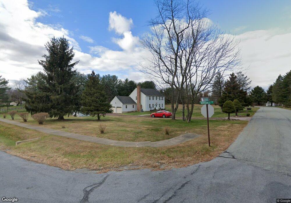
40 Witte Rd Hampton, NJ 08827
Estimated Value: $551,000 - $606,000
Studio
--
Bath
2,048
Sq Ft
$283/Sq Ft
Est. Value
About This Home
This home is located at 40 Witte Rd, Hampton, NJ 08827 and is currently estimated at $579,015, approximately $282 per square foot. 40 Witte Rd is a home located in Hunterdon County with nearby schools including Thomas.B. Conley Elementary School, Ethel Hoppock Middle School, and North Hunterdon High School.
Ownership History
Date
Name
Owned For
Owner Type
Purchase Details
Closed on
Sep 30, 2021
Sold by
Katherine Walsh
Bought by
Walsh Katherine A and Walsh Patricia S
Current Estimated Value
Create a Home Valuation Report for This Property
The Home Valuation Report is an in-depth analysis detailing your home's value as well as a comparison with similar homes in the area
Home Values in the Area
Average Home Value in this Area
Purchase History
| Date | Buyer | Sale Price | Title Company |
|---|---|---|---|
| Walsh Katherine A | -- | Rimmele John F | |
| Walsh Katherine A | -- | Rimmele John F |
Source: Public Records
Tax History
| Year | Tax Paid | Tax Assessment Tax Assessment Total Assessment is a certain percentage of the fair market value that is determined by local assessors to be the total taxable value of land and additions on the property. | Land | Improvement |
|---|---|---|---|---|
| 2024 | $9,151 | $291,800 | $108,200 | $183,600 |
Source: Public Records
Map
Nearby Homes
- 2 Stony Brook Ln
- 205 Hogan Ct
- 1 Dove Hollow Ln
- 11 Devonald Dr
- 434 Charlestown Rd
- 193 Asbury West Portal Rd
- 5 Hillside Terrace
- 215 Asbury Anderson Rd
- 16 Steeplechase Ln
- 20 Riddle Ct
- 40 Blossom Rd
- 49 Valley Rd
- 192 Bryans Rd
- 36 Lower Skillman St
- 505 Lannon Ln
- 218 State Route 31
- 102 Hoffman Ln
- 2015 Spruce Hills Dr Unit 2015
- 182 State Route 31
- 1214 Spruce Hills Dr Unit 1214
- 51 Circle Dr
- 116 Rounseville Rd
- 116 Rounse Ville Rd
- 53 Circle Dr
- 115 Rounseville Rd
- 117 Rounseville Rd
- 45 Witte Rd
- 118 Rounseville Rd
- 43 Witte Rd
- 118 Rounseville Rd
- 108 Rounseville Rd
- 52 Circle Dr
- 119 Rounseville Rd
- 119 Rounseville Rd
- 55 Circle Dr
- 120 Rounseville Rd
- 54 Circle Dr
- 30 Robin Ct
- 31 Robin Ct
- 4 Wyckoff Rd
Your Personal Tour Guide
Ask me questions while you tour the home.