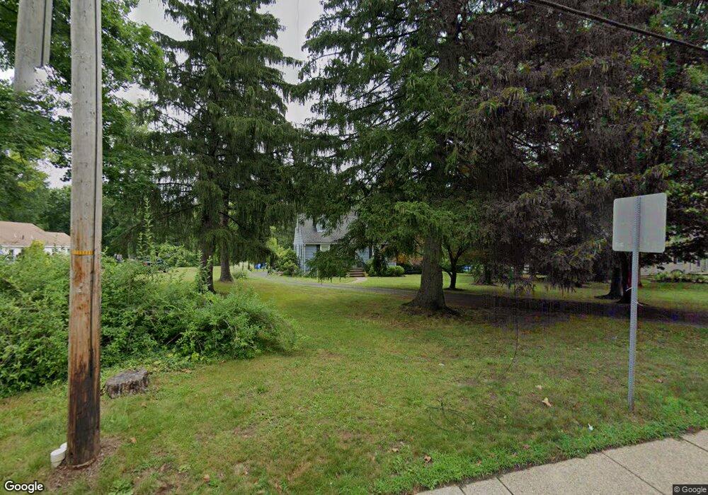
400 S Maple Ave Basking Ridge, NJ 07920
Estimated Value: $766,000 - $862,295
About This Home
This home is located at 400 S Maple Ave, Basking Ridge, NJ 07920 and is currently estimated at $800,574, approximately $532 per square foot. 400 S Maple Ave is a home located in Somerset County with nearby schools including Cedar Hill Elementary School, Oak Street Elementary School, and William Annin Middle School.
Ownership History
We collect this data history from publicly available records. To have your information removed, we recommend requesting removal directly through your county’s website.
Purchase Details
Home Financials for this Owner
Home Financials are based on the most recent Mortgage that was taken out on this home.Purchase Details
Home Financials for this Owner
Home Financials are based on the most recent Mortgage that was taken out on this home.Purchase Details
Home Financials for this Owner
Home Financials are based on the most recent Mortgage that was taken out on this home.Purchase Details
Purchase Details
Home Financials for this Owner
Home Financials are based on the most recent Mortgage that was taken out on this home.Home Values in the Area
Average Home Value in this Area
Purchase History
We collect this data history from publicly available records. To have your information removed, we recommend requesting removal directly through your county’s website.
| Date | Buyer | Sale Price | Title Company |
|---|---|---|---|
| -- | Fidelity National Title | ||
| -- | Fidelity National Title | ||
| $455,000 | Westcor Land Title Ins Co | ||
| $435,000 | First American Title Ins Co | ||
| -- | Multiple | ||
| $430,000 | Multiple |
Mortgage History
We collect this data history from publicly available records. To have your information removed, we recommend requesting removal directly through your county’s website.
| Date | Status | Borrower | Loan Amount |
|---|---|---|---|
| Open | $450,000 | ||
| Closed | $450,000 | ||
| Previous Owner | $341,250 | ||
| Previous Owner | $304,500 | ||
| Previous Owner | $230,000 |
Tax History
We collect this data history from publicly available records. To have your information removed, we recommend requesting removal directly through your county’s website.
| Year | Tax Paid | Tax Assessment Tax Assessment Total Assessment is a certain percentage of the fair market value that is determined by local assessors to be the total taxable value of land and additions on the property. | Land | Improvement |
|---|---|---|---|---|
| 2025 | $10,172 | $628,200 | $339,500 | $288,700 |
| 2024 | $10,172 | $571,800 | $317,000 | $254,800 |
| 2023 | $10,045 | $532,600 | $317,000 | $215,600 |
| 2022 | $9,894 | $492,000 | $317,000 | $175,000 |
| 2021 | $9,497 | $450,100 | $317,000 | $133,100 |
| 2020 | $9,400 | $448,900 | $320,900 | $128,000 |
| 2019 | $9,247 | $454,600 | $324,800 | $129,800 |
| 2018 | $8,934 | $445,600 | $315,800 | $129,800 |
| 2017 | $8,835 | $444,200 | $315,800 | $128,400 |
| 2016 | $8,703 | $446,100 | $315,800 | $130,300 |
| 2015 | $8,494 | $443,300 | $311,300 | $132,000 |
| 2014 | $8,568 | $443,000 | $311,300 | $131,700 |
Map
- 418 S Maple Ave
- 410 S Maple Ave
- 424 S Maple Ave
- 430 S Maple Ave
- 21 Heather Ln
- 390 S Maple Ave
- 11 Fairbanks Ln Unit 6
- 13 Fairbanks Ln
- 9 Fairbanks Ln
- 419 S Maple Ave
- 15 Fairbanks Ln
- 411 S Maple Ave
- 7 Fairbanks Ln
- 5 Fairbanks Ln
- 17 Fairbanks Ln
- 16 Fairbanks Ln Unit 26
- 19 Fairbanks Ln
- 18 Briar Ln
- 15 Heather Ln
- 11 Heather Ln
Ask me questions while you tour the home.