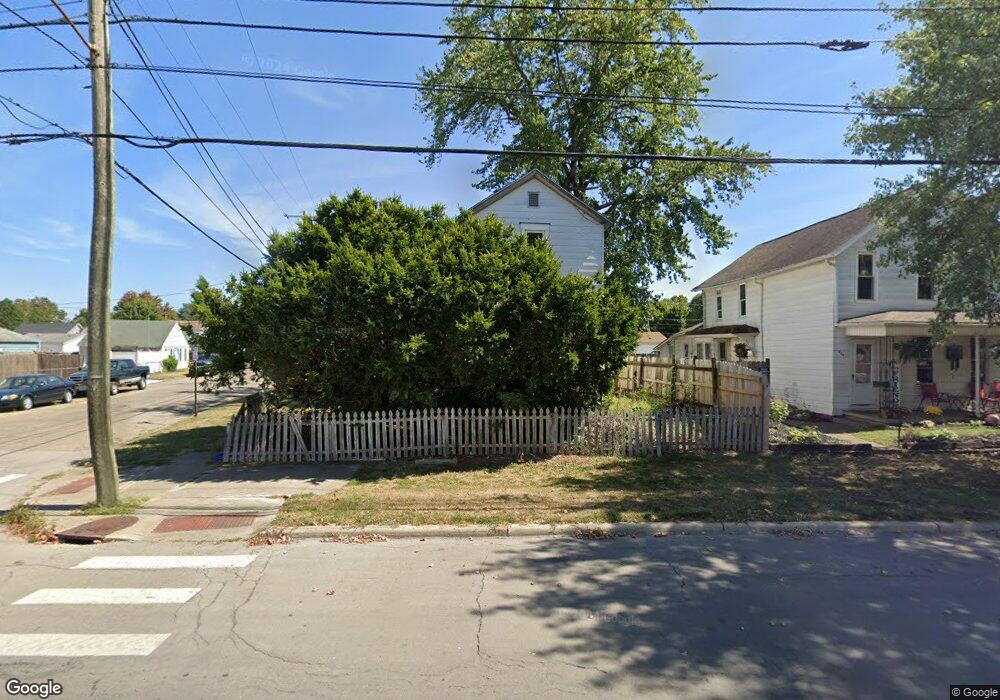
400 S Maple St Lancaster, OH 43130
Estimated Value: $94,000 - $159,000
3
Beds
2
Baths
1,290
Sq Ft
$103/Sq Ft
Est. Value
About This Home
This home is located at 400 S Maple St, Lancaster, OH 43130 and is currently estimated at $132,566, approximately $102 per square foot. 400 S Maple St is a home located in Fairfield County with nearby schools including Thomas Ewing Junior High School, Lancaster High School, and St Mary Elementary School.
Ownership History
Date
Name
Owned For
Owner Type
Purchase Details
Closed on
Aug 13, 2001
Sold by
Mccray Stewart J
Bought by
Mccray Thomas J and Mccray Jacqueline M
Current Estimated Value
Home Financials for this Owner
Home Financials are based on the most recent Mortgage that was taken out on this home.
Original Mortgage
$40,800
Interest Rate
6.5%
Mortgage Type
New Conventional
Create a Home Valuation Report for This Property
The Home Valuation Report is an in-depth analysis detailing your home's value as well as a comparison with similar homes in the area
Home Values in the Area
Average Home Value in this Area
Purchase History
We collect this data history from publicly available records. To have your information removed, we recommend requesting removal directly through your county’s website.
| Date | Buyer | Sale Price | Title Company |
|---|---|---|---|
| Mccray Thomas J | $23,159 | -- |
Source: Public Records
Mortgage History
We collect this data history from publicly available records. To have your information removed, we recommend requesting removal directly through your county’s website.
| Date | Status | Borrower | Loan Amount |
|---|---|---|---|
| Previous Owner | Mccray Thomas J | $40,800 |
Source: Public Records
Tax History
| Year | Tax Paid | Tax Assessment Tax Assessment Total Assessment is a certain percentage of the fair market value that is determined by local assessors to be the total taxable value of land and additions on the property. | Land | Improvement |
|---|---|---|---|---|
| 2025 | $1,562 | $29,500 | $7,370 | $22,130 |
| 2024 | $1,562 | $17,380 | $4,640 | $12,740 |
| 2023 | $632 | $17,380 | $4,640 | $12,740 |
| 2022 | $635 | $17,380 | $4,640 | $12,740 |
| 2021 | $575 | $14,750 | $4,640 | $10,110 |
| 2020 | $551 | $14,750 | $4,640 | $10,110 |
| 2019 | $524 | $14,750 | $4,640 | $10,110 |
| 2018 | $656 | $12,710 | $4,640 | $8,070 |
| 2017 | $657 | $17,560 | $4,640 | $12,920 |
| 2016 | $640 | $17,560 | $4,640 | $12,920 |
| 2015 | $638 | $16,990 | $4,640 | $12,350 |
| 2014 | $607 | $16,990 | $4,640 | $12,350 |
| 2013 | $607 | $16,990 | $4,640 | $12,350 |
Source: Public Records
Map
Nearby Homes
- 114 S Maple St
- 628 E Chestnut St
- 325 E Chestnut St
- 745 Cherokee Dr
- 537 E Wheeling St
- 124 Wyandotte St
- 154 E Main St
- 430 W Mulberry St
- 338 E Mulberry St
- 246 N Pearl Ave
- 338 King St
- 539 King St
- 648 King St
- 840 E Main St
- 1041 Sugar Grove Rd SE
- 844 E Wheeling St
- 0 N Columbus St
- 610 E 5th Ave
- 769 E Mulberry St
- 233 Lewis Ave
- 404 S Maple St
- 512 E Locust St
- 410 S Maple St
- 330 S Maple St
- 414 S Maple St
- 328 S Maple St
- 516 E Locust St
- 401 S Maple St
- 420 S Maple St
- 326 S Maple St
- 337 S Maple St
- 517 E Locust St
- 333 S Maple St
- 422 S Maple St
- 522 E Locust St
- 411 S Maple St
- 331 S Maple St
- 446 E Locust St
- 322 S Maple St
- 329 S Maple St
Your Personal Tour Guide
Ask me questions while you tour the home.