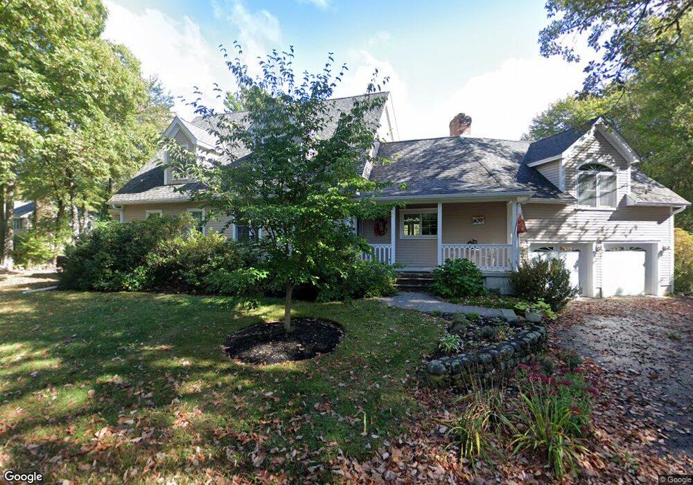
400 Winter St North Andover, MA 01845
Estimated Value: $948,000 - $1,037,000
3
Beds
3
Baths
3,131
Sq Ft
$317/Sq Ft
Est. Value
About This Home
This home is located at 400 Winter St, North Andover, MA 01845 and is currently estimated at $991,810, approximately $316 per square foot. 400 Winter St is a home located in Essex County with nearby schools including Kittredge Elementary School, North Andover Middle School, and North Andover High School.
Ownership History
Date
Name
Owned For
Owner Type
Purchase Details
Closed on
Mar 6, 1989
Sold by
Allara Joseph
Bought by
Munroe Tyler
Current Estimated Value
Home Financials for this Owner
Home Financials are based on the most recent Mortgage that was taken out on this home.
Original Mortgage
$165,000
Interest Rate
10.63%
Mortgage Type
Purchase Money Mortgage
Create a Home Valuation Report for This Property
The Home Valuation Report is an in-depth analysis detailing your home's value as well as a comparison with similar homes in the area
Home Values in the Area
Average Home Value in this Area
Purchase History
| Date | Buyer | Sale Price | Title Company |
|---|---|---|---|
| Munroe Tyler | $220,000 | -- |
Source: Public Records
Mortgage History
| Date | Status | Borrower | Loan Amount |
|---|---|---|---|
| Open | Munroe Tyler | $90,000 | |
| Closed | Munroe Tyler | $165,000 |
Source: Public Records
Tax History
| Year | Tax Paid | Tax Assessment Tax Assessment Total Assessment is a certain percentage of the fair market value that is determined by local assessors to be the total taxable value of land and additions on the property. | Land | Improvement |
|---|---|---|---|---|
| 2025 | $10,020 | $889,900 | $425,900 | $464,000 |
| 2024 | $9,644 | $869,600 | $404,100 | $465,500 |
| 2023 | $9,083 | $742,100 | $341,200 | $400,900 |
| 2022 | $9,002 | $665,300 | $310,700 | $354,600 |
| 2021 | $9,026 | $637,000 | $282,400 | $354,600 |
| 2020 | $8,570 | $623,700 | $282,400 | $341,300 |
| 2019 | $8,364 | $623,700 | $282,400 | $341,300 |
| 2018 | $9,062 | $623,700 | $282,400 | $341,300 |
| 2017 | $7,627 | $534,100 | $221,100 | $313,000 |
| 2016 | $7,512 | $526,400 | $219,800 | $306,600 |
| 2015 | $7,231 | $502,500 | $216,300 | $286,200 |
Source: Public Records
Map
Nearby Homes
- 9 Andersen Dr
- 90 Blue Ridge Rd
- 6 Foster St
- 243 Bear Hill Rd
- 112 Stonecleave Rd
- 71 Regency Place
- 480 Boxford St
- 94 Boxford St
- 20 Coachmans Ln
- 30 Anne Rd
- 445 Salem St
- 335 Salem St
- 0 Silvermine Rd
- Lot B Willow Ave
- 106 Spofford Rd
- 1401 Great Pond Rd Unit 6
- 120 Cricket Ln
- 1492 Great Pond Rd
- 12 Inverness Cir
- 27 Mill Pond
Your Personal Tour Guide
Ask me questions while you tour the home.