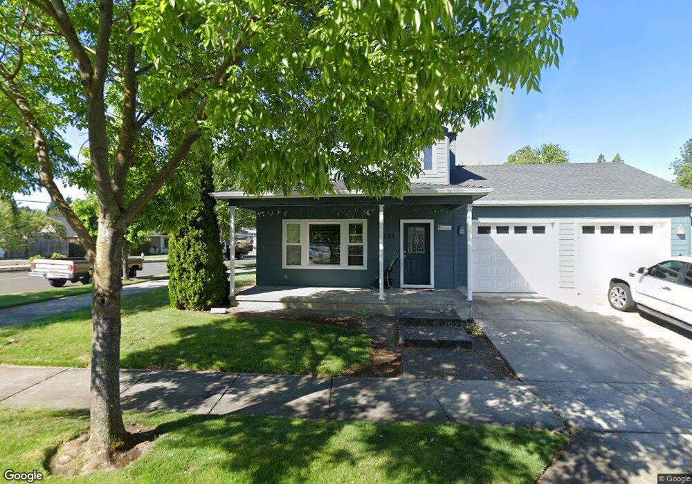
401 Richardson Dr Central Point, OR 97502
Estimated Value: $369,000 - $468,000
3
Beds
3
Baths
1,685
Sq Ft
$257/Sq Ft
Est. Value
About This Home
This home is located at 401 Richardson Dr, Central Point, OR 97502 and is currently estimated at $433,879, approximately $257 per square foot. 401 Richardson Dr is a home located in Jackson County with nearby schools including Richardson Elementary School, Scenic Middle School, and Crater High School.
Ownership History
Date
Name
Owned For
Owner Type
Purchase Details
Closed on
Apr 14, 2005
Sold by
W L Moore Construction Llc
Bought by
Charley Wesley R and Charley Julie A
Current Estimated Value
Home Financials for this Owner
Home Financials are based on the most recent Mortgage that was taken out on this home.
Original Mortgage
$245,600
Outstanding Balance
$124,737
Interest Rate
5.84%
Mortgage Type
Stand Alone First
Estimated Equity
$309,142
Create a Home Valuation Report for This Property
The Home Valuation Report is an in-depth analysis detailing your home's value as well as a comparison with similar homes in the area
Purchase History
| Date | Buyer | Sale Price | Title Company |
|---|---|---|---|
| Charley Wesley R | $272,900 | Lawyers Title Ins | |
| W L Moore Construction Llc | $75,000 | Lawyers Title Ins |
Source: Public Records
Mortgage History
| Date | Status | Borrower | Loan Amount |
|---|---|---|---|
| Open | Charley Wesley R | $245,600 |
Source: Public Records
Tax History
| Year | Tax Paid | Tax Assessment Tax Assessment Total Assessment is a certain percentage of the fair market value that is determined by local assessors to be the total taxable value of land and additions on the property. | Land | Improvement |
|---|---|---|---|---|
| 2026 | $4,064 | $245,590 | -- | -- |
| 2025 | $3,964 | $238,440 | $77,440 | $161,000 |
| 2024 | $3,964 | $231,500 | $75,180 | $156,320 |
| 2023 | $3,837 | $224,760 | $73,000 | $151,760 |
| 2022 | $3,747 | $224,760 | $73,000 | $151,760 |
| 2021 | $3,640 | $218,220 | $70,880 | $147,340 |
| 2020 | $3,534 | $211,870 | $68,820 | $143,050 |
| 2019 | $3,447 | $199,710 | $64,870 | $134,840 |
| 2018 | $3,342 | $193,900 | $62,980 | $130,920 |
| 2017 | $3,258 | $193,900 | $62,980 | $130,920 |
| 2016 | $3,163 | $182,780 | $59,360 | $123,420 |
| 2015 | $3,030 | $182,780 | $59,360 | $123,420 |
| 2014 | $2,953 | $172,300 | $55,950 | $116,350 |
Source: Public Records
Map
Nearby Homes
- 359 Jans Ct
- 501 Palo Verde Way
- 404 Silver Creek Dr
- 120 Nadine Ln
- 659 Blue Moon Dr
- 349 W Pine St
- 342 Hazel St
- 207 Holiday Ln
- 50 Kathryn Ct
- 0 N 3rd St
- 10 Donna Way
- 55 Crater Ln
- 547 Laurel St
- 1019 Rustler Peak St
- 625 Cherry St
- 0 Boulder Ridge St
- 1099 N Haskell St
- 489 Vincent Ave
- 296 Brandon St
- 1028 Buck Point St
- 407 Richardson Dr
- 1966 Taylor Rd
- 368 Jans Ct
- 417 Richardson Dr
- 1945 Taylor
- 366 Jans Ct
- 371 Jans Ct
- 364 Jans Ct
- 1967 Taylor Rd
- 427 Richardson Dr
- 1949 Taylor Rd
- 1927 Taylor Rd
- 362 Jan's Ct
- 362 Jans Ct
- 0 Taylor Tl1801-02 Rd Unit 102961021
- 1988 Taylor Rd
- 369 Jans Ct
- 0 Taylor Tl1801 Rd Unit 102961847
- 0 Jan's Ct
- 367 Jans Ct
Your Personal Tour Guide
Ask me questions while you tour the home.