Estimated Value: $75,121 - $143,000
Studio
1
Bath
1,096
Sq Ft
$100/Sq Ft
Est. Value
About This Home
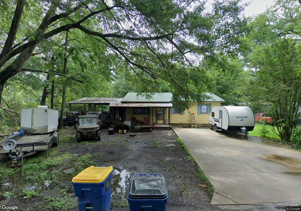
This home is located at 401 Taft St, Cabot, AR 72023 and is currently estimated at $110,030, approximately $100 per square foot. 401 Taft St is a home located in Lonoke County with nearby schools including Central Elementary School, Cabot Junior High South, and Cabot Middle School South.
Ownership History
Date
Name
Owned For
Owner Type
Purchase Details
Closed on
Feb 14, 2022
Sold by
Lee Gibson Wanda
Bought by
Hillman Ryan O
Current Estimated Value
Home Financials for this Owner
Home Financials are based on the most recent Mortgage that was taken out on this home.
Original Mortgage
$43,693
Outstanding Balance
$40,339
Interest Rate
3.55%
Mortgage Type
FHA
Estimated Equity
$69,691
Purchase Details
Closed on
Apr 11, 2011
Bought by
Gibson Wanda Lee Revoc Trust
Create a Home Valuation Report for This Property
The Home Valuation Report is an in-depth analysis detailing your home's value as well as a comparison with similar homes in the area
Purchase History
| Date | Buyer | Sale Price | Title Company |
|---|---|---|---|
| Hillman Ryan O | $44,500 | Liberty Title | |
| Hillman Ryan O | $44,500 | Liberty Title | |
| Gibson Wanda Lee Revoc Trust | -- | -- |
Source: Public Records
Mortgage History
| Date | Status | Borrower | Loan Amount |
|---|---|---|---|
| Open | Hillman Ryan O | $43,693 | |
| Closed | Hillman Ryan O | $43,693 |
Source: Public Records
Tax History
| Year | Tax Paid | Tax Assessment Tax Assessment Total Assessment is a certain percentage of the fair market value that is determined by local assessors to be the total taxable value of land and additions on the property. | Land | Improvement |
|---|---|---|---|---|
| 2025 | $558 | $10,970 | $1,120 | $9,850 |
| 2024 | $558 | $10,970 | $1,120 | $9,850 |
| 2023 | $558 | $0 | $0 | $0 |
| 2022 | $42 | $10,970 | $1,120 | $9,850 |
| 2021 | $42 | $10,970 | $1,120 | $9,850 |
| 2020 | $42 | $10,210 | $1,120 | $9,090 |
| 2019 | $42 | $10,210 | $1,120 | $9,090 |
| 2018 | $55 | $10,210 | $1,120 | $9,090 |
| 2017 | $376 | $10,210 | $1,120 | $9,090 |
| 2016 | $55 | $10,210 | $1,120 | $9,090 |
| 2015 | $55 | $9,730 | $1,130 | $8,600 |
| 2014 | $55 | $9,730 | $1,130 | $8,600 |
Source: Public Records
Map
Nearby Homes
- 509 E Myrtle St
- 16 Meadowlark Dr
- 51 Meadowlark Dr
- 113 Walnut St
- 11 Meadowlark Dr
- 57 Meadowlark Dr
- 00 Kerr Station Rd
- 110 N Monroe St
- 55 Oak Meadows Dr
- 49 Oak Meadows Dr
- 18 Bellamy St
- 19 Sycamore St
- 38 S 10th St
- 12 Bellaire Dr
- 907 N Lincoln St
- 22 Century Cir
- 64 Saint John St
- 00 Plaza Blvd
- 12 Blueberry Ln
- 210 W Cherry St
Your Personal Tour Guide
Ask me questions while you tour the home.