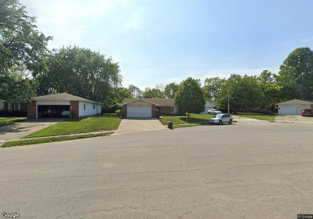
4013 Pickfair Rd Springfield, IL 62703
Franklin Park NeighborhoodEstimated Value: $186,810 - $218,000
About This Home
This home is located at 4013 Pickfair Rd, Springfield, IL 62703 and is currently estimated at $205,953, approximately $106 per square foot. 4013 Pickfair Rd is a home located in Sangamon County with nearby schools including Hazel Dell Elementary School, Jefferson Middle School, and Springfield Southeast High School.
Ownership History
We collect this data history from publicly available records. To have your information removed, we recommend requesting removal directly through your county’s website.
Purchase Details
Purchase Details
Purchase Details
Purchase Details
Home Values in the Area
Average Home Value in this Area
Purchase History
We collect this data history from publicly available records. To have your information removed, we recommend requesting removal directly through your county’s website.
| Date | Buyer | Sale Price | Title Company |
|---|---|---|---|
| $375,000 | -- | ||
| -- | -- | ||
| $89,000 | -- | ||
| -- | -- |
Tax History
We collect this data history from publicly available records. To have your information removed, we recommend requesting removal directly through your county’s website.
| Year | Tax Paid | Tax Assessment Tax Assessment Total Assessment is a certain percentage of the fair market value that is determined by local assessors to be the total taxable value of land and additions on the property. | Land | Improvement |
|---|---|---|---|---|
| 2025 | $4,002 | $49,432 | $12,083 | $37,349 |
| 2024 | $3,872 | $46,103 | $11,269 | $34,834 |
| 2023 | $3,723 | $42,111 | $10,293 | $31,818 |
| 2022 | $3,580 | $39,946 | $9,764 | $30,182 |
| 2021 | $3,461 | $38,450 | $9,398 | $29,052 |
| 2020 | $3,392 | $38,508 | $9,412 | $29,096 |
| 2019 | $3,329 | $38,374 | $9,379 | $28,995 |
| 2018 | $3,227 | $38,190 | $9,334 | $28,856 |
| 2017 | $3,160 | $37,696 | $9,213 | $28,483 |
| 2016 | $3,098 | $37,147 | $9,079 | $28,068 |
| 2015 | $3,068 | $36,702 | $8,970 | $27,732 |
| 2014 | $3,022 | $36,465 | $8,912 | $27,553 |
| 2013 | $2,954 | $36,465 | $8,912 | $27,553 |
Map
- 4008 Pickfair Rd
- 2208 Trowbridge Rd
- 66 W Hazel Dell
- 50 W Hazel Dell Unit 1
- 21 W Hazel Dell Unit 1
- 27 Circle Dr Unit 1
- 2143 E Hood St
- 3516 Sherman St Unit 1
- 0 Varsity Ct
- 80 Celeste Ct
- 446 W Lake Shore Dr
- 3230 Buckner St Unit 1
- 5248 Carlton Dr
- 3219 Butler St Unit 1
- 3100 Butler St Unit 1833
- 120 Agustus Ln
- 5312 Deerwood Lake
- 317 E Kimble St
- 130 Genoa Dr
- 11 Lansing Dr Unit 1
- 4017 Pickfair Rd
- 4021 Pickfair Rd
- 4021 Pickfair Rd
- 4021 4023 Pickfair
- 4023 Pickfair Rd
- 4011 Pickfair Rd
- 4009 Pickfair Rd
- 4016 Pickfair Rd
- 4025 Pickfair Rd
- 4009 Pickfair (And 4011)
- 4005 Pickfair Rd
- 4020 Pickfair Rd
- 4012 Pickfair Rd
- 4001 Pickfair Rd
- 4029 Pickfair Rd
- 4002 Pickfair Rd
- 4004 Pickfair Rd
- 4024 Pickfair Rd
- 4101 Pickfair Rd
- 4013 Hazelcrest Rd
Ask me questions while you tour the home.