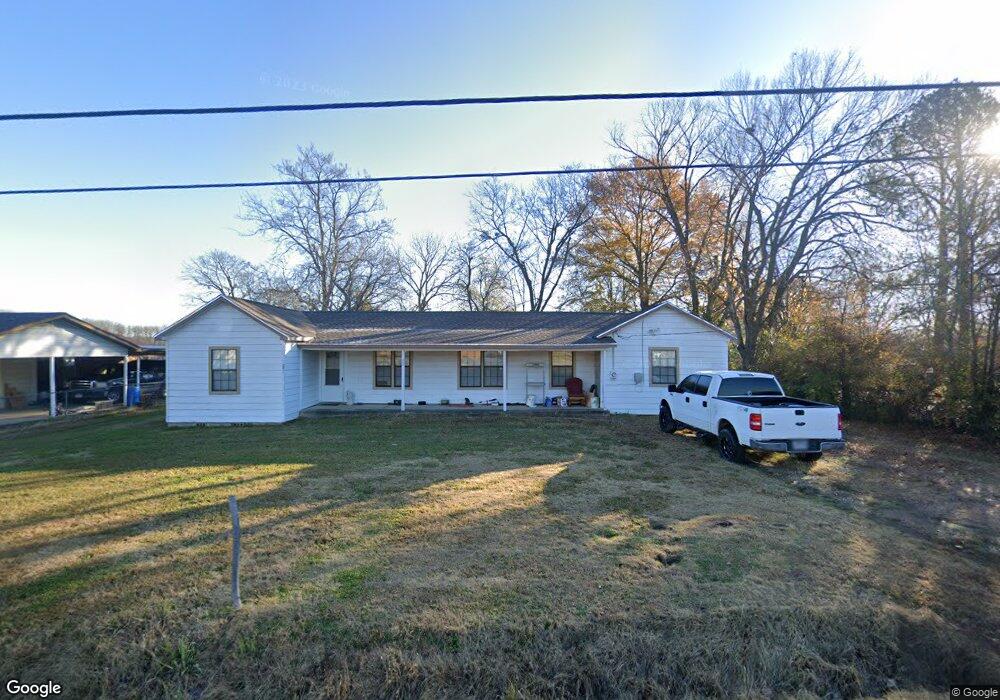
402 Carter Ave Mulberry, AR 72947
Estimated Value: $180,000 - $304,709
Studio
--
Bath
2,438
Sq Ft
$105/Sq Ft
Est. Value
About This Home
This home is located at 402 Carter Ave, Mulberry, AR 72947 and is currently estimated at $255,570, approximately $104 per square foot. 402 Carter Ave is a home with nearby schools including Marvin Primary School, Pleasant View Junior High School, and Mulberry High School.
Ownership History
Date
Name
Owned For
Owner Type
Purchase Details
Closed on
Oct 15, 2020
Sold by
Adams Ronnie Joe
Bought by
Adams Ronnie J and Adams Cathy S
Current Estimated Value
Purchase Details
Closed on
Jul 27, 2012
Sold by
Adams James Allen and Adams Raylene
Bought by
Adams Ronnie and Adams Cathy
Create a Home Valuation Report for This Property
The Home Valuation Report is an in-depth analysis detailing your home's value as well as a comparison with similar homes in the area
Purchase History
| Date | Buyer | Sale Price | Title Company |
|---|---|---|---|
| Adams Ronnie J | -- | None Available | |
| Adams Ronnie J | -- | None Available | |
| Adams Ronnie | -- | None Available |
Source: Public Records
Tax History
| Year | Tax Paid | Tax Assessment Tax Assessment Total Assessment is a certain percentage of the fair market value that is determined by local assessors to be the total taxable value of land and additions on the property. | Land | Improvement |
|---|---|---|---|---|
| 2025 | $1,817 | $65,190 | $2,000 | $63,190 |
| 2024 | $1,812 | $65,190 | $2,000 | $63,190 |
| 2023 | $1,782 | $65,190 | $2,000 | $63,190 |
| 2022 | $1,727 | $40,270 | $1,500 | $38,770 |
| 2021 | $1,586 | $40,270 | $1,500 | $38,770 |
| 2020 | $1,586 | $40,270 | $1,500 | $38,770 |
| 2019 | $1,586 | $40,270 | $1,500 | $38,770 |
| 2018 | $1,524 | $40,270 | $1,500 | $38,770 |
| 2017 | $1,369 | $36,650 | $1,500 | $35,150 |
| 2016 | $1,369 | $35,360 | $1,500 | $33,860 |
| 2015 | $1,308 | $35,360 | $1,500 | $33,860 |
| 2014 | $35 | $740 | $740 | $0 |
Source: Public Records
Map
Nearby Homes
- 210 W 2nd St
- 738 N Main St
- 904 Alma Ave
- 8 W 10th St
- 5527 Wire Rd
- TBD (lot 29) Keystone Dr
- TBD (lot 30) Keystone Dr
- 2150 Old Graphic St
- TBD Beth Lynn Dr
- 10117 Beth Lynn Rd
- TBD Exsorbet Dr
- 3032 King Dr
- 10119 Beth Lynn Rd
- 6839 U S 64
- 10110 Booth Rd
- 01 Arkansas 96
- 0 Tbd White Oak
- TBD Goff Cir
- 0 Goff Cir
- TBD White Oak Rd
Your Personal Tour Guide
Ask me questions while you tour the home.