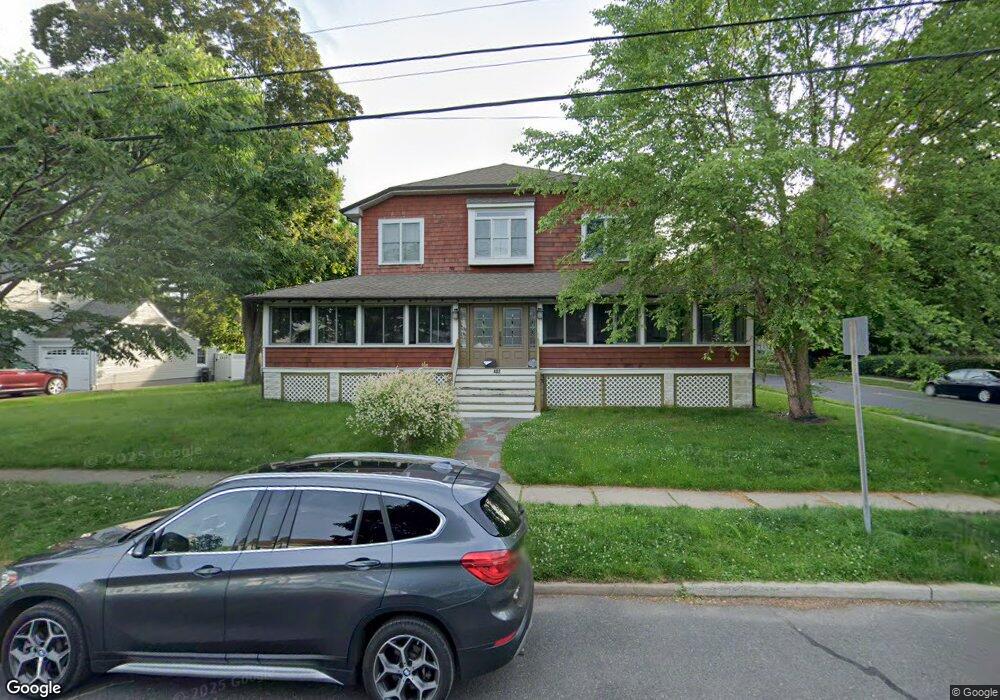
402 High St Cranford, NJ 07016
Estimated Value: $773,000 - $1,095,000
About This Home
This home is located at 402 High St, Cranford, NJ 07016 and is currently estimated at $910,998, approximately $273 per square foot. 402 High St is a home located in Union County with nearby schools including Cranford Sr High School and St Michael School.
Ownership History
We collect this data history from publicly available records. To have your information removed, we recommend requesting removal directly through your county’s website.
Purchase Details
Purchase Details
Home Financials for this Owner
Home Financials are based on the most recent Mortgage that was taken out on this home.Home Values in the Area
Average Home Value in this Area
Purchase History
We collect this data history from publicly available records. To have your information removed, we recommend requesting removal directly through your county’s website.
| Date | Buyer | Sale Price | Title Company |
|---|---|---|---|
| -- | None Listed On Document | ||
| $183,000 | -- |
Mortgage History
We collect this data history from publicly available records. To have your information removed, we recommend requesting removal directly through your county’s website.
| Date | Status | Borrower | Loan Amount |
|---|---|---|---|
| Previous Owner | $146,400 |
Tax History
We collect this data history from publicly available records. To have your information removed, we recommend requesting removal directly through your county’s website.
| Year | Tax Paid | Tax Assessment Tax Assessment Total Assessment is a certain percentage of the fair market value that is determined by local assessors to be the total taxable value of land and additions on the property. | Land | Improvement |
|---|---|---|---|---|
| 2025 | $13,070 | $192,800 | $87,300 | $105,500 |
| 2024 | $12,854 | $192,800 | $87,300 | $105,500 |
| 2023 | $12,854 | $192,800 | $87,300 | $105,500 |
| 2022 | $12,748 | $192,800 | $87,300 | $105,500 |
| 2021 | $12,692 | $192,800 | $87,300 | $105,500 |
| 2020 | $12,652 | $192,800 | $87,300 | $105,500 |
| 2019 | $12,571 | $192,800 | $87,300 | $105,500 |
| 2018 | $12,343 | $192,800 | $87,300 | $105,500 |
| 2017 | $11,919 | $192,800 | $87,300 | $105,500 |
| 2016 | $11,485 | $192,800 | $87,300 | $105,500 |
| 2015 | $11,184 | $192,800 | $87,300 | $105,500 |
| 2014 | $10,955 | $192,800 | $87,300 | $105,500 |
Map
- 409 High St
- 9 Hawthorne St
- 48 Mansion Terrace
- 302 Walnut Ave
- 111 Shadowlawn Way
- 389 Walnut Ave
- 615 Lincoln Park E
- 54 Lenhome Dr
- 109 Centennial Ave
- 26 Park Terrace
- 14 Chester Lang Place
- 112 Severin Ct
- 23 Lincoln Ave W
- 5 Phillips St
- 346 Retford Ave
- 24A Hollywood Ave
- 941 Lincoln Ave E
- 19 Munsee Dr
- 241 North Ave W
- 18 Springfield Ave Unit 4E
Ask me questions while you tour the home.