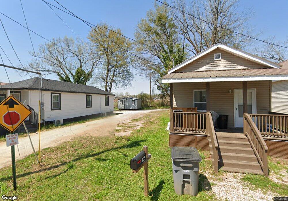
403 E Bacon St Lagrange, GA 30241
Estimated Value: $88,000 - $362,000
2
Beds
1
Bath
798
Sq Ft
$276/Sq Ft
Est. Value
About This Home
This home is located at 403 E Bacon St, Lagrange, GA 30241 and is currently estimated at $220,000, approximately $275 per square foot. 403 E Bacon St is a home located in Troup County with nearby schools including Franklin Forest Elementary School, Hollis Hand Elementary School, and Ethel W. Kight Elementary School.
Ownership History
Date
Name
Owned For
Owner Type
Purchase Details
Closed on
Jun 25, 1997
Sold by
Joel Thompson Est
Bought by
Hightower Carrie and Hightower Jessie
Current Estimated Value
Purchase Details
Closed on
Oct 16, 1990
Sold by
Mallory Realty
Bought by
Joel Thompson Est
Purchase Details
Closed on
Aug 1, 1982
Sold by
City Marshall
Bought by
Mallory Realty
Purchase Details
Closed on
Jan 1, 1954
Sold by
Julian M Longley
Bought by
City Marshall
Create a Home Valuation Report for This Property
The Home Valuation Report is an in-depth analysis detailing your home's value as well as a comparison with similar homes in the area
Purchase History
| Date | Buyer | Sale Price | Title Company |
|---|---|---|---|
| Hightower Carrie | -- | -- | |
| Joel Thompson Est | -- | -- | |
| Mallory Realty | -- | -- | |
| City Marshall | -- | -- |
Source: Public Records
Tax History
| Year | Tax Paid | Tax Assessment Tax Assessment Total Assessment is a certain percentage of the fair market value that is determined by local assessors to be the total taxable value of land and additions on the property. | Land | Improvement |
|---|---|---|---|---|
| 2025 | $10 | $360 | $360 | $0 |
| 2024 | $10 | $360 | $360 | $0 |
| 2023 | $10 | $360 | $360 | $0 |
| 2022 | $10 | $360 | $360 | $0 |
| 2021 | $11 | $360 | $360 | $0 |
| 2020 | $11 | $360 | $360 | $0 |
| 2019 | $11 | $356 | $356 | $0 |
| 2018 | $152 | $5,036 | $356 | $4,680 |
| 2017 | $152 | $5,036 | $356 | $4,680 |
| 2016 | $151 | $5,006 | $356 | $4,650 |
| 2015 | $151 | $5,006 | $356 | $4,650 |
| 2014 | $144 | $4,761 | $356 | $4,405 |
| 2013 | -- | $5,110 | $356 | $4,754 |
Source: Public Records
Map
Nearby Homes
- 131 Foch St
- 706 N Harlem Cir
- 616 S Harlem Cir
- 121 de Groat St
- 301 E Bacon St
- 622 Arthur St
- 803 1/2 Hines St
- 801 Hines St
- 0 Ridley Ave Unit 10550104
- 609 Ridley Ave
- 707 Ridley Ave
- 611 Ridley Ave
- 615 Ridley Ave
- 709 Ridley Ave
- 102 Dogwood Dr
- 101 McGee St
- 208 Render St
- 118 Highland Ave
- 228 E Render St
- 335 Laurel Ln
Your Personal Tour Guide
Ask me questions while you tour the home.