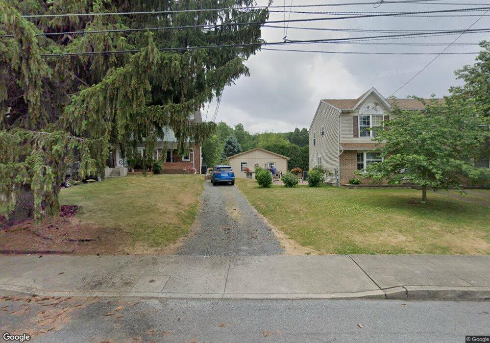
403 Oak St Emmaus, PA 18049
Estimated Value: $286,000 - $334,000
2
Beds
1
Bath
1,252
Sq Ft
$253/Sq Ft
Est. Value
About This Home
This home is located at 403 Oak St, Emmaus, PA 18049 and is currently estimated at $317,058, approximately $253 per square foot. 403 Oak St is a home located in Lehigh County with nearby schools including Lincoln Elementary School, Lower Macungie Middle School, and Emmaus High School.
Ownership History
Date
Name
Owned For
Owner Type
Purchase Details
Closed on
Apr 13, 2022
Sold by
Stortz Betty J
Bought by
Holland William J and Holland Maria K
Current Estimated Value
Home Financials for this Owner
Home Financials are based on the most recent Mortgage that was taken out on this home.
Original Mortgage
$50,000
Outstanding Balance
$46,742
Interest Rate
4.72%
Mortgage Type
New Conventional
Estimated Equity
$270,316
Purchase Details
Closed on
Dec 5, 2000
Sold by
Landis Samuel N and Landis Emily R
Bought by
Stortz Arthur F and Stortz Betty J
Create a Home Valuation Report for This Property
The Home Valuation Report is an in-depth analysis detailing your home's value as well as a comparison with similar homes in the area
Home Values in the Area
Average Home Value in this Area
Purchase History
| Date | Buyer | Sale Price | Title Company |
|---|---|---|---|
| Holland William J | $259,000 | Penn Title | |
| Stortz Arthur F | $125,000 | -- |
Source: Public Records
Mortgage History
| Date | Status | Borrower | Loan Amount |
|---|---|---|---|
| Open | Holland William J | $50,000 |
Source: Public Records
Tax History
| Year | Tax Paid | Tax Assessment Tax Assessment Total Assessment is a certain percentage of the fair market value that is determined by local assessors to be the total taxable value of land and additions on the property. | Land | Improvement |
|---|---|---|---|---|
| 2026 | $6,724 | $185,400 | $36,800 | $148,600 |
| 2025 | $6,531 | $185,400 | $36,800 | $148,600 |
| 2024 | $5,982 | $185,400 | $36,800 | $148,600 |
| 2023 | $5,866 | $185,400 | $36,800 | $148,600 |
| 2022 | $5,672 | $185,400 | $148,600 | $36,800 |
| 2021 | $5,530 | $185,400 | $36,800 | $148,600 |
| 2020 | $5,483 | $185,400 | $36,800 | $148,600 |
| 2019 | $5,336 | $185,400 | $36,800 | $148,600 |
| 2018 | $5,135 | $185,400 | $36,800 | $148,600 |
| 2017 | $4,977 | $185,400 | $36,800 | $148,600 |
| 2016 | -- | $185,400 | $36,800 | $148,600 |
| 2015 | -- | $185,400 | $36,800 | $148,600 |
| 2014 | -- | $185,400 | $36,800 | $148,600 |
Source: Public Records
Map
Nearby Homes
- 615-619 Fairview St
- 615 Fairview St
- 122 S 4th St
- 530 Chestnut St
- 390 Fairview St Unit 390
- 630 Walnut St
- 742 Walnut St
- 108 MacUngie Ave
- 115 MacUngie Ave
- 343 Broad St
- 543 Long St
- 42 N 4th St
- 97 Chestnut Hill Rd
- 534 Seem St Unit 540
- 118-122 N 2nd St
- 118 N 2nd St
- 443 N 3rd St
- 4109 Eveningstar Rd
- 189 W Berger St
- 120 Harrison St
Your Personal Tour Guide
Ask me questions while you tour the home.