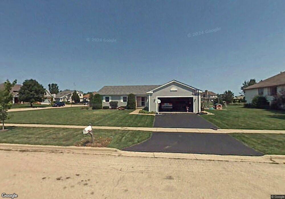
403 Red Wing Ln Dekalb, IL 60115
Estimated Value: $310,000 - $369,000
4
Beds
3
Baths
1,860
Sq Ft
$181/Sq Ft
Est. Value
About This Home
This home is located at 403 Red Wing Ln, Dekalb, IL 60115 and is currently estimated at $336,535, approximately $180 per square foot. 403 Red Wing Ln is a home located in DeKalb County with nearby schools including Gwendolyn Brooks Elementary School, Clinton Rosette Middle School, and De Kalb High School.
Ownership History
Date
Name
Owned For
Owner Type
Purchase Details
Closed on
May 28, 2009
Sold by
Bower Greg S
Bought by
Burch Aaron A and Burch Crystal
Current Estimated Value
Home Financials for this Owner
Home Financials are based on the most recent Mortgage that was taken out on this home.
Original Mortgage
$176,739
Outstanding Balance
$112,147
Interest Rate
4.85%
Mortgage Type
FHA
Estimated Equity
$224,388
Create a Home Valuation Report for This Property
The Home Valuation Report is an in-depth analysis detailing your home's value as well as a comparison with similar homes in the area
Home Values in the Area
Average Home Value in this Area
Purchase History
| Date | Buyer | Sale Price | Title Company |
|---|---|---|---|
| Burch Aaron A | $178,500 | -- |
Source: Public Records
Mortgage History
| Date | Status | Borrower | Loan Amount |
|---|---|---|---|
| Open | Burch Aaron A | $176,739 |
Source: Public Records
Tax History
| Year | Tax Paid | Tax Assessment Tax Assessment Total Assessment is a certain percentage of the fair market value that is determined by local assessors to be the total taxable value of land and additions on the property. | Land | Improvement |
|---|---|---|---|---|
| 2025 | $6,187 | $91,614 | $10,716 | $80,898 |
| 2024 | $6,301 | $83,658 | $9,785 | $73,873 |
| 2023 | $6,124 | $72,943 | $8,532 | $64,411 |
| 2022 | $6,124 | $66,597 | $9,738 | $56,859 |
| 2021 | $6,248 | $62,462 | $9,133 | $53,329 |
| 2020 | $6,378 | $61,466 | $8,987 | $52,479 |
| 2019 | $6,225 | $59,051 | $8,634 | $50,417 |
| 2018 | $6,054 | $57,048 | $8,341 | $48,707 |
| 2017 | $6,083 | $54,838 | $8,018 | $46,820 |
| 2016 | $5,997 | $53,454 | $7,816 | $45,638 |
| 2015 | -- | $50,648 | $7,406 | $43,242 |
| 2014 | -- | $51,299 | $14,729 | $36,570 |
| 2013 | -- | $53,886 | $15,472 | $38,414 |
Source: Public Records
Map
Nearby Homes
- 3051 Fairway Oaks Dr
- 484 Bethany Rd
- 102 Quinlan Ave
- 151 Quinlan Ave
- 2405 Glen Cir E
- 3160 Covered Bridge Ln
- 2315 Hickory Ln
- 2708 Greenwood Acres Dr
- 368 Kingsbury Dr
- 103 Stoney Creek Rd
- TBD Greenwood Acres Dr
- 01 Greenwood Acres Dr
- Lot 7 Aberdeen Ct
- Lot 104 Aberdeen Ct
- 3428 Comstock Ave
- 3389 Comstock Ave
- 3431 Comstock Ave
- 512 Quinlan Ave
- 1827 Kerrybrook Ct Unit 427
- 1827 Kerrybrook Ct Unit 441
- 3314 Meadow Trail W
- 409 Red Wing Ln
- 3328 Meadow Trail W
- 404 Red Wing Ln
- 415 Red Wing Ln
- 3305 Meadow Trail W
- 3299 Meadow Trail W
- 3309 Meadow Trail W
- 410 Red Wing Ln
- 3287 Meadow Trail W
- 3319 Meadow Trail W
- 3340 Meadow Trail W
- 421 Red Wing Ln
- 416 Red Wing Ln
- 3341 Meadow Trail E
- 23 Meadow Trail W
- 422 Red Wing Ln
- 3323 Meadow Trail W
- 21 Meadow Trail W
Your Personal Tour Guide
Ask me questions while you tour the home.