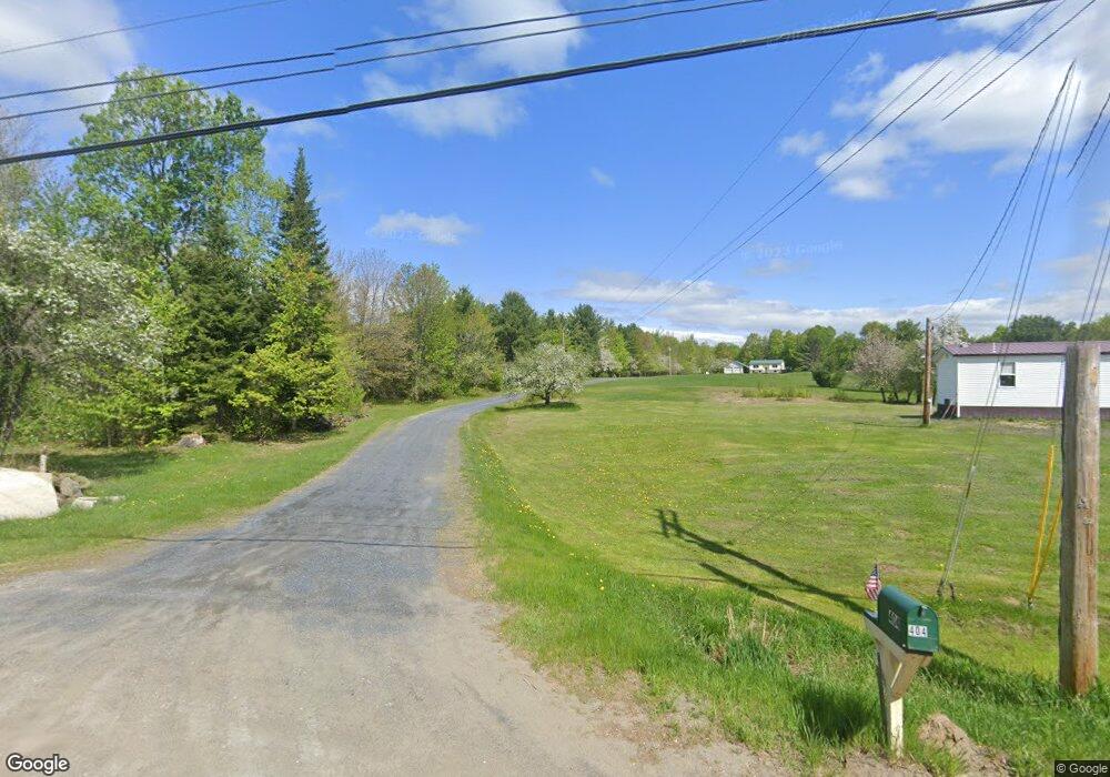
404 Anson Rd Starks, ME 04911
Estimated Value: $206,714 - $321,000
Studio
--
Bath
--
Sq Ft
261,360
Sq Ft Lot
About This Home
This home is located at 404 Anson Rd, Starks, ME 04911 and is currently estimated at $245,179. 404 Anson Rd is a home with nearby schools including Madison Area Memorial High School.
Create a Home Valuation Report for This Property
The Home Valuation Report is an in-depth analysis detailing your home's value as well as a comparison with similar homes in the area
Tax History
| Year | Tax Paid | Tax Assessment Tax Assessment Total Assessment is a certain percentage of the fair market value that is determined by local assessors to be the total taxable value of land and additions on the property. | Land | Improvement |
|---|---|---|---|---|
| 2024 | $2,110 | $146,520 | $16,800 | $129,720 |
| 2023 | $2,044 | $146,520 | $16,800 | $129,720 |
| 2022 | $1,861 | $146,520 | $16,800 | $129,720 |
| 2021 | $2,023 | $146,520 | $16,800 | $129,720 |
| 2020 | $2,308 | $146,520 | $16,800 | $129,720 |
| 2019 | $1,785 | $95,700 | $14,000 | $81,700 |
| 2018 | $1,684 | $95,700 | $14,000 | $81,700 |
| 2017 | $1,603 | $95,700 | $14,000 | $81,700 |
| 2016 | $1,494 | $76,610 | $11,250 | $65,360 |
| 2015 | $1,532 | $76,610 | $11,250 | $65,360 |
| 2014 | $1,494 | $76,610 | $11,250 | $65,360 |
| 2013 | $1,614 | $81,720 | $12,360 | $69,360 |
Source: Public Records
Map
Nearby Homes
- 1.3 Mayhew Rd
- map6 lot1 Mayhew Rd
- Map6 lot2 Mayhew Rd
- 735 Sandy River Rd
- 17 Anson Rd
- 8 Magnolia Ln
- 78 Fording Rd
- 1648 New Sharon Rd
- 0 Poor Farm Rd Unit 1637355
- 300 Locke Hill Rd
- Lot 2 Father Rasle Rd
- 199 Elm St
- 012-002 W Mill Rd
- 88 Childs Rd
- 6 Myrtle St
- 83 Preble Ave
- 88 Pine St
- 8 Preble Ave
- 1194 Mercer Rd
- 95 Main St
Your Personal Tour Guide
Ask me questions while you tour the home.