Estimated Value: $226,000 - $300,000
About This Home
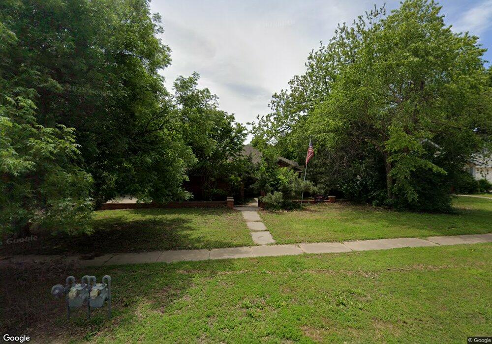
This home is located at 404 Poplar Ave, Yukon, OK 73099 and is currently estimated at $267,450, approximately $150 per square foot. 404 Poplar Ave is a home located in Canadian County with nearby schools including Central Elementary School, Independence Elementary School, and Yukon Middle School.
Ownership History
We collect this data history from publicly available records. To have your information removed, we recommend requesting removal directly through your county’s website.
Purchase Details
Home Financials for this Owner
Home Financials are based on the most recent Mortgage that was taken out on this home.Purchase Details
Home Financials for this Owner
Home Financials are based on the most recent Mortgage that was taken out on this home.Purchase Details
Purchase Details
Home Values in the Area
Average Home Value in this Area
Purchase History
We collect this data history from publicly available records. To have your information removed, we recommend requesting removal directly through your county’s website.
| Date | Buyer | Sale Price | Title Company |
|---|---|---|---|
| $210,000 | First American Title | ||
| $174,000 | Agt | ||
| -- | -- | ||
| -- | -- |
Mortgage History
We collect this data history from publicly available records. To have your information removed, we recommend requesting removal directly through your county’s website.
| Date | Status | Borrower | Loan Amount |
|---|---|---|---|
| Open | $209,900 | ||
| Previous Owner | $179,638 |
Tax History
We collect this data history from publicly available records. To have your information removed, we recommend requesting removal directly through your county’s website.
| Year | Tax Paid | Tax Assessment Tax Assessment Total Assessment is a certain percentage of the fair market value that is determined by local assessors to be the total taxable value of land and additions on the property. | Land | Improvement |
|---|---|---|---|---|
| 2025 | $2,330 | $23,313 | $4,391 | $18,922 |
| 2024 | $2,272 | $22,634 | $4,263 | $18,371 |
| 2023 | $2,272 | $21,975 | $4,019 | $17,956 |
| 2022 | $2,213 | $21,335 | $4,019 | $17,316 |
| 2021 | $2,220 | $21,335 | $4,019 | $17,316 |
| 2020 | $2,216 | $21,550 | $4,019 | $17,531 |
| 2019 | $2,208 | $21,411 | $4,019 | $17,392 |
| 2018 | $2,147 | $20,788 | $4,019 | $16,769 |
| 2017 | $2,136 | $20,687 | $4,019 | $16,668 |
| 2016 | $2,103 | $20,366 | $4,019 | $16,347 |
| 2015 | $2,091 | $19,436 | $4,019 | $15,417 |
| 2014 | $2,091 | $19,973 | $4,019 | $15,954 |
Map
- 3440 Pagoda Pead Dr
- 3601 Sawtooth Ridge Dr
- 3332 Pagoda Pead Dr
- 3308 Pagoda Pead Dr
- 3604 Northover Ridge Dr
- 11020 SW 34th Terrace
- 402 Yukon Ave
- 723 Poplar Ave
- 428 S 8th St
- 118 Pine Ave
- 707 S 2nd St
- 319 W Bass Ave
- 2004 Aminas Way
- 303 W Bass Ave
- 114 N 6th St
- 12205 Birch Ave
- 12100 Birch Ave
- 9300 Anaum Ln
- 1100 S 1st St
- 207 Birch Ave
Ask me questions while you tour the home.