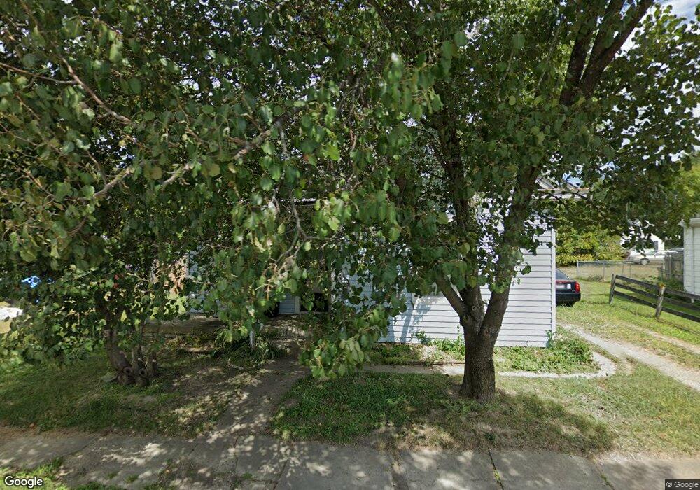
405 E Ohio St Unit A Georgetown, OH 45121
Estimated Value: $106,528 - $193,000
2
Beds
1
Bath
902
Sq Ft
$172/Sq Ft
Est. Value
About This Home
This home is located at 405 E Ohio St Unit A, Georgetown, OH 45121 and is currently estimated at $154,882, approximately $171 per square foot. 405 E Ohio St Unit A is a home located in Brown County with nearby schools including Georgetown Elementary School and Georgetown Jr/Sr High School.
Ownership History
Date
Name
Owned For
Owner Type
Purchase Details
Closed on
Dec 12, 2017
Sold by
Island Property Investments Llc
Bought by
Ralston Michael W
Current Estimated Value
Purchase Details
Closed on
Dec 14, 2015
Sold by
Keybank Na
Bought by
Island Properties Investments Llc
Purchase Details
Closed on
May 9, 2015
Sold by
Mullis Scott Wayne and Mullis Sandy M
Bought by
Keybank N A
Purchase Details
Closed on
Mar 4, 1997
Sold by
Becraft Michael A
Bought by
Mullis Scott W and Mullis Sandy M
Home Financials for this Owner
Home Financials are based on the most recent Mortgage that was taken out on this home.
Original Mortgage
$31,000
Interest Rate
7.93%
Mortgage Type
New Conventional
Create a Home Valuation Report for This Property
The Home Valuation Report is an in-depth analysis detailing your home's value as well as a comparison with similar homes in the area
Home Values in the Area
Average Home Value in this Area
Purchase History
| Date | Buyer | Sale Price | Title Company |
|---|---|---|---|
| Ralston Michael W | $21,000 | None Available | |
| Island Properties Investments Llc | -- | Prism Title & Closing Servic | |
| Keybank N A | -- | None Available | |
| Mullis Scott W | $30,000 | -- |
Source: Public Records
Mortgage History
| Date | Status | Borrower | Loan Amount |
|---|---|---|---|
| Previous Owner | Mullis Scott W | $31,000 |
Source: Public Records
Tax History
| Year | Tax Paid | Tax Assessment Tax Assessment Total Assessment is a certain percentage of the fair market value that is determined by local assessors to be the total taxable value of land and additions on the property. | Land | Improvement |
|---|---|---|---|---|
| 2024 | $591 | $16,310 | $2,590 | $13,720 |
| 2023 | $592 | $13,390 | $2,180 | $11,210 |
| 2022 | $528 | $13,390 | $2,180 | $11,210 |
| 2021 | $523 | $13,390 | $2,180 | $11,210 |
| 2020 | $462 | $11,150 | $1,810 | $9,340 |
| 2019 | $459 | $11,150 | $1,810 | $9,340 |
| 2018 | $456 | $11,150 | $1,810 | $9,340 |
| 2017 | $351 | $10,120 | $2,000 | $8,120 |
| 2016 | $351 | $10,120 | $2,000 | $8,120 |
| 2015 | $363 | $10,120 | $2,000 | $8,120 |
| 2014 | $363 | $9,930 | $1,810 | $8,120 |
| 2013 | $362 | $9,930 | $1,810 | $8,120 |
Source: Public Records
Map
Nearby Homes
- 399 Elmwood Ct
- 60 New St
- 406 E North St
- 405 N Main St
- 1 N Kenwood Ave
- 2 N Kenwood Ave
- 200 N High St
- 505 S Water St
- 666 E State St
- 510 W State St
- 708 E State St
- 155 Free Soil Rd
- 0 St Rt 221 & Footbridge Unit 1826509
- 90 Douglas Cir
- 175 Douglas Cir
- 20 Heritage Hill Dr
- 38 Dell Acres Dr
- 3486 Barnes Rd
- 0 Barnes Rd Unit 1851215
- 3546 Ohio 125
Your Personal Tour Guide
Ask me questions while you tour the home.