405 Hawk Farm Rd Kunkletown, PA 18058
Estimated Value: $132,000 - $563,000
2
Beds
2
Baths
2,536
Sq Ft
$150/Sq Ft
Est. Value
About This Home
This home is located at 405 Hawk Farm Rd, Kunkletown, PA 18058 and is currently estimated at $381,552, approximately $150 per square foot. 405 Hawk Farm Rd is a home located in Carbon County with nearby schools including Palmerton Area High School.
Ownership History
Date
Name
Owned For
Owner Type
Purchase Details
Closed on
Jan 11, 2007
Sold by
Miller Marilyn Kay
Bought by
Dunbar Richard C and Dunbar Stephanie J
Current Estimated Value
Home Financials for this Owner
Home Financials are based on the most recent Mortgage that was taken out on this home.
Original Mortgage
$235,000
Outstanding Balance
$140,044
Interest Rate
6.16%
Mortgage Type
New Conventional
Estimated Equity
$241,508
Create a Home Valuation Report for This Property
The Home Valuation Report is an in-depth analysis detailing your home's value as well as a comparison with similar homes in the area
Home Values in the Area
Average Home Value in this Area
Purchase History
| Date | Buyer | Sale Price | Title Company |
|---|---|---|---|
| Dunbar Richard C | $315,000 | None Available |
Source: Public Records
Mortgage History
| Date | Status | Borrower | Loan Amount |
|---|---|---|---|
| Open | Dunbar Richard C | $235,000 |
Source: Public Records
Tax History
| Year | Tax Paid | Tax Assessment Tax Assessment Total Assessment is a certain percentage of the fair market value that is determined by local assessors to be the total taxable value of land and additions on the property. | Land | Improvement |
|---|---|---|---|---|
| 2025 | $4,834 | $56,200 | $14,150 | $42,050 |
| 2024 | $4,519 | $56,200 | $14,150 | $42,050 |
| 2023 | $4,365 | $56,200 | $14,150 | $42,050 |
| 2022 | $4,159 | $56,200 | $14,150 | $42,050 |
| 2021 | $3,481 | $48,600 | $14,150 | $34,450 |
| 2020 | $3,433 | $48,600 | $14,150 | $34,450 |
| 2019 | $3,335 | $48,600 | $14,150 | $34,450 |
| 2018 | $3,335 | $48,600 | $14,150 | $34,450 |
| 2017 | $3,275 | $48,600 | $14,150 | $34,450 |
| 2016 | -- | $48,600 | $14,150 | $34,450 |
| 2015 | -- | $48,600 | $14,150 | $34,450 |
| 2014 | -- | $48,600 | $14,150 | $34,450 |
Source: Public Records
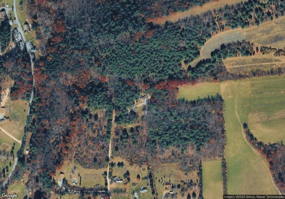
Map
Nearby Homes
- 0 Co Line & Lr 45052 Unit PM-137915
- 15 Chestnut Ridge Cir
- 295 Railbed Trail
- 150 Red Oak Dr
- 205 Sycamore Dr
- Lot 38 Woodview Hills
- 1850 Spruce Hollow Rd
- 1357 N Cottonwood Rd
- Lot 32 Greenview Ct
- 3088 Delps Rd
- 3225 Delps Rd
- 00 Floyd Rd
- 355 Hickory Rd
- 361 Interchange Rd
- 3749 Mountain View Dr
- 0 Mountain View Dr Unit 769079
- 3045 W Scenic Dr
- 0 Olive Rd
- 112 Trach Rd
- 0 T425
- 205 Hawk Farm Rd
- 205 Hawk Farm Rd
- 140 Hawk Farm Rd
- 250 Hawk Farm Rd
- 220 Hawk Farm Rd
- 2990 57 Rd
- 155 Hawk Farm Rd
- 155 Locust Dr
- 214 Correll Rd
- 2930 57 Rd
- 3135 57 Rd
- 2915 57 Rd
- A1.09A Hawk Farm Rd
- 3215 57 Rd
- 35 Hawk Farm Rd
- 6080 Little Gap Rd
- 6100 Little Gap Rd
- 201 Correll Rd
- 2915 Road 57 Rd
- 266 Correll Rd
Your Personal Tour Guide
Ask me questions while you tour the home.