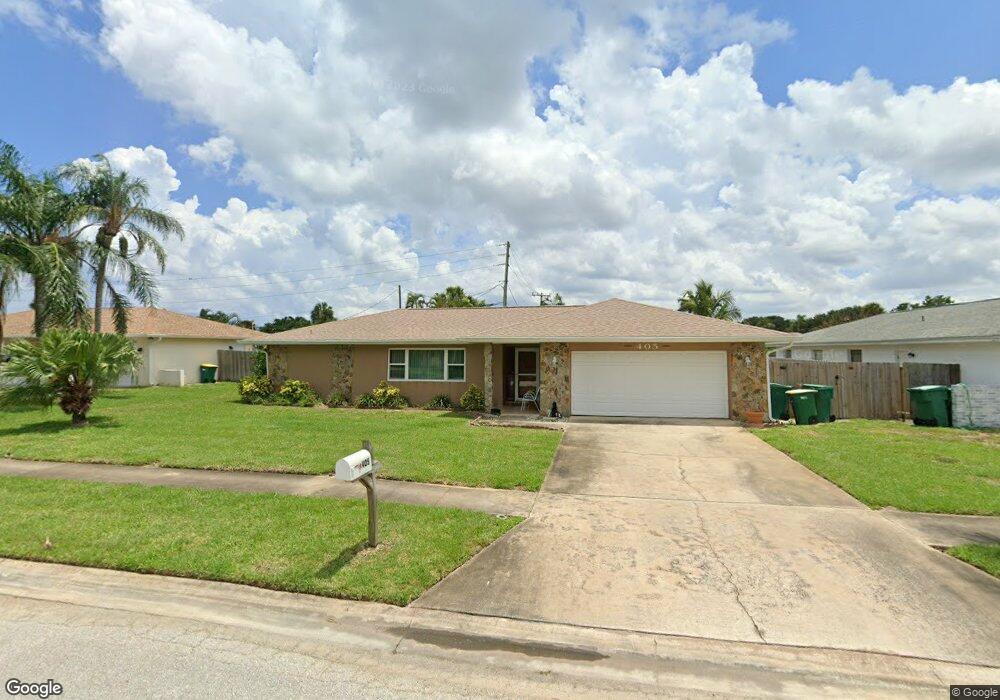
405 Winchester Rd Satellite Beach, FL 32937
Estimated Value: $612,719 - $728,000
4
Beds
2
Baths
2,002
Sq Ft
$336/Sq Ft
Est. Value
About This Home
This home is located at 405 Winchester Rd, Satellite Beach, FL 32937 and is currently estimated at $671,680, approximately $335 per square foot. 405 Winchester Rd is a home located in Brevard County with nearby schools including Surfside Elementary School, Satellite Senior High School, and DeLaura Middle School.
Ownership History
Date
Name
Owned For
Owner Type
Purchase Details
Closed on
Sep 27, 1996
Sold by
Gault Charles A and Gault Maria C
Bought by
Barton Harry D and Barton Janet D
Current Estimated Value
Home Financials for this Owner
Home Financials are based on the most recent Mortgage that was taken out on this home.
Original Mortgage
$65,000
Outstanding Balance
$5,841
Interest Rate
7.85%
Estimated Equity
$665,839
Create a Home Valuation Report for This Property
The Home Valuation Report is an in-depth analysis detailing your home's value as well as a comparison with similar homes in the area
Home Values in the Area
Average Home Value in this Area
Purchase History
| Date | Buyer | Sale Price | Title Company |
|---|---|---|---|
| Barton Harry D | $122,000 | -- |
Source: Public Records
Mortgage History
| Date | Status | Borrower | Loan Amount |
|---|---|---|---|
| Open | Barton Harry D | $65,000 |
Source: Public Records
Tax History
| Year | Tax Paid | Tax Assessment Tax Assessment Total Assessment is a certain percentage of the fair market value that is determined by local assessors to be the total taxable value of land and additions on the property. | Land | Improvement |
|---|---|---|---|---|
| 2025 | $2,849 | $193,550 | -- | -- |
| 2024 | $2,799 | $188,100 | -- | -- |
| 2023 | $2,799 | $182,630 | $0 | $0 |
| 2022 | $2,698 | $177,320 | $0 | $0 |
| 2021 | $2,778 | $172,160 | $0 | $0 |
| 2020 | $2,768 | $169,790 | $0 | $0 |
| 2019 | $2,747 | $165,980 | $0 | $0 |
| 2018 | $2,748 | $162,890 | $0 | $0 |
| 2017 | $2,574 | $159,540 | $0 | $0 |
| 2016 | $2,159 | $156,260 | $85,000 | $71,260 |
| 2015 | $2,208 | $155,180 | $75,000 | $80,180 |
| 2014 | $2,203 | $153,950 | $70,000 | $83,950 |
Source: Public Records
Map
Nearby Homes
- 585 Kale St
- 435 Desoto Pkwy
- 358 Desoto Pkwy
- 321 Cherry Dr
- 550 Temple St
- 485 Caribbean Dr
- 485 Temple St
- 400 Maria Dr
- 405 Hawthorne Ct
- 458 Saint Johns Dr
- 414 Hawthorne Ct
- 517 Summerset Ct
- 519 Summerset Ct
- 240 Greenway Ave
- 280 Lynn Ave
- 366 Ocean Spray Ave
- 276 Lynn Ave
- 413 Trinidad Dr
- 360 Cassia Blvd
- 212 Mcguire Blvd
- 409 Winchester Rd
- 401 Winchester Rd
- 568 Kale St
- 451 E Amherst Cir
- 415 Winchester Rd
- 408 Winchester Rd
- 455 E Amherst Cir
- 400 Winchester Rd
- 410 Winchester Rd
- 570 Kale St
- 445 E Amherst Cir
- 561 Kale St
- 419 Winchester Rd
- 555 Kale St
- 418 Winchester Rd
- 480 Carissa Dr
- 461 E Amherst Cir
- 551 Kale St
- 578 Kale St
- 405 Carriage Rd
Your Personal Tour Guide
Ask me questions while you tour the home.