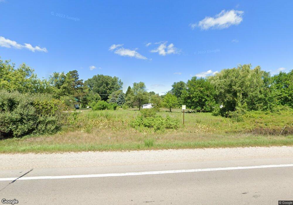
4055 S M 52 Owosso, MI 48867
Estimated Value: $147,864 - $189,000
Studio
--
Bath
--
Sq Ft
43,560
Sq Ft Lot
About This Home
This home is located at 4055 S M 52, Owosso, MI 48867 and is currently estimated at $172,466. 4055 S M 52 is a home located in Shiawassee County with nearby schools including Owosso High School, Salem Lutheran School, and Owosso Christian School.
Ownership History
Date
Name
Owned For
Owner Type
Purchase Details
Closed on
Oct 3, 2003
Sold by
Carpenter Eugene T and Carpenter Mary E
Bought by
Bartlett Steven J and Bartlett Michelle A
Current Estimated Value
Home Financials for this Owner
Home Financials are based on the most recent Mortgage that was taken out on this home.
Original Mortgage
$94,500
Outstanding Balance
$44,764
Interest Rate
6.43%
Mortgage Type
Purchase Money Mortgage
Estimated Equity
$127,702
Purchase Details
Closed on
Mar 28, 2003
Sold by
Carpenter Eugene T and Carpenter Mary E
Bought by
Wiegel Tom
Purchase Details
Closed on
Oct 2, 2002
Sold by
Carpenter Eugene T and Carpenter Mary E
Bought by
Wells Fargo and Norwest Bank
Create a Home Valuation Report for This Property
The Home Valuation Report is an in-depth analysis detailing your home's value as well as a comparison with similar homes in the area
Purchase History
| Date | Buyer | Sale Price | Title Company |
|---|---|---|---|
| Bartlett Steven J | $90,000 | Chicago Title | |
| Carpenter Eugene T | $70,000 | Chicago Title | |
| Wiegel Tom | $70,000 | Chicago Title Company | |
| Carpenter Eugene T | -- | Chicago Title | |
| Wells Fargo | $60,256 | -- |
Source: Public Records
Mortgage History
| Date | Status | Borrower | Loan Amount |
|---|---|---|---|
| Open | Bartlett Steven J | $94,500 |
Source: Public Records
Tax History
| Year | Tax Paid | Tax Assessment Tax Assessment Total Assessment is a certain percentage of the fair market value that is determined by local assessors to be the total taxable value of land and additions on the property. | Land | Improvement |
|---|---|---|---|---|
| 2025 | $1,306 | $71,200 | $0 | $0 |
| 2024 | $1,280 | $64,800 | $0 | $0 |
| 2023 | $452 | $59,000 | $0 | $0 |
| 2022 | $430 | $53,800 | $0 | $0 |
| 2021 | $1,092 | $50,000 | $0 | $0 |
| 2020 | $1,082 | $49,200 | $0 | $0 |
| 2019 | $1,050 | $40,200 | $0 | $0 |
| 2018 | $1,066 | $38,700 | $0 | $0 |
| 2017 | $858 | $36,000 | $0 | $0 |
| 2016 | -- | $36,000 | $0 | $0 |
| 2015 | -- | $34,700 | $0 | $0 |
| 2014 | $4 | $32,500 | $0 | $0 |
Source: Public Records
Map
Nearby Homes
- 4458 S M 52
- 1965 W Manitou Dr
- 992 W Bennington Rd
- 2930 S Ruess Rd
- V/L Morrice Rd Rd
- 2375 W Dewey Rd
- 2590 S Morrice Rd
- 2431 S Morrice Rd
- 1860 Michigan 52
- 539 W Wildwood Dr
- 7047 Bennington Greens Dr
- 20 Bennington Greens Dr
- 26 Bennington Greens Dr Unit 26
- 24 Bennington Greens Dr
- 25 Bennington Greens Dr
- 1648 S M 52
- 38 Bennington Greens
- 0 Gale Rd Unit 50124635
- 1627 Michigan 52
- 1907 Krouse Rd
- 4051 #1 S M-52
- 4051 #2 S M-52
- 4051 Michigan 52
- 4051 S M-52
- 3825 S M 52
- 3980 S M 52
- 4175 S M 52
- 3112 W Bennington Rd
- 3958 S M 52
- 3962 S M 52
- 3962 S M 52
- 4150 S M 52
- 3962 Michigan 52
- 3945 Michigan 52
- 3130 W Bennington Rd
- 2820 W Bennington Rd
- 3150 W Bennington Rd
- 3955 S M 52
- PAR C Old Colony
- PAR B Old Colony
Your Personal Tour Guide
Ask me questions while you tour the home.