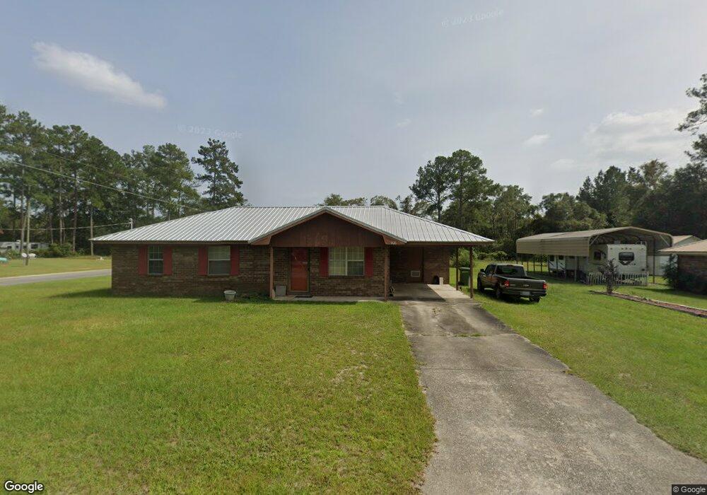
406 Pine St Screven, GA 31560
Estimated Value: $119,000 - $137,813
3
Beds
1
Bath
1,025
Sq Ft
$127/Sq Ft
Est. Value
About This Home
This home is located at 406 Pine St, Screven, GA 31560 and is currently estimated at $130,453, approximately $127 per square foot. 406 Pine St is a home located in Wayne County with nearby schools including Screven Elementary School, Arthur Williams Middle School, and Wayne County High School.
Ownership History
Date
Name
Owned For
Owner Type
Purchase Details
Closed on
Mar 10, 2021
Sold by
Dunford Christopher K
Bought by
Dunford Kimber L
Current Estimated Value
Purchase Details
Closed on
Mar 1, 2002
Sold by
Roberson Charlton E and Roberson Novis W
Bought by
Dunford Christopher
Purchase Details
Closed on
Jan 1, 1994
Bought by
Roberson Charlton E and Roberson Novis W
Purchase Details
Closed on
Oct 1, 1983
Create a Home Valuation Report for This Property
The Home Valuation Report is an in-depth analysis detailing your home's value as well as a comparison with similar homes in the area
Purchase History
We collect this data history from publicly available records. To have your information removed, we recommend requesting removal directly through your county’s website.
| Date | Buyer | Sale Price | Title Company |
|---|---|---|---|
| Dunford Kimber L | -- | -- | |
| Dunford Christopher | $55,000 | -- | |
| Roberson Charlton E | -- | -- | |
| -- | $36,000 | -- |
Source: Public Records
Tax History
| Year | Tax Paid | Tax Assessment Tax Assessment Total Assessment is a certain percentage of the fair market value that is determined by local assessors to be the total taxable value of land and additions on the property. | Land | Improvement |
|---|---|---|---|---|
| 2025 | $1,001 | $36,974 | $1,862 | $35,112 |
| 2024 | $955 | $35,793 | $1,862 | $33,931 |
| 2023 | $850 | $24,310 | $1,808 | $22,502 |
| 2022 | $608 | $24,310 | $1,808 | $22,502 |
| 2021 | $651 | $24,310 | $1,808 | $22,502 |
| 2020 | $674 | $24,310 | $1,808 | $22,502 |
| 2019 | $694 | $24,310 | $1,808 | $22,502 |
| 2018 | $694 | $24,310 | $1,808 | $22,502 |
| 2017 | $597 | $24,310 | $1,808 | $22,502 |
| 2016 | $578 | $24,310 | $1,808 | $22,502 |
| 2014 | $580 | $24,310 | $1,808 | $22,502 |
| 2013 | -- | $24,310 | $1,808 | $22,502 |
Source: Public Records
Map
Nearby Homes
- 109 Joyner St
- 318 Tyre Rd
- 102 Highsmith Ave
- 391 S Forks Rd
- 0 Dale Mill Rd
- 9574 Waycross Hwy
- 16-17-18 Wayenda Ct
- 59 Enoch Moody Rd
- 1234 Bennett Rd
- 88 Minnesota Rd
- 1517 Granny Crosby Rd
- 726 Dasher Rd
- 6005 Chancey Rd
- TRACT 1 Loggan Ln
- TRACT 2 Loggan Ln
- 88 Rogers Break Rd
- Tract 1 Unit Loggan Lane
- Tract 2 Unit Loggan Lane
- 0 Rogers Break Unit 1656131
- 0 Rogers Break Unit 169922
Your Personal Tour Guide
Ask me questions while you tour the home.