Estimated Value: $430,000 - $615,000
4
Beds
2
Baths
1,344
Sq Ft
$376/Sq Ft
Est. Value
About This Home
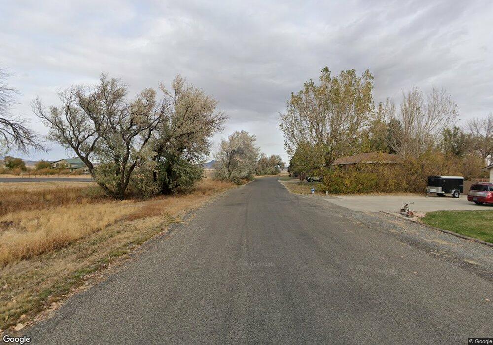
This home is located at 406 S Fork Rd, Cody, WY 82414 and is currently estimated at $505,069, approximately $375 per square foot. 406 S Fork Rd is a home located in Park County with nearby schools including Cody Middle School and Cody High School.
Ownership History
Date
Name
Owned For
Owner Type
Purchase Details
Closed on
Mar 15, 2019
Sold by
Walters Brandon and Walters Gayle
Bought by
Walters Brandon and Walters Gayle
Current Estimated Value
Home Financials for this Owner
Home Financials are based on the most recent Mortgage that was taken out on this home.
Original Mortgage
$29,800
Outstanding Balance
$26,199
Interest Rate
4.4%
Mortgage Type
New Conventional
Estimated Equity
$478,870
Purchase Details
Closed on
Apr 12, 2006
Sold by
Hornung Chester Ray and Hornung Jennifer Lee
Bought by
Hamm Jefferson D and Hamm Lillian D
Home Financials for this Owner
Home Financials are based on the most recent Mortgage that was taken out on this home.
Original Mortgage
$158,875
Interest Rate
6.22%
Mortgage Type
New Conventional
Create a Home Valuation Report for This Property
The Home Valuation Report is an in-depth analysis detailing your home's value as well as a comparison with similar homes in the area
Purchase History
| Date | Buyer | Sale Price | Title Company |
|---|---|---|---|
| Walters Brandon | -- | -- | |
| Hamm Jefferson D | -- | None Available |
Source: Public Records
Mortgage History
| Date | Status | Borrower | Loan Amount |
|---|---|---|---|
| Open | Walters Brandon | $29,800 | |
| Previous Owner | Hamm Jefferson D | $158,875 |
Source: Public Records
Tax History
| Year | Tax Paid | Tax Assessment Tax Assessment Total Assessment is a certain percentage of the fair market value that is determined by local assessors to be the total taxable value of land and additions on the property. | Land | Improvement |
|---|---|---|---|---|
| 2025 | $1,374 | $19,765 | $3,670 | $16,095 |
| 2024 | $2,635 | $37,907 | $7,059 | $30,848 |
| 2023 | $2,508 | $36,092 | $6,423 | $29,669 |
| 2022 | $2,112 | $30,131 | $5,473 | $24,658 |
| 2021 | $1,625 | $23,215 | $5,451 | $17,764 |
| 2020 | $1,547 | $22,094 | $4,092 | $18,002 |
| 2019 | $1,497 | $21,389 | $4,092 | $17,297 |
| 2018 | $1,454 | $20,776 | $4,092 | $16,684 |
| 2017 | $1,337 | $19,097 | $4,121 | $14,976 |
| 2016 | $1,261 | $18,010 | $4,180 | $13,830 |
| 2015 | $1,230 | $17,324 | $4,180 | $13,144 |
| 2014 | $1,163 | $16,787 | $4,754 | $12,033 |
Source: Public Records
Map
Nearby Homes
- 31 Diamond Basin Rd
- 12 Big Creek Dr Unit 28
- 74 Big Creek Dr
- 293 Southfork Rd
- 131 Copperleaf Dr
- 29 Wall St
- 139 S Chugwater Dr
- 30 Nielsen Trail
- 230 Carter View Dr Unit 1
- 200 Carter View Dr Unit 3
- 80 Southfork Rd
- TBD Bartlett Ln
- TBD Diamond Basin Rd Unit 3
- 745 Southfork Rd
- 2202 Gentle St
- 407 Diamond Basin Rd
- 401 Lichen Dr
- TBD 2 Saturn St Unit 2
- TBD Saturn St Unit 1
- 407 Indigo Cir
- 406 Southfork Rd Unit Lot 52
- 400 S Fork Rd
- 400 Southfork Rd
- 396 S Fork Rd
- 396 Southfork Rd
- 413 S Fork Rd
- 394 S Fork Rd
- 412 S Fork Rd
- 414 S Fork Rd
- 414 Southfork Rd
- 403 S Fork Rd
- 401 S Fork Rd
- 18 Arapahoe Trail
- 428 S Fork Rd
- 428 S Fork Rd
- 40 Arapahoe Trail
- 10 Arapahoe Trail
- 4 Anasazi Trail
- 1 Aztec Rd
- 41 Arapahoe Trail
Your Personal Tour Guide
Ask me questions while you tour the home.