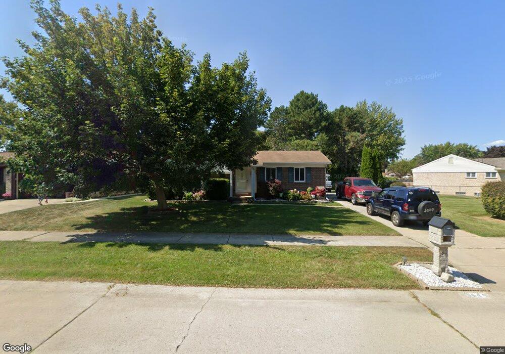
40645 Michael St Clinton Township, MI 48038
Estimated Value: $317,964 - $333,000
About This Home
This home is located at 40645 Michael St, Clinton Township, MI 48038 and is currently estimated at $321,741, approximately $199 per square foot. 40645 Michael St is a home located in Macomb County with nearby schools including Clinton Valley Elementary School, Algonquin Middle School, and Chippewa Valley High School.
Ownership History
We collect this data history from publicly available records. To have your information removed, we recommend requesting removal directly through your county’s website.
Purchase Details
Home Financials for this Owner
Home Financials are based on the most recent Mortgage that was taken out on this home.Purchase Details
Home Financials for this Owner
Home Financials are based on the most recent Mortgage that was taken out on this home.Purchase Details
Home Values in the Area
Average Home Value in this Area
Purchase History
We collect this data history from publicly available records. To have your information removed, we recommend requesting removal directly through your county’s website.
| Date | Buyer | Sale Price | Title Company |
|---|---|---|---|
| -- | -- | ||
| $190,000 | Lawyers Title Ins | ||
| $168,500 | -- |
Mortgage History
We collect this data history from publicly available records. To have your information removed, we recommend requesting removal directly through your county’s website.
| Date | Status | Borrower | Loan Amount |
|---|---|---|---|
| Open | $132,500 | ||
| Closed | $152,000 | ||
| Closed | $18,950 | ||
| Previous Owner | $166,499 | ||
| Previous Owner | $136,000 |
Tax History
We collect this data history from publicly available records. To have your information removed, we recommend requesting removal directly through your county’s website.
| Year | Tax Paid | Tax Assessment Tax Assessment Total Assessment is a certain percentage of the fair market value that is determined by local assessors to be the total taxable value of land and additions on the property. | Land | Improvement |
|---|---|---|---|---|
| 2026 | $3,460 | $152,100 | $0 | $0 |
| 2025 | $2,062 | $142,600 | $0 | $0 |
| 2024 | $20 | $131,500 | $0 | $0 |
| 2023 | $1,902 | $117,300 | $0 | $0 |
| 2022 | $3,049 | $111,200 | $0 | $0 |
| 2021 | $2,965 | $102,500 | $0 | $0 |
| 2020 | $1,745 | $97,800 | $0 | $0 |
| 2019 | $2,762 | $91,700 | $0 | $0 |
| 2018 | $2,713 | $86,300 | $0 | $0 |
| 2017 | $2,681 | $80,300 | $16,800 | $63,500 |
| 2016 | $2,664 | $80,300 | $0 | $0 |
| 2015 | -- | $74,800 | $0 | $0 |
| 2014 | -- | $67,800 | $0 | $0 |
| 2011 | -- | $67,300 | $18,400 | $48,900 |
Map
- 19324 Todd Dr
- 40518 William Dr
- 19714 Rosin Dr
- 40925 Mcnamara Dr
- 19314 Cooper St
- 41071 E Rosewood Dr Unit 57
- 40298 Sandy Dr
- 19322 Linwood Dr Unit 70
- 19688 Rich Dr
- 39995 Brylor Ct
- 41230 Whispering Oaks Dr
- 19020 Carmelo Dr N Unit 115
- 39738 Day Dr
- 20489 Damask Cir
- 20330 Rambling Dr
- 20400 Robinway Dr
- 20070 Ridgeway Ct
- 20210 Anita St
- 41220 Scarborough Ct
- 41891 Clinton Pines Dr
- 40629 Michael St
- 40677 Michael St
- 40632 William Dr
- 40648 William Dr
- 40613 Michael St Unit Bldg-Unit
- 40613 Michael St
- 40709 Michael St
- 19511 Korte Dr
- 40616 William Dr
- 40597 Michael St
- 19510 Korte Dr
- 40666 Michael St
- 19351 Todd Dr
- 40725 Michael St
- 40680 Michael St
- 19537 Korte Dr
- 40598 William Dr
- 40694 Michael St
- 19536 Korte Dr
- 40581 Michael St
Ask me questions while you tour the home.