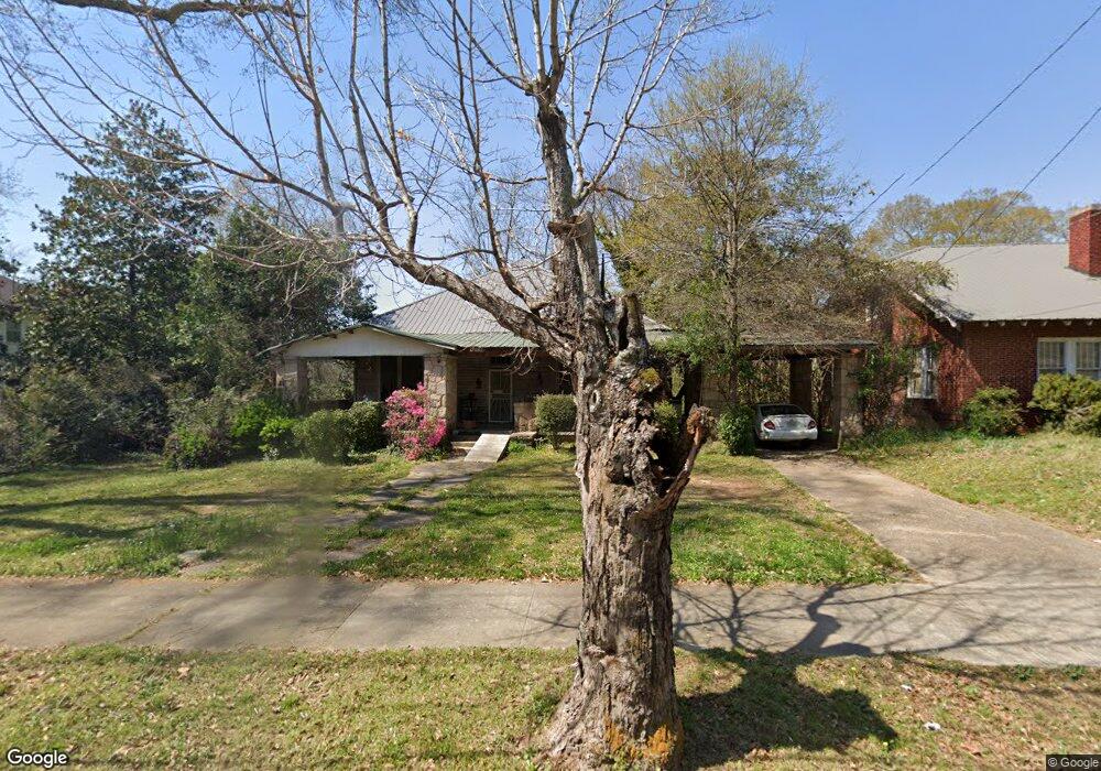
407 Hill St Lagrange, GA 30241
Estimated Value: $62,000 - $147,000
3
Beds
1
Bath
1,920
Sq Ft
$52/Sq Ft
Est. Value
About This Home
This home is located at 407 Hill St, Lagrange, GA 30241 and is currently estimated at $100,690, approximately $52 per square foot. 407 Hill St is a home with nearby schools including Franklin Forest Elementary School, Hollis Hand Elementary School, and Ethel W. Kight Elementary School.
Ownership History
Date
Name
Owned For
Owner Type
Purchase Details
Closed on
Feb 2, 2023
Sold by
Bryan Brand Llc
Bought by
H T K Properties Llc
Current Estimated Value
Home Financials for this Owner
Home Financials are based on the most recent Mortgage that was taken out on this home.
Original Mortgage
$30,000
Outstanding Balance
$19,462
Interest Rate
6.48%
Mortgage Type
New Conventional
Estimated Equity
$81,228
Purchase Details
Closed on
May 5, 1981
Sold by
Janelle M Denney Etal
Bought by
Tucker Madeline M
Purchase Details
Closed on
Jan 1, 1963
Sold by
Mrs Mattie Lou Aiken
Bought by
Janelle M Denney Etal
Create a Home Valuation Report for This Property
The Home Valuation Report is an in-depth analysis detailing your home's value as well as a comparison with similar homes in the area
Purchase History
| Date | Buyer | Sale Price | Title Company |
|---|---|---|---|
| H T K Properties Llc | $30,000 | -- | |
| Tucker Madeline M | $39,000 | -- | |
| Janelle M Denney Etal | -- | -- |
Source: Public Records
Mortgage History
| Date | Status | Borrower | Loan Amount |
|---|---|---|---|
| Open | H T K Properties Llc | $30,000 |
Source: Public Records
Tax History
| Year | Tax Paid | Tax Assessment Tax Assessment Total Assessment is a certain percentage of the fair market value that is determined by local assessors to be the total taxable value of land and additions on the property. | Land | Improvement |
|---|---|---|---|---|
| 2025 | $622 | $22,800 | $5,160 | $17,640 |
| 2024 | $327 | $21,360 | $5,160 | $16,200 |
| 2023 | $578 | $21,200 | $5,160 | $16,040 |
| 2022 | $579 | $20,760 | $5,160 | $15,600 |
| 2021 | $364 | $12,080 | $5,160 | $6,920 |
| 2020 | $364 | $12,080 | $5,160 | $6,920 |
| 2019 | $237 | $7,860 | $2,940 | $4,920 |
| 2018 | $237 | $7,860 | $2,940 | $4,920 |
| 2017 | $237 | $7,860 | $2,940 | $4,920 |
| 2016 | $233 | $7,741 | $2,940 | $4,801 |
| 2015 | $313 | $10,351 | $3,870 | $6,481 |
| 2014 | $313 | $10,345 | $5,160 | $5,185 |
| 2013 | -- | $10,690 | $5,160 | $5,530 |
Source: Public Records
Map
Nearby Homes
- 131 Foch St
- 121 de Groat St
- 622 Arthur St
- 616 S Harlem Cir
- 706 N Harlem Cir
- 301 E Bacon St
- 803 1/2 Hines St
- 801 Hines St
- 208 Render St
- 101 McGee St
- 609 Ridley Ave
- 707 Ridley Ave
- 611 Ridley Ave
- 615 Ridley Ave
- 709 Ridley Ave
- 0 Ridley Ave Unit 10550104
- 228 E Render St
- LOT 58 Belk St
- 119 Belk St
- LOT 65 Belk St
Your Personal Tour Guide
Ask me questions while you tour the home.