407 Neel Ave van Wert, OH 45891
Estimated Value: $62,298 - $235,000
About This Home
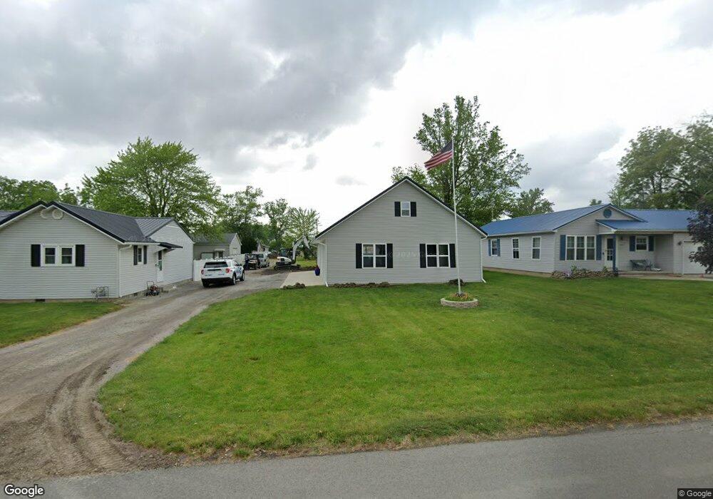
This home is located at 407 Neel Ave, van Wert, OH 45891 and is currently estimated at $127,099, approximately $271 per square foot. 407 Neel Ave is a home located in Van Wert County with nearby schools including Van Wert Early Childhood Center, Van Wert High School, and Lifelinks Community School.
Ownership History
We collect this data history from publicly available records. To have your information removed, we recommend requesting removal directly through your county’s website.
Purchase Details
Purchase Details
Purchase Details
Purchase Details
Purchase Details
Home Values in the Area
Average Home Value in this Area
Purchase History
We collect this data history from publicly available records. To have your information removed, we recommend requesting removal directly through your county’s website.
| Date | Buyer | Sale Price | Title Company |
|---|---|---|---|
| $9,500 | None Available | ||
| $1,000 | None Available | ||
| $1,000 | None Available | ||
| $23,200 | -- | ||
| $23,200 | -- | ||
| $19,500 | -- |
Tax History
We collect this data history from publicly available records. To have your information removed, we recommend requesting removal directly through your county’s website.
| Year | Tax Paid | Tax Assessment Tax Assessment Total Assessment is a certain percentage of the fair market value that is determined by local assessors to be the total taxable value of land and additions on the property. | Land | Improvement |
|---|---|---|---|---|
| 2025 | $400 | $12,010 | $2,410 | $9,600 |
| 2024 | $400 | $2,410 | $2,410 | $0 |
| 2023 | $80 | $2,410 | $2,410 | $0 |
| 2022 | $88 | $2,310 | $2,310 | $0 |
| 2021 | $138 | $2,310 | $2,310 | $0 |
| 2020 | $188 | $5,110 | $2,310 | $2,800 |
| 2019 | $318 | $7,110 | $2,310 | $4,800 |
| 2018 | $320 | $7,670 | $2,310 | $5,360 |
| 2017 | $308 | $7,670 | $2,310 | $5,360 |
| 2016 | $258 | $7,020 | $2,310 | $4,710 |
| 2015 | $258 | $7,020 | $2,310 | $4,710 |
| 2014 | -- | $7,020 | $2,310 | $4,710 |
| 2013 | -- | $7,020 | $2,310 | $4,710 |
Map
- 499 Shaffer St
- 603 Pewterboy Ave
- 600 Ulm Dr
- 1030 Green St
- 837 Elson Ave
- 331 North St
- 244 Parkview Dr
- 702 W Main St
- 243 Kenwick Dr
- 515 W Main St
- 1225 David St
- 523 N Washington St
- 708 N Washington St
- 9012 John Brown Rd
- 1328 Kathy St
- 736 Leeson Ave
- 692 N Market St
- 000 Lincoln Hwy
- 14934 Lincoln Hwy
- 00 Lincoln Hwy
Ask me questions while you tour the home.