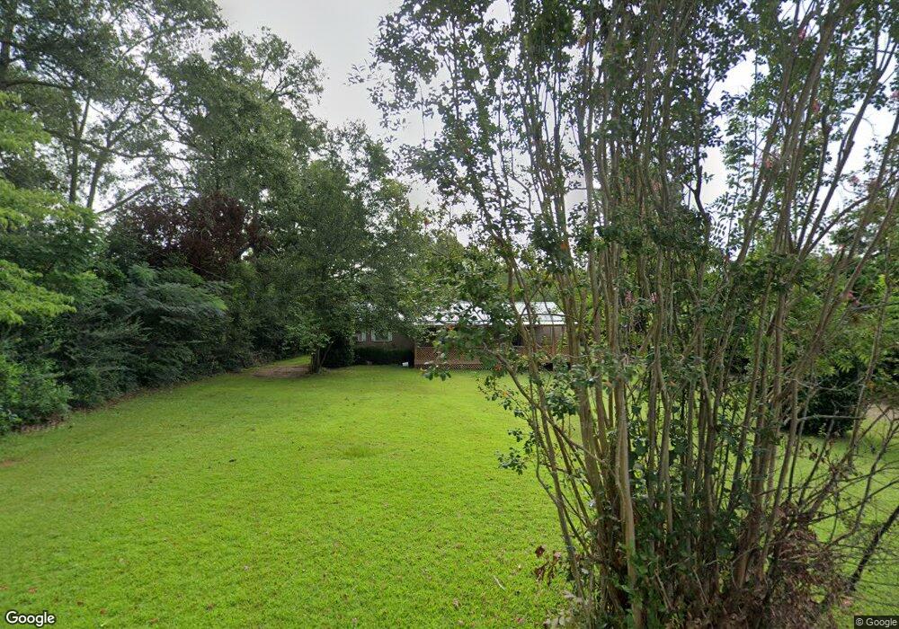
408 Redding Ave Edison, GA 39846
Estimated Value: $80,135 - $202,000
3
Beds
2
Baths
1,584
Sq Ft
$86/Sq Ft
Est. Value
About This Home
This home is located at 408 Redding Ave, Edison, GA 39846 and is currently estimated at $136,034, approximately $85 per square foot. 408 Redding Ave is a home with nearby schools including Calhoun County Elementary School, Calhoun County Middle School, and Calhoun County High School.
Ownership History
Date
Name
Owned For
Owner Type
Purchase Details
Closed on
May 10, 2013
Sold by
Cooper James M
Bought by
Cox Emery A and Cox Krystal Brook
Current Estimated Value
Home Financials for this Owner
Home Financials are based on the most recent Mortgage that was taken out on this home.
Original Mortgage
$51,500
Interest Rate
3.44%
Mortgage Type
New Conventional
Purchase Details
Closed on
Dec 31, 1998
Bought by
Cooper Claud Gary and Cooper James M
Create a Home Valuation Report for This Property
The Home Valuation Report is an in-depth analysis detailing your home's value as well as a comparison with similar homes in the area
Purchase History
| Date | Buyer | Sale Price | Title Company |
|---|---|---|---|
| Cox Emery A | $53,500 | -- | |
| Cooper Claud Gary | -- | -- |
Source: Public Records
Mortgage History
| Date | Status | Borrower | Loan Amount |
|---|---|---|---|
| Closed | Cox Emery A | $51,500 |
Source: Public Records
Tax History
| Year | Tax Paid | Tax Assessment Tax Assessment Total Assessment is a certain percentage of the fair market value that is determined by local assessors to be the total taxable value of land and additions on the property. | Land | Improvement |
|---|---|---|---|---|
| 2025 | $1,389 | $24,382 | $2,108 | $22,274 |
| 2024 | $1,391 | $24,382 | $2,108 | $22,274 |
| 2023 | $1,243 | $24,382 | $2,108 | $22,274 |
| 2022 | $699 | $24,382 | $2,108 | $22,274 |
| 2021 | $648 | $19,962 | $2,108 | $17,854 |
| 2020 | $1,138 | $19,962 | $2,108 | $17,854 |
| 2019 | $711 | $20,610 | $2,108 | $18,502 |
| 2018 | $663 | $20,610 | $2,108 | $18,502 |
| 2017 | $952 | $20,610 | $2,108 | $18,502 |
| 2016 | $612 | $20,651 | $2,108 | $18,543 |
| 2015 | -- | $20,651 | $2,108 | $18,543 |
| 2014 | -- | $21,131 | $2,108 | $19,022 |
| 2013 | -- | $21,631 | $2,108 | $19,522 |
Source: Public Records
Map
Nearby Homes
- 19468 Hartford St E
- 19750 Hartford St
- Pine St NW
- 1626 Pine St
- 1 Pine St
- 0 Pine St
- 203 Wayback Rd
- Williams Creek Farm
- Home Place
- 3086 Dukes Creek Rd
- Gin Pond
- 135 Eleven Bridges Rd
- 24346 U S 27
- 24333 U S 27
- 0 Buck Rd Unit 10658812
- XX4 Bluffton Rd NW
- XX3 Bluffton Rd NW
- XX1 Bluffton Rd NW
- XX2 Bluffton Rd NW
- 31 Georgia 41
- 19611 Hartford St
- 19579 Hartford St
- 19643 Hartford St
- 395 Redding Ave
- 344 Redding Ave
- 19541 Hartford St
- 19659 Hartford St
- 194 Strickland St
- 19562 Hartford St
- 234 Strickland St
- 70 Strickland St
- 19580 Hartford St
- 19697 Hartford St
- 19495 Hartford St
- 250 Strickland St
- 19618 Hartford St
- 19688 Hartford St
- 435 Turner St
- 19721 Hartford St
- 319 Turner St
Your Personal Tour Guide
Ask me questions while you tour the home.