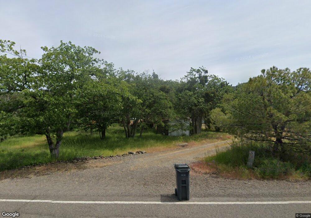
4087 E Antelope Rd Eagle Point, OR 97524
Estimated Value: $389,000 - $490,901
4
Beds
2
Baths
1,383
Sq Ft
$309/Sq Ft
Est. Value
About This Home
This home is located at 4087 E Antelope Rd, Eagle Point, OR 97524 and is currently estimated at $427,634, approximately $309 per square foot. 4087 E Antelope Rd is a home located in Jackson County with nearby schools including Table Rock Elementary School, White Mountain Middle School, and Eagle Point Middle School.
Ownership History
Date
Name
Owned For
Owner Type
Purchase Details
Closed on
Aug 2, 2001
Sold by
Azevedo Kenneth C
Bought by
Azevedo Kenneth C and Azevedo Marie K
Current Estimated Value
Purchase Details
Closed on
Nov 9, 2000
Sold by
Azevedo Kenneth C and Azevedo Teresa J
Bought by
Azevedo Kenneth C
Purchase Details
Closed on
Dec 22, 1997
Sold by
Evans Leon L and Evans Doris G
Bought by
Azevedo Kenneth C and Azevedo Teresa J
Home Financials for this Owner
Home Financials are based on the most recent Mortgage that was taken out on this home.
Original Mortgage
$62,000
Outstanding Balance
$9,398
Interest Rate
7.22%
Mortgage Type
Seller Take Back
Estimated Equity
$418,236
Create a Home Valuation Report for This Property
The Home Valuation Report is an in-depth analysis detailing your home's value as well as a comparison with similar homes in the area
Purchase History
| Date | Buyer | Sale Price | Title Company |
|---|---|---|---|
| Azevedo Kenneth C | -- | -- | |
| Azevedo Kenneth C | -- | -- | |
| Azevedo Kenneth C | $63,000 | Jackson County Title |
Source: Public Records
Mortgage History
| Date | Status | Borrower | Loan Amount |
|---|---|---|---|
| Open | Azevedo Kenneth C | $62,000 |
Source: Public Records
Tax History
| Year | Tax Paid | Tax Assessment Tax Assessment Total Assessment is a certain percentage of the fair market value that is determined by local assessors to be the total taxable value of land and additions on the property. | Land | Improvement |
|---|---|---|---|---|
| 2026 | $2,813 | $237,490 | -- | -- |
| 2025 | $2,740 | $230,580 | $84,780 | $145,800 |
| 2024 | $2,740 | $223,870 | $98,740 | $125,130 |
| 2023 | $2,647 | $217,350 | $95,850 | $121,500 |
| 2022 | $2,577 | $217,350 | $95,850 | $121,500 |
| 2021 | $2,503 | $211,020 | $93,060 | $117,960 |
| 2020 | $2,695 | $204,880 | $90,340 | $114,540 |
| 2019 | $2,661 | $193,130 | $85,160 | $107,970 |
| 2018 | $2,600 | $187,510 | $82,680 | $104,830 |
| 2017 | $2,538 | $187,510 | $82,680 | $104,830 |
| 2016 | $2,473 | $176,750 | $77,930 | $98,820 |
| 2015 | $2,368 | $176,750 | $77,930 | $98,820 |
| 2014 | $2,259 | $166,620 | $73,470 | $93,150 |
Source: Public Records
Map
Nearby Homes
- 4477 E Antelope Rd
- 5516 Davanna Dr
- 6443 Monte Vista Ct
- 0 Monte Vista Ct
- 7575 Torrey Pines Terrace
- 6536 Shadow Glen Dr
- 0 E Antelope Rd E Unit 11556112
- 0 E Antelope Rd E Unit 300, 301
- 0 E Antelope Rd E Unit TL201 24178987
- 365 White Tail Dr
- 1011 Wren Ridge Dr
- 448 Wren Ridge Dr
- 766 Meridian Rd
- 7555 E Antelope Rd
- 1631 E Antelope Rd
- 4886 Antelope Rd
- 6915 Kershaw Rd
- 3103 E Vilas Rd
- 5942 Foothill Rd
- 7314 Kershaw Rd
- 4063 E Antelope Rd
- 4150 E Antelope Rd
- 4125 E Antelope Rd
- 3990 E Antelope Rd
- 4164 E Antelope Rd
- 3942 E Antelope Rd
- 4175 E Antelope Rd
- 4000 E Antelope Rd
- 3920 E Antelope Rd
- 4180 E Antelope Rd
- 3933 E Antelope Rd
- 3980 E Antelope Rd
- 3900 E Antelope Rd
- 4532 E Antelope Rd
- 1107 Craiglea Dr
- 915 Craiglea Dr
- 4895 E Antelope Rd
- 849 Craiglea Dr
- 3926 E Antelope Rd
- 4590 E Antelope Rd
Your Personal Tour Guide
Ask me questions while you tour the home.