Estimated Value: $401,686 - $479,000
4
Beds
3
Baths
2,350
Sq Ft
$181/Sq Ft
Est. Value
About This Home
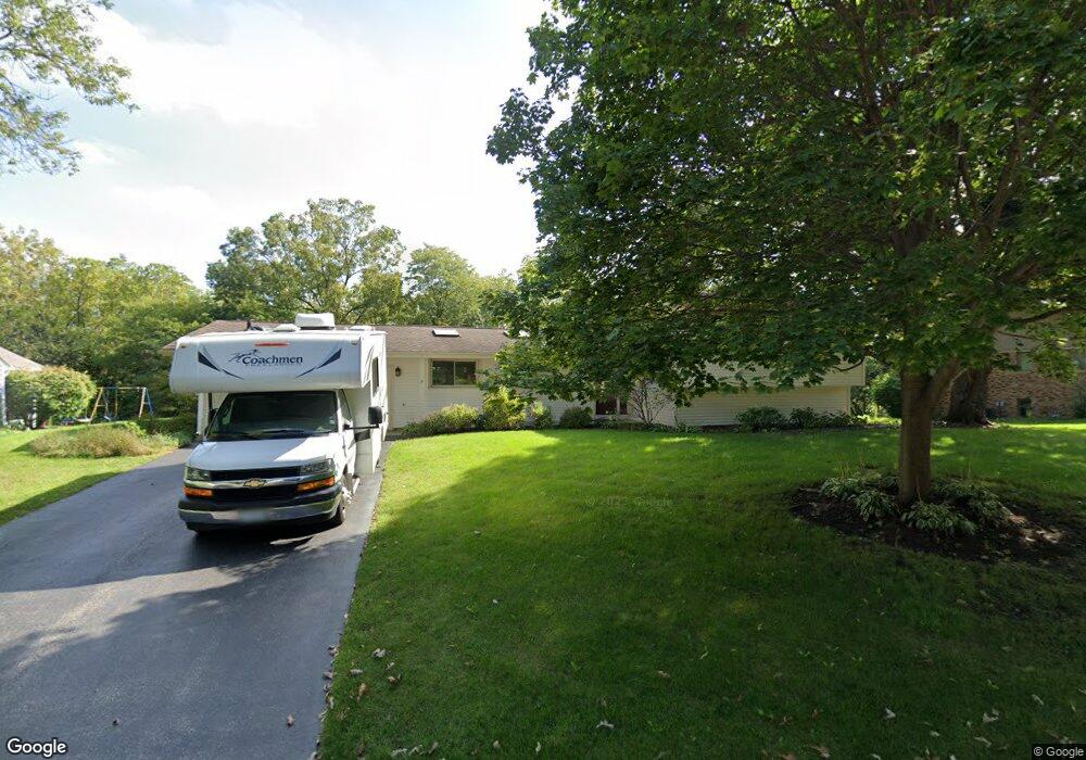
This home is located at 409 High Rd, Cary, IL 60013 and is currently estimated at $425,422, approximately $181 per square foot. 409 High Rd is a home located in McHenry County with nearby schools including Briargate Elementary School, Cary Jr High School, and Cary-Grove High School.
Ownership History
Date
Name
Owned For
Owner Type
Purchase Details
Closed on
Jan 29, 2020
Sold by
Rutkowski Jeanne M
Bought by
Jeanne Rutkowski Trust and Rutkowski
Current Estimated Value
Purchase Details
Closed on
Mar 26, 2012
Sold by
Kathrein Diane E
Bought by
Rutkowski Jeanne M
Purchase Details
Closed on
Jan 21, 2000
Sold by
State Bank Of The Lakes
Bought by
Kathrein Diane E
Home Financials for this Owner
Home Financials are based on the most recent Mortgage that was taken out on this home.
Original Mortgage
$89,400
Interest Rate
8.08%
Mortgage Type
Seller Take Back
Create a Home Valuation Report for This Property
The Home Valuation Report is an in-depth analysis detailing your home's value as well as a comparison with similar homes in the area
Home Values in the Area
Average Home Value in this Area
Purchase History
| Date | Buyer | Sale Price | Title Company |
|---|---|---|---|
| Jeanne Rutkowski Trust | -- | None Listed On Document | |
| Rutkowski Jeanne M | $192,000 | Commonwealth Land Title Insu | |
| Kathrein Diane E | -- | Chicago Title Insurance Co |
Source: Public Records
Mortgage History
| Date | Status | Borrower | Loan Amount |
|---|---|---|---|
| Previous Owner | Kathrein Diane E | $89,400 |
Source: Public Records
Tax History
| Year | Tax Paid | Tax Assessment Tax Assessment Total Assessment is a certain percentage of the fair market value that is determined by local assessors to be the total taxable value of land and additions on the property. | Land | Improvement |
|---|---|---|---|---|
| 2024 | $7,828 | $100,957 | $30,093 | $70,864 |
| 2023 | $7,618 | $90,293 | $26,914 | $63,379 |
| 2022 | $8,504 | $96,818 | $48,511 | $48,307 |
| 2021 | $8,102 | $90,198 | $45,194 | $45,004 |
| 2020 | $7,860 | $87,005 | $43,594 | $43,411 |
| 2019 | $8,288 | $89,144 | $41,725 | $47,419 |
| 2018 | $7,812 | $82,350 | $38,545 | $43,805 |
| 2017 | $7,660 | $77,579 | $36,312 | $41,267 |
| 2016 | $7,601 | $72,762 | $34,057 | $38,705 |
| 2013 | -- | $61,287 | $31,771 | $29,516 |
Source: Public Records
Map
Nearby Homes
- 321 Cold Spring St
- 341 Cold Spring St
- 331 Cold Spring St
- 371 Cold Spring St
- 204 Country Commons Rd
- 258 Stonegate Rd
- 542 Cary Woods Cir
- Lots 2,3,4 Northwest Hwy
- 2016 Grove Ln
- 417 Haber Rd Unit 6
- 421 Haber Rd Unit 7
- 425 Haber Rd Unit 6
- 349 Park Ave
- 128 E Main St
- 124 E Main St
- 112 Pearl St
- 735 Royal Glen Dr
- 259 Firenze Dr Unit 110
- 2101 Riverview Ave
- 1104 Hillcrest Ave
Your Personal Tour Guide
Ask me questions while you tour the home.